鄱阳湖流域1:100万基础地理数据集(2015-2019年)
收藏国家地球系统科学数据中心2024-12-02 更新2024-09-14 收录
下载链接:
https://www.geodata.cn/data/datadetails.html?dataguid=259010705293131&docId=2086
下载链接
链接失效反馈官方服务:
资源简介:
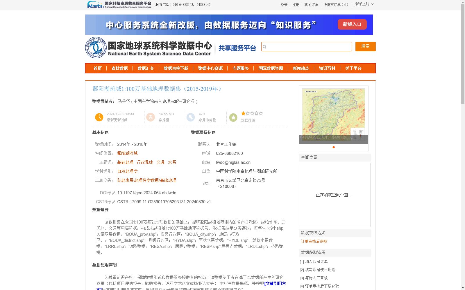
该数据集在全国1:100万基础地理数据的基础上,提取鄱阳湖流域范围内的省市县政区、湖泊水系、居民地、交通等图层数据,构成太湖流域1:100万基础地理数据集。
数据集按年分类存放,每年包含9个shp矢量图层数据,“BOUA_prov.shp”:省级行政区;“BOUA_city.shp”:地级市行政区、;“BOUA_district.shp”:县级行政区;“HYDA.shp”:面状水系数据;“HYDL.shp”:线状水系数据;“LRRL.shp”:铁路数据;“RESA.shp”:居民地数据;“RESP.shp”:居民点数据;“LRDL.shp”:公路数据。
This dataset is derived from the national 1:1,000,000 scale fundamental geographic data, by extracting thematic layers including provincial, prefecture-level and county-level administrative divisions, lake water systems, settlements, transportation and other relevant categories within the Poyang Lake Basin, to form the 1:1,000,000 scale fundamental geographic dataset for the Taihu Lake Basin. The dataset is stored in yearly categorized directories, with 9 shapefile (shp) vector layer files included for each annual dataset. The detailed descriptions of each layer are as follows: "BOUA_prov.shp": provincial administrative divisions; "BOUA_city.shp": prefecture-level city administrative divisions; "BOUA_district.shp": county-level administrative divisions; "HYDA.shp": areal water system data; "HYDL.shp": linear water system data; "LRRL.shp": railway data; "RESA.shp": settlement data; "RESP.shp": residential spot data; "LRDL.shp": highway data.
提供机构:
中国科学院南京地理与湖泊研究所
创建时间:
2024-08-30
搜集汇总
数据集介绍
背景与挑战
背景概述
该数据集是基于全国1:100万基础地理数据提取的鄱阳湖流域基础地理信息,覆盖2014年至2018年,包含省市县政区、湖泊水系、居民地和交通等9个shp矢量图层。数据集采用2000国家大地坐标系,数据质量符合国家技术标准,适用于自然地理学研究和流域管理分析。
以上内容由遇见数据集搜集并总结生成


