全球逐三小时陆地高分辨率边界层高度数据集(2017-2021)
收藏国家青藏高原科学数据中心2022-06-27 更新2024-03-01 收录
下载链接:
https://data.tpdc.ac.cn/zh-hans/data/311e650c-4da1-4a8e-8d2d-91a268ceed78
下载链接
链接失效反馈官方服务:
资源简介:
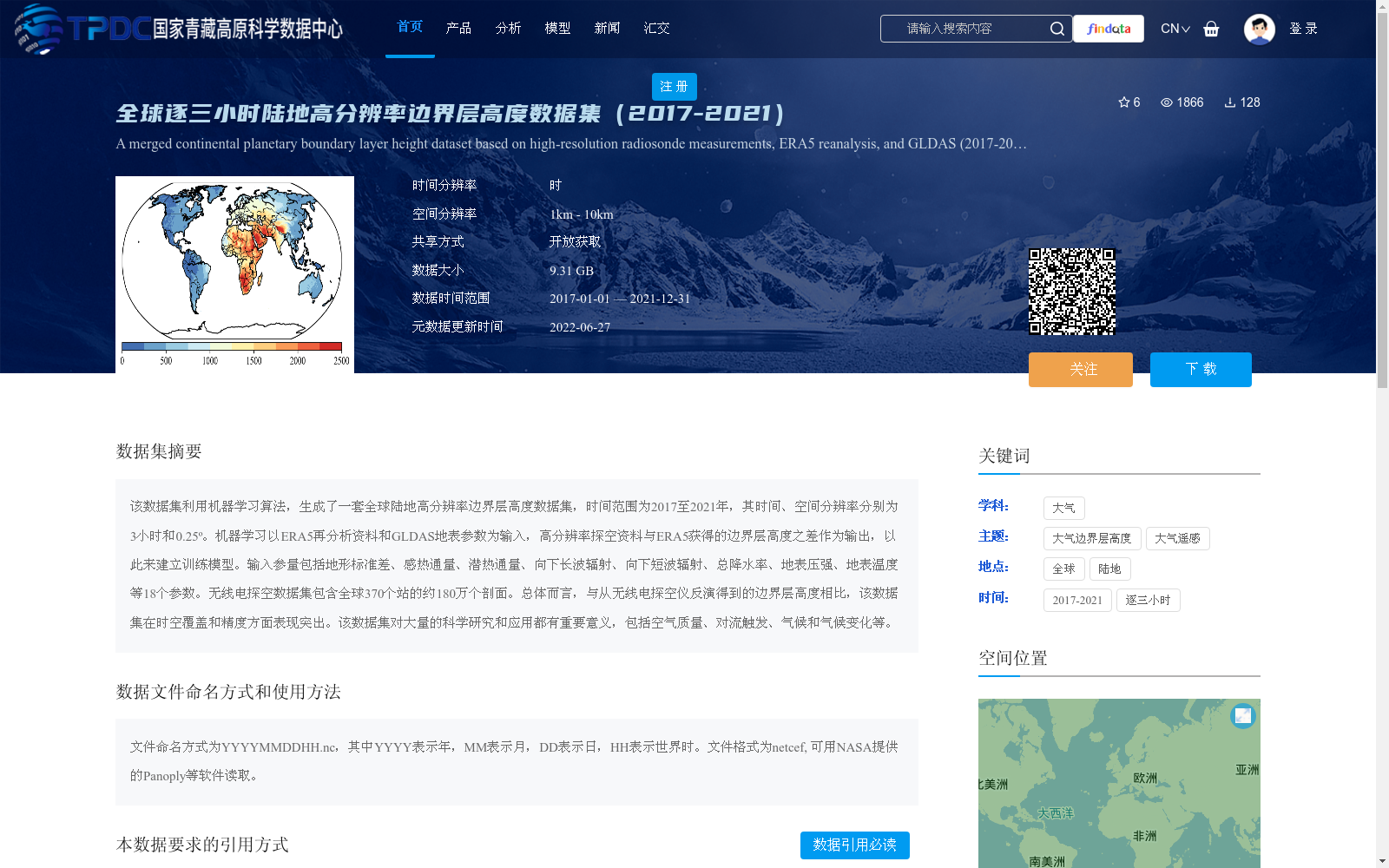
该数据集利用机器学习算法,生成了一套全球陆地高分辨率边界层高度数据集,时间范围为2017至2021年,其时间、空间分辨率分别为3小时和0.25º。机器学习以ERA5再分析资料和GLDAS地表参数为输入,高分辨率探空资料与ERA5获得的边界层高度之差作为输出,以此来建立训练模型。输入参量包括地形标准差、感热通量、潜热通量、向下长波辐射、向下短波辐射、总降水率、地表压强、地表温度等18个参数。无线电探空数据集包含全球370个站的约180万个剖面。总体而言,与从无线电探空仪反演得到的边界层高度相比,该数据集在时空覆盖和精度方面表现突出。该数据集对大量的科学研究和应用都有重要意义,包括空气质量、对流触发、气候和气候变化等。
This dataset employs machine learning algorithms to generate a high-resolution global land boundary layer height dataset spanning from 2017 to 2021, with temporal and spatial resolutions of 3 hours and 0.25°, respectively. The training model is constructed by taking ERA5 reanalysis data and GLDAS land surface parameters as inputs, and the difference between high-resolution sounding data and the boundary layer height derived from ERA5 as the output. The input parameters include 18 variables such as terrain standard deviation, sensible heat flux, latent heat flux, downward longwave radiation, downward shortwave radiation, total precipitation rate, surface pressure, and surface temperature, among others. The radiosonde dataset contains approximately 1.8 million profiles from 370 stations worldwide. Overall, this dataset exhibits excellent performance in terms of spatiotemporal coverage and accuracy when compared to boundary layer heights retrieved from radiosondes. This dataset is of great significance for a wide range of scientific research and applications, including air quality, convection initiation, climate and climate change, and other related fields.
提供机构:
郭建平,张健,邵佳
创建时间:
2022-06-21
搜集汇总
数据集介绍
背景与挑战
背景概述
该数据集是一个全球陆地高分辨率边界层高度数据集,覆盖2017年至2021年,时间分辨率为3小时,空间分辨率为0.25º(约25公里)。它基于机器学习算法生成,融合了ERA5再分析资料、GLDAS地表参数和高分辨率无线电探空测量,利用全球370个站的约180万个剖面进行训练,输入包括地形标准差、感热通量等18个参数,在时空覆盖和精度方面表现优异,适用于空气质量、气候研究等科学应用。
以上内容由遇见数据集搜集并总结生成


