黄淮海区域河南省30米高分辨率土壤有机质数据(2010s)
收藏国家地球系统科学数据中心2025-02-24 更新2025-03-01 收录
下载链接:
https://www.geodata.cn/data/datadetails.html?dataguid=85303268891550&docId=1805
下载链接
链接失效反馈官方服务:
资源简介:
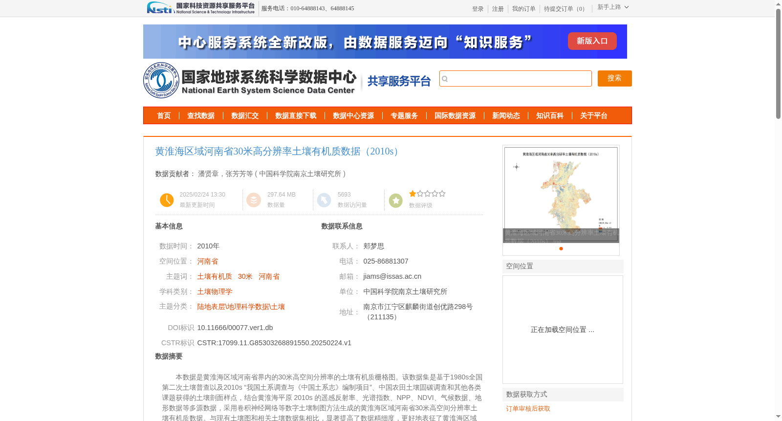
本数据是黄淮海区域河南省界内的30米高空间分辨率的土壤有机质栅格图。该数据集是基于1980s全国第二次土壤普查以及2010s “我国土系调查与《中国土系志》编制项目”、中国农田土壤固碳调查和其他各类课题获得的土壤剖面样点,结合黄淮海平原 2010s 的遥感反射率、光谱指数、NPP、NDVI、气候数据、地形数据等多源数据,采用卷积神经网络等数字土壤制图方法生成的黄淮海区域河南省30米高空间分辨率土壤有机质数据。与现有土壤图和相关土壤数据集相比,显著提高了数据精细度,更好地表征了黄淮海区域土壤有机质的空间变异特征,对于黄淮海平原土壤资源合理利用和精准农业管理具有重要的指导意义。
This dataset is a 30-meter high spatial resolution grid map of soil organic matter within the Henan Province boundary of the Huang-Huai-Hai Region. It was generated using digital soil mapping methods such as convolutional neural networks, based on soil profile samples acquired from the Second National Soil Survey in the 1980s, the "National Soil Series Survey and Compilation of *Soil Series of China*" Project in the 2010s, the China Farmland Soil Carbon Sequestration Survey, and other relevant research projects, as well as multi-source data of the Huang-Huai-Hai Plain in the 2010s including remote sensing reflectance, spectral indices, NPP, NDVI, climatic data and topographic data. Compared with existing soil maps and related soil datasets, this dataset significantly improves data resolution and better characterizes the spatial variability of soil organic matter in the Huang-Huai-Hai Region, which has important guiding significance for the rational utilization of soil resources and precision agricultural management in the Huang-Huai-Hai Plain.
提供机构:
中国科学院南京土壤研究所
创建时间:
2025-02-24
搜集汇总
数据集介绍
背景与挑战
背景概述
该数据集是黄淮海区域河南省2010年代的30米高分辨率土壤有机质数据,基于多源数据和卷积神经网络方法生成,具有高精细度和空间变异表征能力,适用于土壤资源利用和精准农业管理。
以上内容由遇见数据集搜集并总结生成


