FROM-GLC Plus
收藏DataCite Commons2022-07-12 更新2024-08-18 收录
下载链接:
https://figshare.com/articles/dataset/FROM-GLC_Plus_Towards_near_real-time_and_multi-resolution_land_cover_mapping/18497600
下载链接
链接失效反馈官方服务:
资源简介:
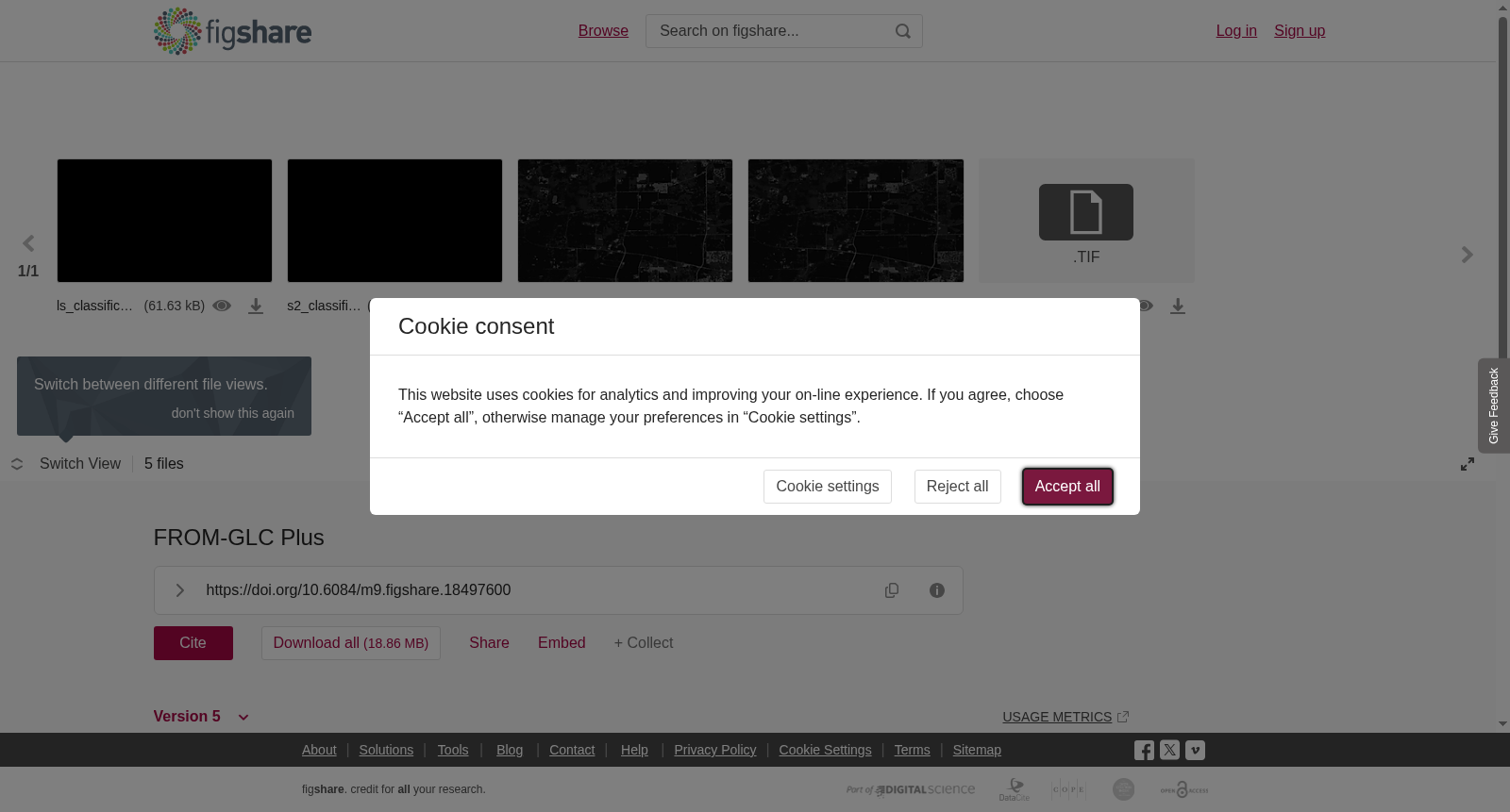
Building on the earlier Global Land Cover Mapping (Finer Resolution Observation and Monitoring - Global Land Cover, FROM-GLC), we developed the improved Global Land Cover Change Monitoring Platform (FROM-GLC Plus) using methods such as multi-season sample space-time migration, multi-source data time series reconstruction, and machine learning. The FROM-GLC Plus system provides a capacity for producing global land cover change data set from the 1980s with flexibility in spatio–temporal details. The preliminary results of multi-resolution land cover maps in Chicago, U. S. is given here.<br>Values in the files: 10-cropland20-forest30-grassland40-shrubland50-wetland60-water70-tundra80-impervious90-bare land100-ice/snow120-clouds
本研究基于早期的全球地表覆盖制图(精细分辨率观测与监测-全球地表覆盖,FROM-GLC),采用多季相样本时空迁移、多源数据时间序列重构及机器学习等方法,开发了改进型全球地表覆盖变化监测平台(FROM-GLC Plus)。该平台可生成20世纪80年代以来的全球地表覆盖变化数据集,并支持灵活调控时空细节精度。本文提供了美国芝加哥地区多分辨率地表覆盖图的初步研究成果。文件中的编码规则如下:10对应耕地、20对应林地、30对应草地、40对应灌丛、50对应湿地、60对应水体、70对应苔原、80对应不透水面、90对应裸地、100对应冰/雪、120对应云。
提供机构:
figshare
创建时间:
2022-01-16
搜集汇总
数据集介绍
背景与挑战
背景概述
FROM-GLC Plus是一个改进的全球土地覆盖变化监测平台数据集,采用多季节样本时空迁移和机器学习等方法,提供从1980年代开始的全球土地覆盖变化数据,包含10种土地覆盖类型的分类信息。
以上内容由遇见数据集搜集并总结生成


