
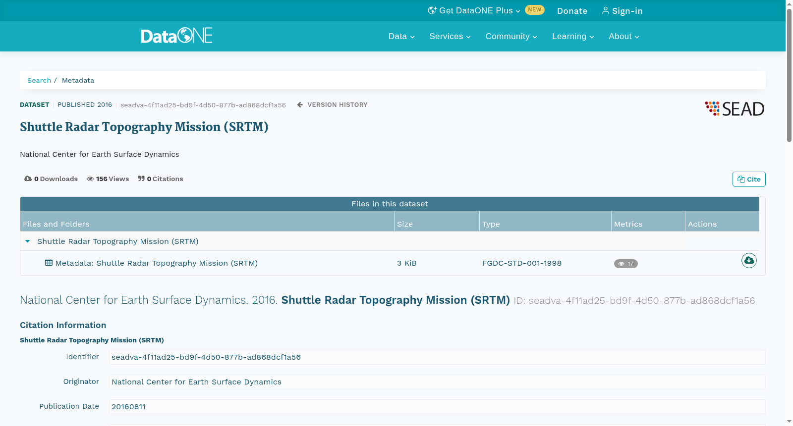
Shuttle Radar Topography Mission (SRTM)
收藏DataONE2016-08-11 更新2024-06-26 收录
下载链接:
https://search.dataone.org/view/seadva-4f11ad25-bd9f-4d50-877b-ad868dcf1a56
下载链接
链接失效反馈官方服务:
资源简介:
This is the SRTM dataset. The Shuttle Radar Topography Mission (SRTM) obtained elevation data on a near-global scale to generate the most complete high-resolution digital topographic database of Earth. SRTM consisted of a specially modified radar system that flew onboard the Space Shuttle Endeavour during an 11-day mission in February of 2000.
SRTM is an international project spearheaded by the National Geospatial-Intelligence Agency (NGA) and the National Aeronautics and Space Administration (NASA).
---
Obtained on 5/30/2007 from:
30m US:
ftp://e0srp01u.ecs.nasa.gov/srtm/version1/United_States_1arcsec/1arcsec/
90m World:
ftp://e0srp01u.ecs.nasa.gov/srtm/version2
本数据集为航天飞机雷达地形测绘任务(Shuttle Radar Topography Mission,SRTM)数据集。该任务以近乎全球范围获取高程数据,以此构建了迄今最完整的高分辨率地球数字地形数据库。SRTM由一套经过特殊改装的雷达系统组成,该系统于2000年2月搭载奋进号航天飞机执行了为期11天的测绘任务。
SRTM是由美国国家地理空间情报局(National Geospatial-Intelligence Agency,NGA)与美国国家航空航天局(National Aeronautics and Space Administration,NASA)牵头开展的国际合作项目。
---
本数据集于2007年5月30日获取自以下地址:
30米分辨率(美国区域):
ftp://e0srp01u.ecs.nasa.gov/srtm/version1/United_States_1arcsec/1arcsec/
90米分辨率(全球区域):
ftp://e0srp01u.ecs.nasa.gov/srtm/version2
创建时间:
2016-08-12
搜集汇总
数据集介绍
以上内容由遇见数据集搜集并总结生成



