海南岛高分一号卫星WFV几何精校正产品数据集
收藏资源简介:
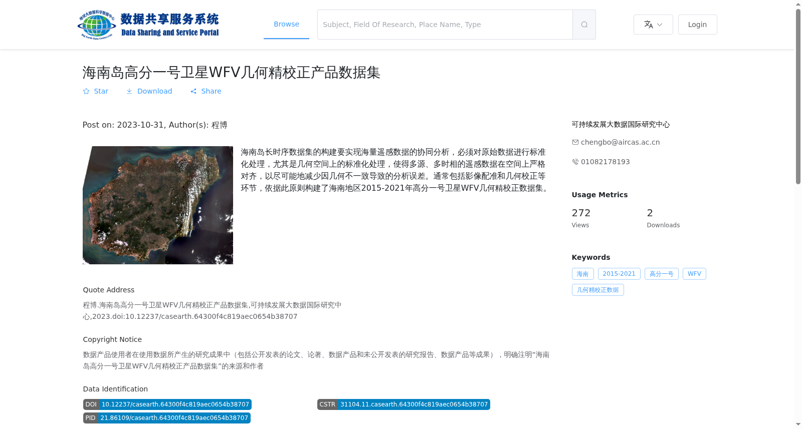
海南岛长时序数据集的构建要实现海量遥感数据的协同分析,必须对原始数据进行标准化处理,尤其是几何空间上的标准化处理,使得多源、多时相的遥感数据在空间上严格对齐,以尽可能地减少因几何不一致导致的分析误差。通常包括影像配准和几何校正等环节,依据此原则构建了海南地区2015-2021年高分一号卫星WFV几何精校正数据集。
To facilitate collaborative analysis of massive remote sensing data when developing a long time-series dataset over Hainan Island, standardization processing must be applied to the original data, particularly geospatial standardization, to achieve strict spatial alignment of multi-source and multi-temporal remote sensing data, thereby minimizing analytical errors induced by geometric inconsistencies. This standardization workflow generally encompasses procedures such as image registration and geometric correction. Guided by this principle, a geometrically refined correction dataset covering the Hainan region was constructed using data from the Gaofen-1 satellite WFV sensor spanning the years 2015 to 2021.