第三极地区湖泊水储量
收藏国家青藏高原科学数据中心2023-03-01 更新2024-03-06 收录
下载链接:
https://data.tpdc.ac.cn/zh-hans/data/d53494fb-6e5b-428a-8bba-2a425726de6f
下载链接
链接失效反馈官方服务:
资源简介:
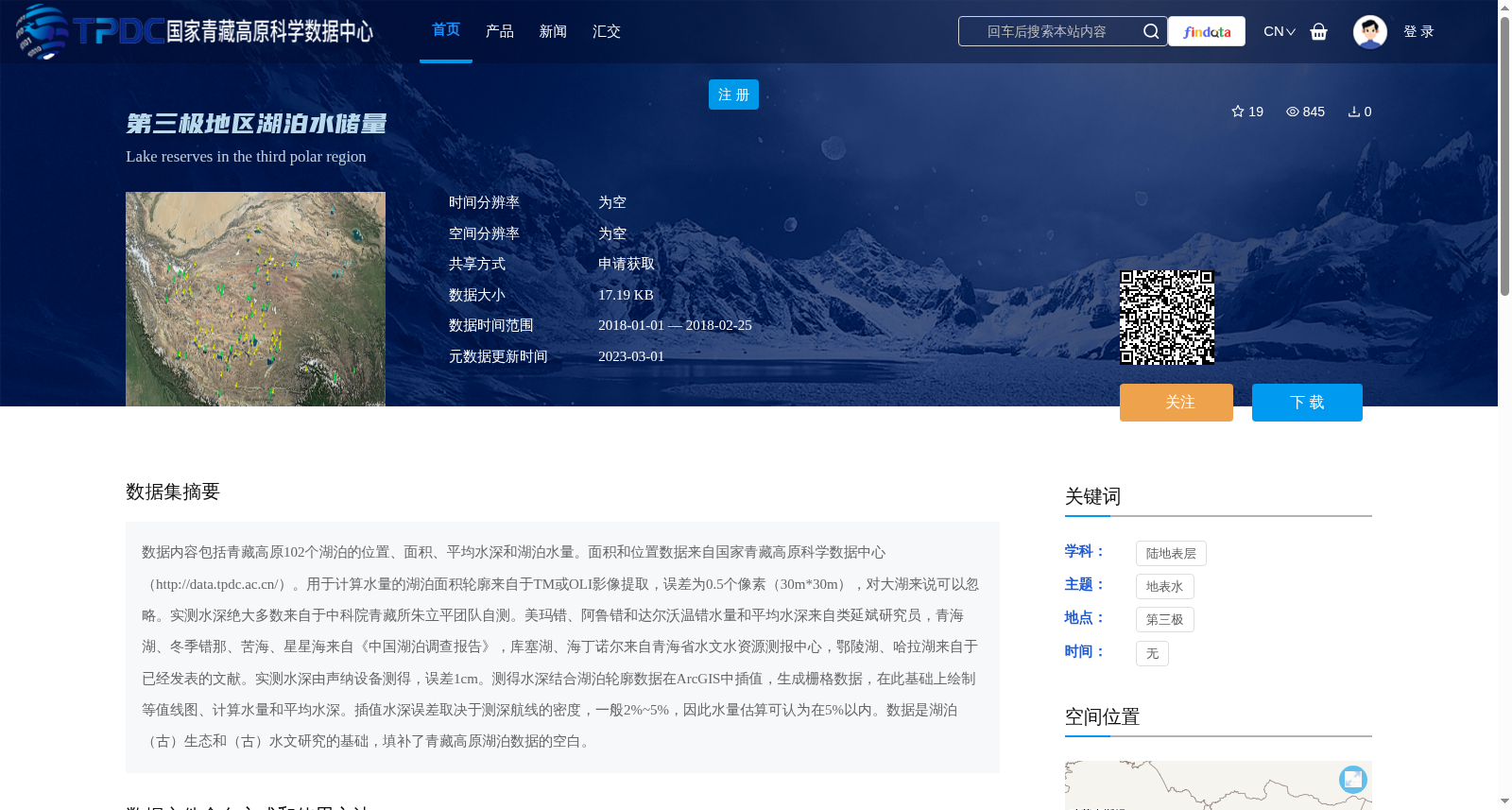
数据内容包括青藏高原102个湖泊的位置、面积、平均水深和湖泊水量。面积和位置数据来自国家青藏高原科学数据中心(http://data.tpdc.ac.cn/)。用于计算水量的湖泊面积轮廓来自于TM或OLI影像提取,误差为0.5个像素(30m*30m),对大湖来说可以忽略。实测水深绝大多数来自于中科院青藏所朱立平团队自测。美玛错、阿鲁错和达尔沃温错水量和平均水深来自类延斌研究员,青海湖、冬季错那、苦海、星星海来自《中国湖泊调查报告》,库塞湖、海丁诺尔来自青海省水文水资源测报中心,鄂陵湖、哈拉湖来自于已经发表的文献。实测水深由声纳设备测得,误差1cm。测得水深结合湖泊轮廓数据在ArcGIS中插值,生成栅格数据,在此基础上绘制等值线图、计算水量和平均水深。插值水深误差取决于测深航线的密度,一般2%~5%,因此水量估算可认为在5%以内。数据是湖泊(古)生态和(古)水文研究的基础,填补了青藏高原湖泊数据的空白。
The dataset contains the locations, areas, average water depths and water storage volumes of 102 lakes on the Tibetan Plateau. The location and area data were sourced from the National Tibetan Plateau Data Center (NTPDC, http://data.tpdc.ac.cn/). Lake area outlines used for water storage volume calculation were extracted from TM or OLI satellite imagery, with an error of 0.5 pixels (30 m × 30 m), which is negligible for large lakes. Most of the in-situ measured water depths were collected by the team led by Prof. Zhu Liping from the Institute of Tibetan Plateau Research, Chinese Academy of Sciences (ITPCAS). Water storage volumes and average water depths of Maima Co, Aru Co and Da'erwowen Co were provided by Prof. Lei Yanbin. Data for Qinghai Lake, Dongji Co'na, Kunhai, Xingxinghai were sourced from *Report on Chinese Lakes*. Data for Kusai Lake and Haidingnuoer Lake were obtained from the Qinghai Provincial Hydrology and Water Resources Survey Center. Data for Eling Lake and Hala Lake were retrieved from published literature. The in-situ measured water depths were collected using sonar equipment, with an error of 1 cm. The measured water depths were combined with lake outline data for spatial interpolation in ArcGIS to generate raster datasets. Based on these raster data, contour maps were plotted, and water storage volumes and average water depths were calculated. The error of interpolated water depths depends on the density of bathymetric survey lines, generally ranging from 2% to 5%. Thus, the estimation error of water storage volumes is considered to be within 5%. This dataset serves as a fundamental resource for lacustrine (paleo-)ecological and (paleo-)hydrological research, and fills the data gap of lake datasets on the Tibetan Plateau.
提供机构:
朱立平,鞠建廷
创建时间:
2023-02-07
搜集汇总
数据集介绍
背景与挑战
背景概述
该数据集提供了2018年第三极地区(主要是青藏高原)102个湖泊的水储量信息,包括位置、面积、平均水深和水量,数据基于遥感影像和实测水深结合ArcGIS插值生成,水量估算误差在5%以内。它填补了青藏高原湖泊数据的空白,为湖泊生态和水文研究提供了基础支持。
以上内容由遇见数据集搜集并总结生成


