青藏科考区历史溪河洪水分布(1845-2019)
收藏国家青藏高原科学数据中心2021-04-19 更新2024-03-06 收录
下载链接:
https://data.tpdc.ac.cn/zh-hans/data/845a956c-f096-435c-9146-0ecbe0ba2124
下载链接
链接失效反馈官方服务:
资源简介:
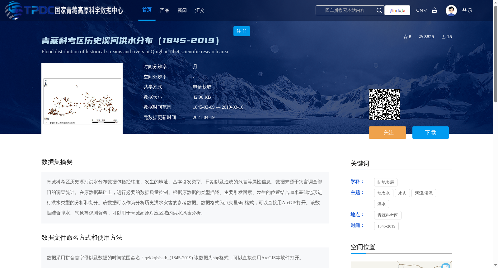
青藏科考区历史溪河洪水分布数据包括经纬度、发生的地址、基本引发类型、日期以及造成的危害等属性信息。数据来源于灾害调查部门的调查统计。在原数据基础上,进行必要的数据质量控制。根据原数据的类型描述、主要引发因素、发生的位置结合30米基础地形进行洪水类型的分析和划分。该数据可以作为分析历史洪水灾害的参考数据。数据格式为点矢量shp格式,可以直接用ArcGIS打开。该数据结合降水、气象等观测资料,可以用于青藏高原对应区域的洪水风险分析。
Historical River and Stream Flood Distribution Data of the Qinghai-Tibet Plateau Scientific Expedition Area contains attribute information including longitude and latitude, occurrence locations, basic triggering types, occurrence dates, disaster-caused hazards and other relevant attributes. This dataset is sourced from survey and statistics conducted by disaster investigation authorities. Necessary data quality control was performed based on the original dataset. Flood type analysis and classification were carried out by integrating the original data's type descriptions, main triggering factors, occurrence locations and 30-meter basic topographic data. This dataset can serve as reference data for historical flood disaster analysis. The data is in point vector shp format and can be directly opened with ArcGIS. Combined with observation data such as precipitation and meteorological observations, this dataset can be applied to flood risk analysis in corresponding regions of the Qinghai-Tibet Plateau.
提供机构:
王中根
创建时间:
2021-01-28
搜集汇总
数据集介绍
背景与挑战
背景概述
该数据集记录了青藏科考区1845年至2019年间的历史溪河洪水分布情况,包含经纬度、发生地址、引发类型、日期及危害等属性信息,数据格式为点矢量shp格式,适用于洪水风险分析。
以上内容由遇见数据集搜集并总结生成


