长江源园区曲麻莱高寒草甸样方正射影像与DSM数据(2018)
收藏国家青藏高原科学数据中心2019-11-18 更新2024-03-01 收录
下载链接:
https://data.tpdc.ac.cn/zh-hans/data/f4567cca-ab0e-44f0-8469-70d3efefef72
下载链接
链接失效反馈官方服务:
资源简介:
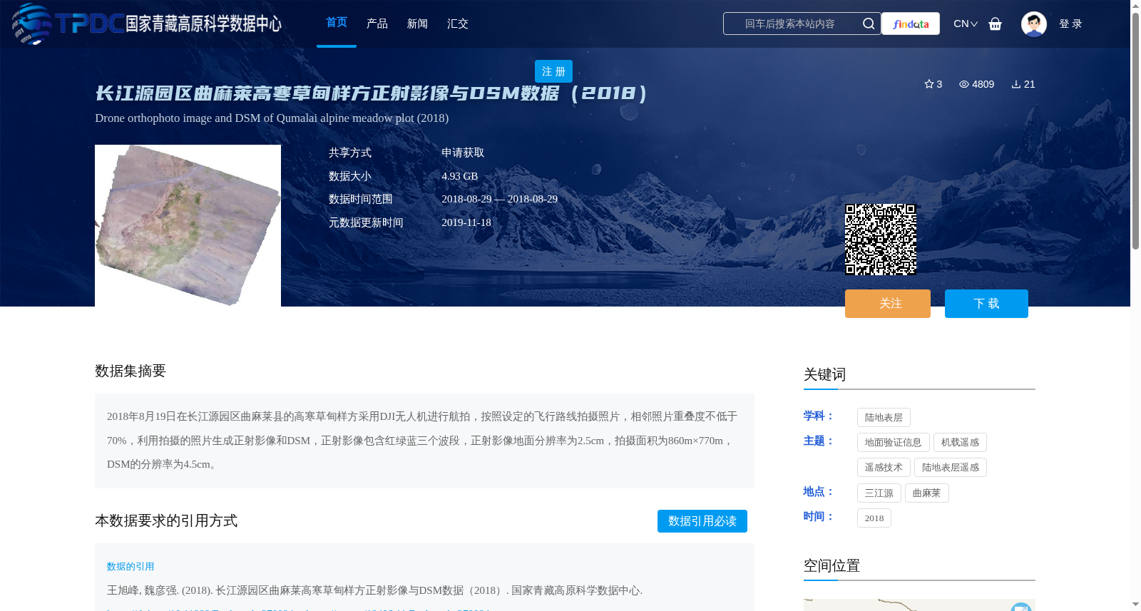
2018年8月19日在长江源园区曲麻莱县的高寒草甸样方采用DJI无人机进行航拍,按照设定的飞行路线拍摄照片,相邻照片重叠度不低于70%,利用拍摄的照片生成正射影像和DSM,正射影像包含红绿蓝三个波段,正射影像地面分辨率为2.5cm,拍摄面积为860m×770m,DSM的分辨率为4.5cm。
On August 19, 2018, aerial photography was conducted using a DJI unmanned aerial vehicle (UAV) at an alpine meadow quadrat in Qumalai County, Yangtze River Source Park. Photos were taken along a pre-set flight route, with the overlap between adjacent photos not less than 70%. Orthomosaics and Digital Surface Models (DSM) were generated from the captured images. The orthomosaics include three bands of red, green and blue (RGB), with a ground resolution of 2.5 cm. The photographed area is 860 m × 770 m, and the DSM has a resolution of 4.5 cm.
提供机构:
王旭峰,魏彦强
创建时间:
2018-11-19
搜集汇总
数据集介绍
背景与挑战
背景概述
该数据集包含2018年8月29日在长江源园区曲麻莱县高寒草甸样方采集的无人机正射影像和数字表面模型(DSM)。正射影像具有红绿蓝三个波段,地面分辨率为2.5cm,覆盖面积860m×770m;DSM分辨率为4.5cm,数据总大小为4.93 GB。数据通过申请获取,适用于陆地表层遥感研究,支持三江源国家公园生态监测项目。
以上内容由遇见数据集搜集并总结生成


