Remote sensing monitoring data set of main crop planting distribution in Sanjiang Plain from 2020 to 2022
收藏资源简介:
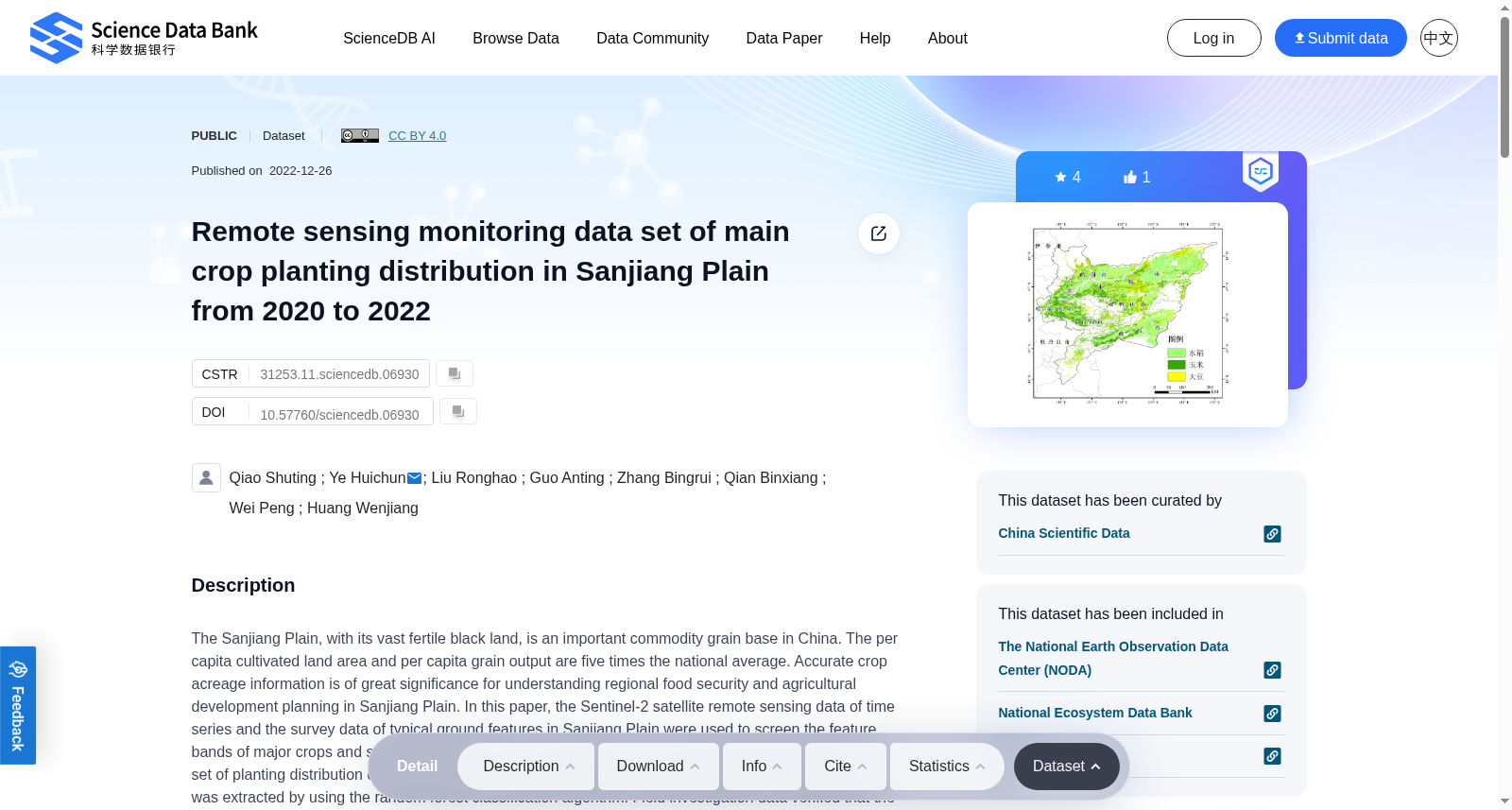
The Sanjiang Plain, with its vast fertile black land, is an important commodity grain base in China. The per capita cultivated land area and per capita grain output are five times the national average. Accurate crop acreage information is of great significance for understanding regional food security and agricultural development planning in Sanjiang Plain. In this paper, the Sentinel-2 satellite remote sensing data of time series and the survey data of typical ground features in Sanjiang Plain were used to screen the feature bands of major crops and surrounding typical ground features, and the remote sensing monitoring data set of planting distribution of major crops (rice, corn and soybean) in Sanjiang Plain from 2020 to 2022 was extracted by using the random forest classification algorithm. Field investigation data verified that the overall accuracy of the three crops extraction in 2020, 2021 and 2022 were 95.18%, 95.0% and 94.5%, respectively, and the Kappa coefficients were 0.924, 0.925 and 0.919. This data set can not only be used as the basic data for the analysis of temporal and spatial changes of crop planting pattern in the Sanjiang Plain, but also provide information support for agricultural production management decision-making in the Sanjiang Plain, and serve the regional agricultural informatization construction and the protection and utilization of black land.
三江平原拥有广袤肥沃的黑土地,是中国重要的商品粮基地。其人均耕地面积与人均粮食产量均为全国平均水平的五倍。准确获取作物种植面积信息,对于掌握三江平原区域粮食安全状况与开展农业发展规划具有重要意义。本文利用时序哨兵-2(Sentinel-2)卫星遥感数据与三江平原典型地物野外调查数据,筛选主要作物及周边典型地物的特征波段,并通过随机森林分类算法提取得到2020-2022年三江平原主要作物(水稻、玉米、大豆)种植分布遥感监测数据集。经野外调查数据验证,2020、2021、2022年三类作物提取结果的总体精度分别为95.18%、95.0%与94.5%,对应的Kappa系数(Kappa Coefficient)分别为0.924、0.925与0.919。该数据集既可作为三江平原作物种植格局时空变化分析的基础数据,也可为三江平原农业生产管理决策提供信息支撑,服务于区域农业信息化建设与黑土地保护利用。