黄河上游流域边界图(2012)
收藏国家青藏高原科学数据中心2020-06-05 更新2024-03-06 收录
下载链接:
https://data.tpdc.ac.cn/zh-hans/data/9056beca-74c5-4660-baf4-76b85f4332ab
下载链接
链接失效反馈官方服务:
资源简介:
一、概述
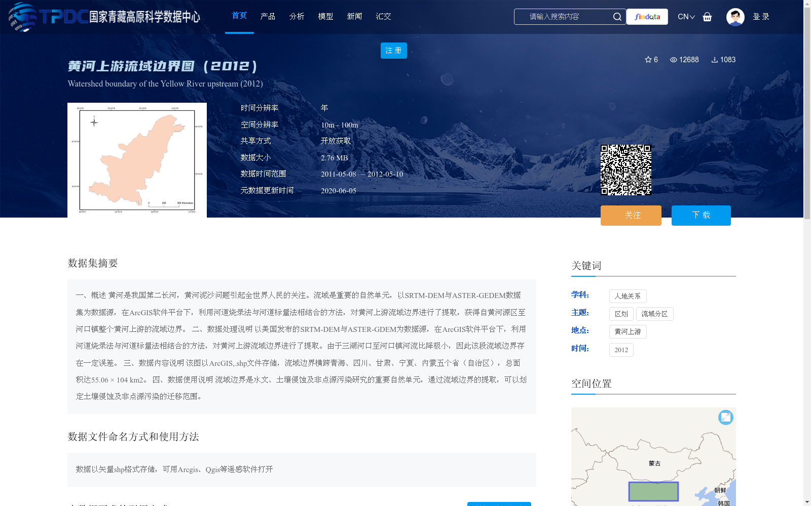
黄河是我国第二长河,黄河泥沙问题引起全世界人民的关注。流域是重要的自然单元,以SRTM-DEM与ASTER-GEDEM数据集为数据源,在ArcGIS软件平台下,利用河道烧录法与河道标量法相结合的方法,对黄河上游流域边界进行了提取,获得自黄河源区至河口镇整个黄河上游的流域边界。
二、数据处理说明
以美国发布的SRTM-DEM与ASTER-GDEM为数据源,在ArcGIS软件平台下,利用河道烧录法与河道标量法相结合的方法,对黄河上游流域边界进行了提取。由于三湖河口至河口镇河流比降极小,因此该段流域边界存在一定误差。
三、数据内容说明
该图以ArcGIS,.shp文件存储,流域边界横跨青海、四川、甘肃、宁夏、内蒙五个省(自治区),总面积达55.06 × 10⁴ km2。
四、数据使用说明
流域边界是水文、土壤侵蚀及非点源污染研究的重要自然单元,通过流域边界的提取,可以划定土壤侵蚀及非点源污染的迁移范围。
1. Overview
The Yellow River is the second-longest river in China, and its sediment issues have attracted global attention. Watersheds are important natural units. Taking the SRTM-DEM and ASTER-GDEM datasets as data sources, this study extracted the upstream watershed boundary of the Yellow River using a combination of the channel burning method and the channel scalar method on the ArcGIS software platform, obtaining the entire upstream watershed boundary from the source region of the Yellow River to Hekou Town.
2. Data Processing Instructions
Taking the SRTM-DEM and ASTER-GDEM released by the United States as data sources, the upstream watershed boundary of the Yellow River was extracted using a combination of the channel burning method and the channel scalar method on the ArcGIS software platform. Due to the extremely small river gradient from Sanhu Hekou to Hekou Town, there are certain errors in the watershed boundary of this section.
3. Data Content Description
This dataset is stored as an ArcGIS .shp file. The watershed boundary spans five provinces and autonomous regions: Qinghai, Sichuan, Gansu, Ningxia Hui Autonomous Region, and Inner Mongolia Autonomous Region, with a total area of 55.06 × 10^4 km².
4. Data Usage Instructions
Watershed boundaries are important natural units for hydrology, soil erosion, and non-point source pollution research. Extracting watershed boundaries allows the delineation of the migration scope of soil erosion and non-point source pollution.
提供机构:
薛娴,杜鹤强
创建时间:
2015-05-20
搜集汇总
数据集介绍
背景与挑战
背景概述
该数据集是基于SRTM-DEM与ASTER-GDEM数据源,在ArcGIS软件平台下利用河道烧录法与河道标量法提取的黄河上游流域边界图,覆盖青海、四川、甘肃、宁夏、内蒙五个省(自治区),总面积约55.06万平方公里。数据以矢量shp格式存储,空间分辨率在10米至100米之间,适用于水文、土壤侵蚀及非点源污染等研究,但需注意三湖河口至河口镇段因河流比降极小可能存在一定误差。
以上内容由遇见数据集搜集并总结生成


