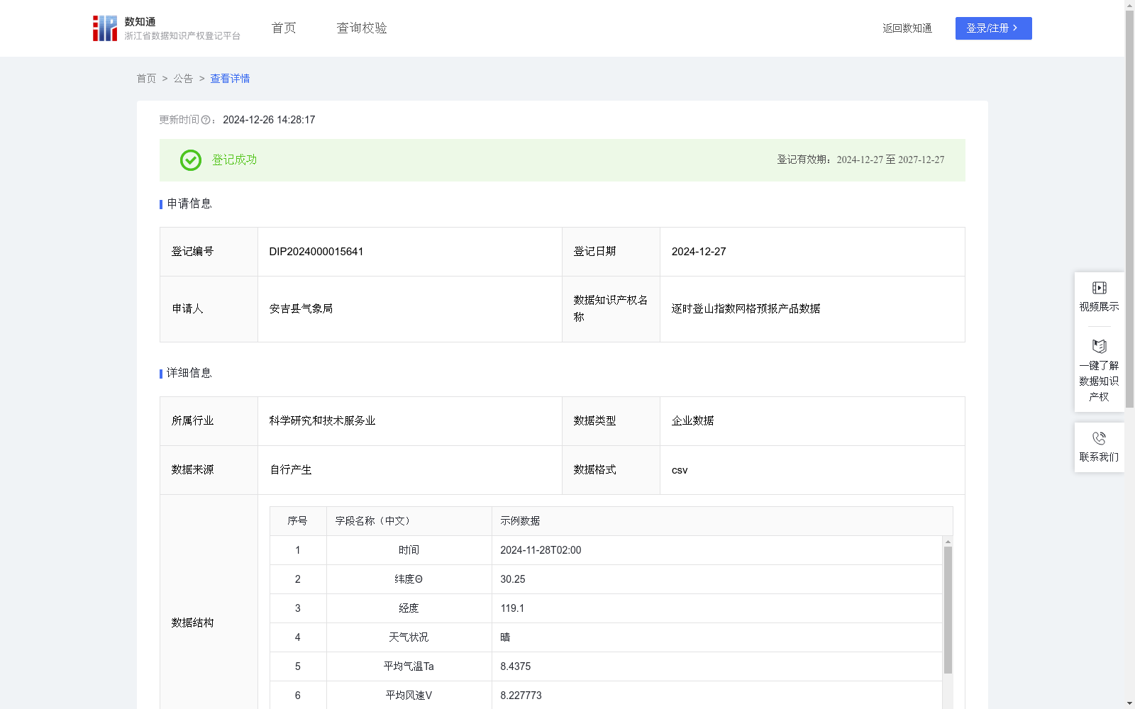
逐时登山指数网格预报产品数据
收藏浙江省数据知识产权登记平台2024-12-26 更新2024-12-27 收录
下载链接:
https://www.zjip.org.cn/home/announce/trends/108630
下载链接
链接失效反馈官方服务:
资源简介:
提供的未来3天逐3、6、12小时登山指数数据,覆盖安吉的72个网格格点,每天两次滚动发布。这些数据基于精细化的网格预报技术,能够为用户提供基于位置的高分辨率登山指数信息。用户调用后可根据实际位置匹配最近网格等方法直接使用。这些数据为登山活动提供了全面的气象信息和决策支持,增强了登山旅游的安全性、舒适性和可持续性。自动提取安吉范围智能网格逐3、6、12小时客观预报产品,建立气象要素与登山指数的统计关系,结合登山指数算法和规则本地化后自动生成逐3、6、12小时登山指数智能网格客观预报产品。选取天气状况、体感温度、空气清新度、空气质量指数AQI、紫外线、气象灾害构建登山气象指数,将各气象因子按对登山的影响程度进行分级,以其中影响等级最高值作为登山气象指数。其中体感温度计算方法如下:体感温度Tg=Ta+A{exp[0.05(Ta-Ts)(R-Rs)]-1}-0.03(Ta-Ts)V,当Ta≥Ts;体感温度Tg=Ta+A{exp[0.013(Ts-Ta)(R-Rs)]-1}-0.01(Ts-Ta)V,当Ta<Ts。人体最佳舒适温度Ts=22.7[1-0.3sin(Θ-23.5°)]-∣0.3cos[15°(M-1)]∣-2tan(H/100)°)式中,系数A取值为14;Ta为平均气温;V为平均风速;R为相对湿度;Rs为最适相对湿度,无降水时取值0.5,有降水时取值0.618;Ts为人体最佳舒适温度;Θ为纬度;M为月份;H为海拔高度。
This dataset provides 3-hour, 6-hour, and 12-hour interval mountain climbing index data for the next three days, covering 72 grid points across Anji County, with rolling updates twice daily.
Based on fine-grained grid numerical forecasting technology, this dataset can provide users with location-aware high-resolution mountain climbing index data. Users can directly access the data after retrieval by matching the nearest grid point based on their actual location, among other applicable methods.
This dataset offers comprehensive meteorological information and decision support for mountaineering activities, enhancing the safety, comfort, and sustainability of mountain tourism.
The dataset generation workflow is as follows: automatically extract 3-hour, 6-hour, and 12-hour interval objective forecast products of intelligent grids within the Anji scope, establish the statistical correlation between meteorological factors and mountain climbing indices, and automatically generate 3-hour, 6-hour, and 12-hour interval objective forecast products of intelligent grid mountain climbing indices after integrating the localization of mountain climbing index algorithms and domain rules.
The mountain climbing meteorological index is constructed by selecting seven meteorological factors: weather conditions, apparent temperature, air freshness, Air Quality Index (AQI), ultraviolet (UV) radiation, and meteorological disasters. Each factor is classified based on its impact severity on mountaineering, and the highest impact level among all factors is taken as the final mountain climbing meteorological index.
The calculation method for apparent temperature $T_g$ is as follows:
When $T_a geq T_s$: $T_g = T_a + Aleft{expleft[0.05(T_a-T_s)(R-R_s)
ight] - 1
ight} - 0.03(T_a-T_s)V$
When $T_a < T_s$: $T_g = T_a + Aleft{expleft[0.013(T_s-T_a)(R-R_s)
ight] - 1
ight} - 0.01(T_s-T_a)V$
The optimal human comfort temperature $T_s$ is calculated as:
$T_s = 22.7left[1 - 0.3sin(Theta - 23.5^circ)
ight] - left|0.3cosleft[15^circ(M - 1)
ight]
ight| - 2 anleft(frac{H}{100}
ight)^circ$
In the above formulas: the coefficient A is set to 14; $T_a$ denotes the average air temperature; $V$ denotes the average wind speed; $R$ denotes the relative humidity; $R_s$ denotes the optimal relative humidity, with a value of 0.5 when there is no precipitation, and 0.618 when precipitation occurs; $T_s$ denotes the optimal human comfort temperature; $Theta$ denotes the latitude; $M$ denotes the calendar month; $H$ denotes the altitude.
提供机构:
安吉县气象局
创建时间:
2024-11-14
搜集汇总
数据集介绍
特点
逐时登山指数网格预报产品数据是由安吉县气象局提供的企业数据,每日更新,包含5169条记录。该数据集提供了未来3天逐3、6、12小时的登山指数预报,覆盖安吉的72个网格格点,适用于登山活动的气象信息支持和决策制定。
以上内容由遇见数据集搜集并总结生成


