2020年3个典型区域无人机倾斜相机摄影影像数据集
收藏地球大数据科学工程2024-05-26 收录
下载链接:
https://data.casearth.cn/sdo/detail/6538b815819aec0f26269c7b
下载链接
链接失效反馈官方服务:
资源简介:
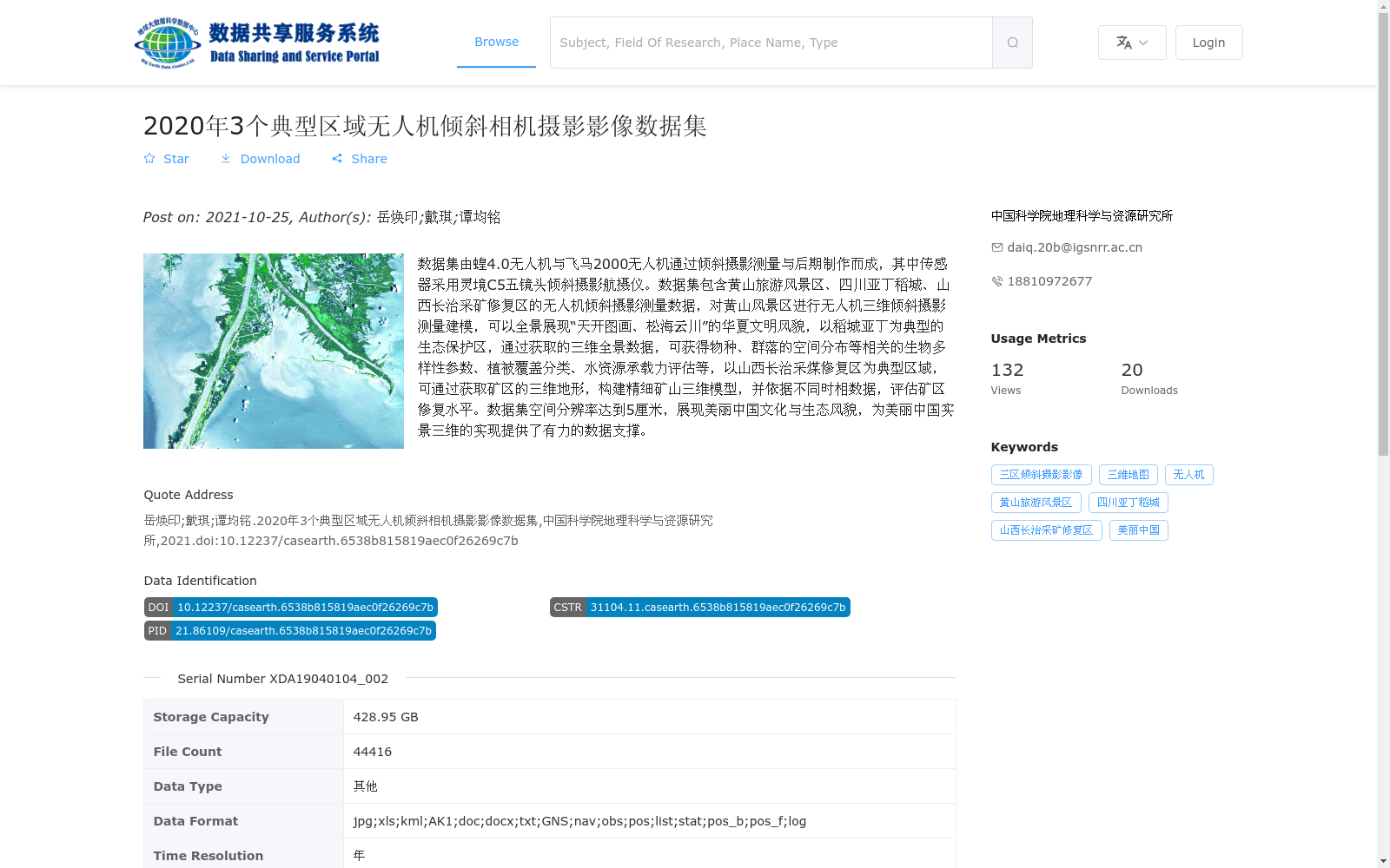
数据集由蝗4.0无人机与飞马2000无人机通过倾斜摄影测量与后期制作而成,其中传感器采用灵境C5五镜头倾斜摄影航摄仪。数据集包含黄山旅游风景区、四川亚丁稻城、山西长治采矿修复区的无人机倾斜摄影测量数据,对黄山风景区进行无人机三维倾斜摄影测量建模,可以全景展现“天开图画、松海云川”的华夏文明风貌,以稻城亚丁为典型的生态保护区,通过获取的三维全景数据,可获得物种、群落的空间分布等相关的生物多样性参数、植被覆盖分类、水资源承载力评估等,以山西长治采煤修复区为典型区域,可通过获取矿区的三维地形,构建精细矿山三维模型,并依据不同时相数据,评估矿区修复水平。数据集空间分辨率达到5厘米,展现美丽中国文化与生态风貌,为美丽中国实景三维的实现提供了有力的数据支撑。
This dataset is generated by Huang 4.0 UAV and Pegasus 2000 UAV through oblique photogrammetry and post-processing, with the Lingjing C5 five-lens oblique photogrammetric aerial camera adopted as the onboard sensor. The dataset contains UAV-based oblique photogrammetry data from three regions: Huangshan Tourist Scenic Area, Yading Daocheng in Sichuan Province, and Changzhi Mining Restoration Area in Shanxi Province. Conducting 3D oblique photogrammetric modeling for Huangshan Scenic Area via UAV can fully showcase the charm of Chinese civilization embodied in the classic landscape description of "Nature's masterpiece, pine forests, sea of clouds and mountain valleys". Taking Yading Daocheng as a typical ecological reserve, the acquired 3D panoramic data can be used to obtain biodiversity-related parameters such as spatial distribution of species and communities, vegetation cover classification, and water resource carrying capacity assessment. Taking the Changzhi Coal Mining Restoration Area in Shanxi as a typical study area, the acquired 3D terrain data of the mining area can be used to construct a refined 3D mine model, and evaluate the restoration level of the mining area based on multi-temporal data. The dataset has a spatial resolution of 5 cm, showcasing the cultural and ecological landscape of Beautiful China, and providing strong data support for the realization of real-scene 3D construction of Beautiful China.
提供机构:
中国科学院地理科学与资源研究所
搜集汇总
数据集介绍
背景与挑战
背景概述
该数据集是2020年采集的无人机倾斜摄影影像数据,覆盖黄山旅游风景区、四川亚丁稻城和山西长治采矿修复区三个典型区域,空间分辨率高达5厘米。数据通过蝗4.0和飞马2000无人机配合五镜头倾斜摄影航摄仪获取,主要用于三维建模、生态保护和矿区修复评估,为'美丽中国'实景三维建设提供高精度数据支持。
以上内容由遇见数据集搜集并总结生成


