Mangrove Dynamics in China (MDC): Accurate and Annual Distribution Maps from 1990 to 2020
收藏资源简介:
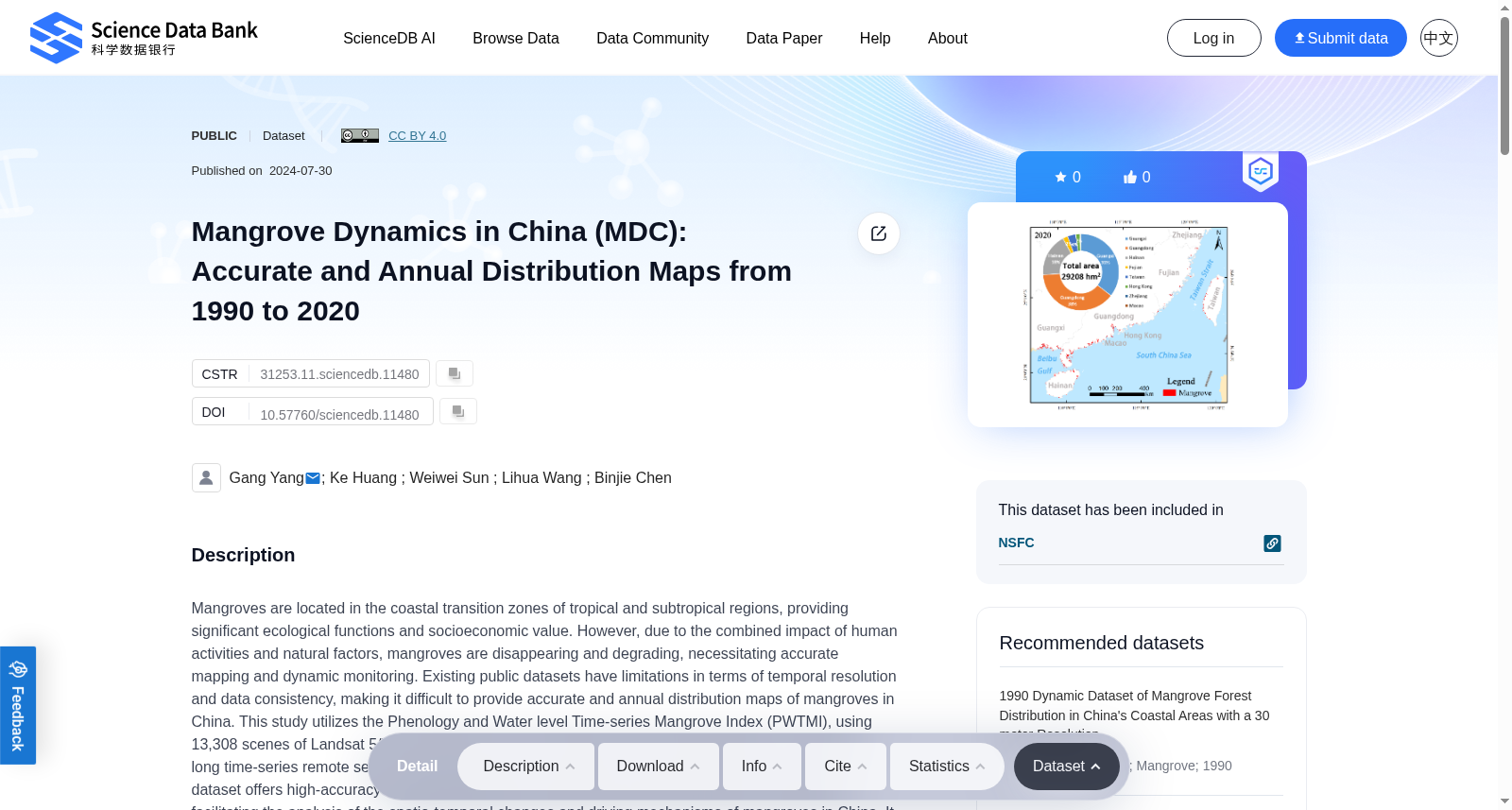
Mangroves are located in the coastal transition zones of tropical and subtropical regions, providing significant ecological functions and socioeconomic value. However, due to the combined impact of human activities and natural factors, mangroves are disappearing and degrading, necessitating accurate mapping and dynamic monitoring. Existing public datasets have limitations in terms of temporal resolution and data consistency, making it difficult to provide accurate and annual distribution maps of mangroves in China. This study utilizes the Phenology and Water level Time-series Mangrove Index (PWTMI), using 13,308 scenes of Landsat 5/7/8 images based on Google Earth Engine (GEE) platform, to generate a long time-series remote sensing monitoring dataset of mangroves in China from 1990 to 2020. This dataset offers high-accuracy spatial distribution and continuous change information for mangroves, facilitating the analysis of the spatio-temporal changes and driving mechanisms of mangroves in China. It holds significant importance for the conservation and management of mangroves.
红树林(Mangroves)分布于热带与亚热带地区的沿海过渡带,具备重要的生态服务功能与社会经济价值。然而,受人类活动与自然因素的共同影响,红树林正持续消失并发生退化,因此亟需开展精准的红树林制图与动态监测工作。现有公开数据集在时间分辨率与数据一致性层面存在局限,难以生成中国区域高精度且逐年更新的红树林分布图谱。本研究依托谷歌地球引擎(Google Earth Engine, GEE)平台,基于13308景陆地卫星5/7/8号影像,结合物候与水位时序红树林指数(Phenology and Water level Time-series Mangrove Index, PWTMI),构建了1990年至2020年中国红树林长时序遥感监测数据集。该数据集提供了高精度的红树林空间分布信息与连续变化特征数据,可为中国红树林的时空演变规律及其驱动机制研究提供支撑,对于红树林的保护与管理工作具有重要意义。