青藏高原耕地格局图(1980-2018)
收藏国家青藏高原科学数据中心2025-03-14 更新2025-04-19 收录
下载链接:
https://data.tpdc.ac.cn/zh-hans/data/d3bbd04b-33eb-4a78-a6d5-2d340e8fbd01
下载链接
链接失效反馈官方服务:
资源简介:
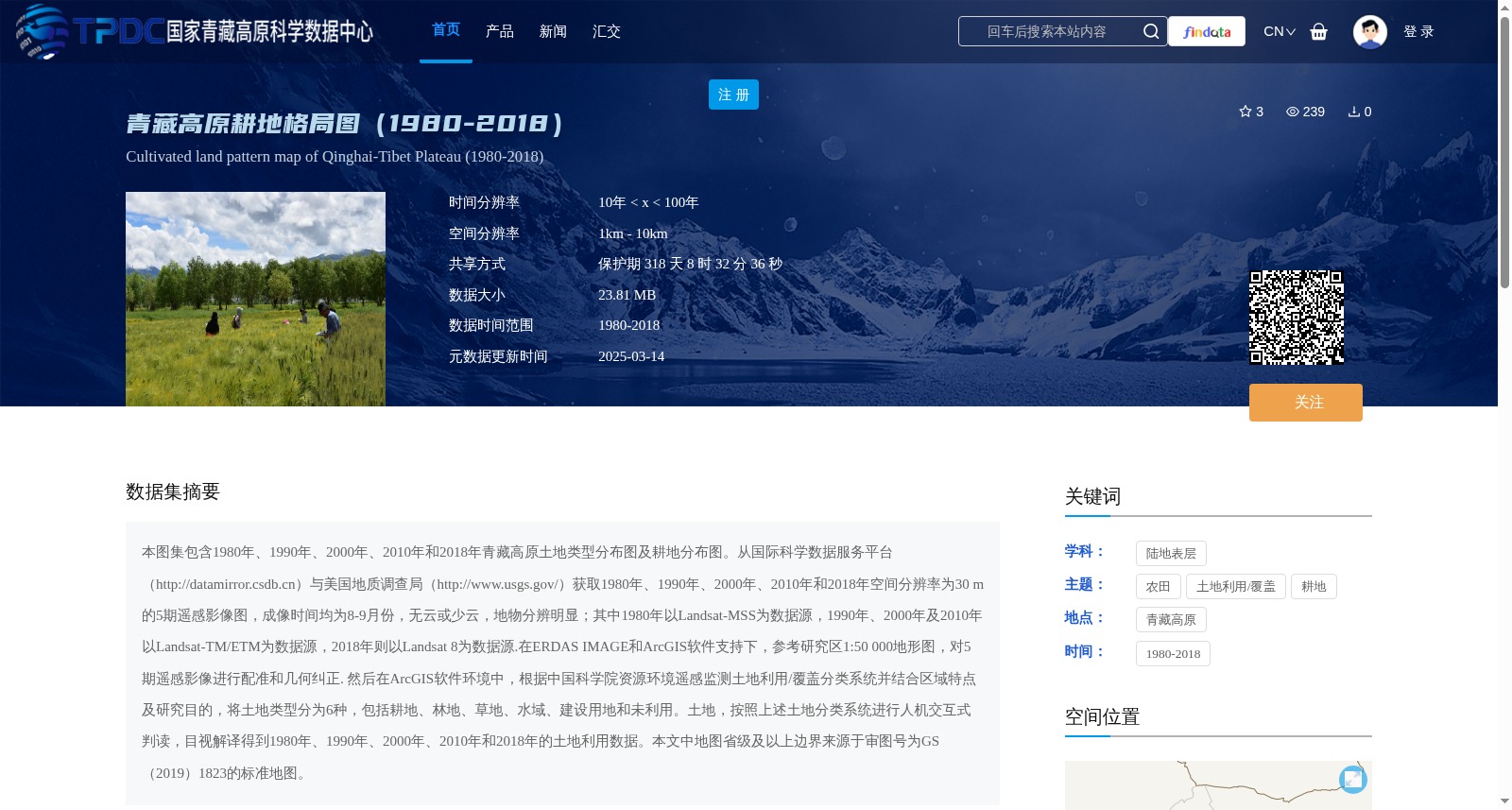
本图集包含1980年、1990年、2000年、2010年和2018年青藏高原土地类型分布图及耕地分布图。从国际科学数据服务平台(http://datamirror.csdb.cn)与美国地质调查局(http://www.usgs.gov/)获取1980年、1990年、2000年、2010年和2018年空间分辨率为30 m的5期遥感影像图,成像时间均为8-9月份,无云或少云,地物分辨明显;其中1980年以Landsat-MSS为数据源,1990年、2000年及2010年以Landsat-TM/ETM为数据源,2018年则以Landsat 8为数据源.在ERDAS IMAGE和ArcGIS软件支持下,参考研究区1:50 000地形图,对5期遥感影像进行配准和几何纠正. 然后在ArcGIS软件环境中,根据中国科学院资源环境遥感监测土地利用/覆盖分类系统并结合区域特点及研究目的,将土地类型分为6种,包括耕地、林地、草地、水域、建设用地和未利用。土地,按照上述土地分类系统进行人机交互式判读,目视解译得到1980年、1990年、2000年、2010年和2018年的土地利用数据。本文中地图省级及以上边界来源于审图号为GS(2019)1823的标准地图。
This atlas contains land type distribution maps and cropland distribution maps of the Qinghai-Tibet Plateau for the years 1980, 1990, 2000, 2010, and 2018. Five scenes of remote sensing images with 30 m spatial resolution for the years 1980, 1990, 2000, 2010, and 2018 were obtained from the International Scientific Data Service Platform (http://datamirror.csdb.cn) and the United States Geological Survey (http://www.usgs.gov/). All images were acquired from August to September, featuring no or minimal cloud cover and distinct ground feature recognition. Specifically, the 1980 dataset uses Landsat-MSS as the data source, while the datasets for 1990, 2000, and 2010 adopt Landsat-TM/ETM as the data source, and the 2018 dataset uses Landsat 8 as the data source. Supported by ERDAS IMAGE and ArcGIS software, the five scenes of remote sensing images were registered and geometrically corrected with reference to the 1:50,000 topographic maps of the study area. Subsequently, within the ArcGIS software environment, based on the Land Use/Cover Classification System for Remote Sensing Monitoring of Resources and Environment of the Chinese Academy of Sciences, combined with regional characteristics and research objectives, land types were divided into six categories: cropland, forestland, grassland, water area, construction land, and unused land. Human-computer interactive interpretation and visual interpretation were carried out according to the aforementioned land classification system to obtain land use data for 1980, 1990, 2000, 2010, and 2018. The provincial and higher-level map boundaries in this article are sourced from the standard map with the examination and approval number GS (2019) No. 1823.
提供机构:
王蕾
创建时间:
2025-02-25
搜集汇总
数据集介绍
背景与挑战
背景概述
该数据集提供了1980年至2018年间青藏高原的耕地格局图,包含五个时间点(1980、1990、2000、2010、2018)的土地类型和耕地分布数据,空间分辨率为1km-10km,时间分辨率为10年间隔。数据基于多源遥感影像(如Landsat系列)处理生成,土地类型分为耕地、林地、草地、水域、建设用地和未利用土地六类,适用于土地利用变化和耕地监测研究。
以上内容由遇见数据集搜集并总结生成


