
GOM simulation results for the Texas coasts
收藏Mendeley Data2024-01-31 更新2024-06-26 收录
下载链接:
https://data.mendeley.com/datasets/vmmyw7vmbd
下载链接
链接失效反馈官方服务:
资源简介:
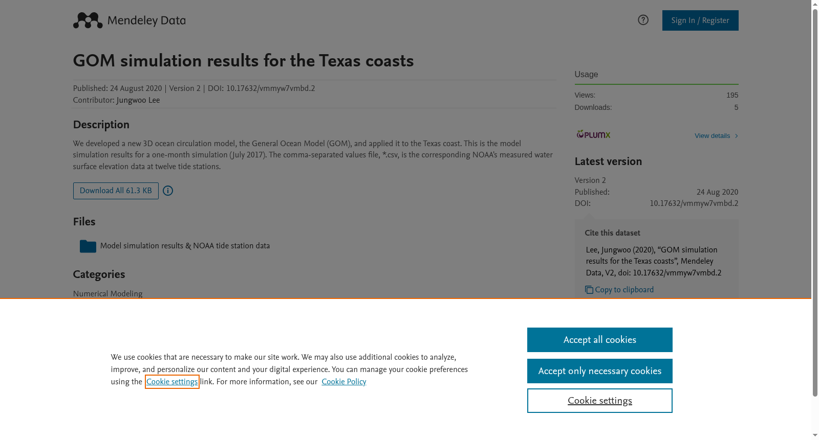
We developed a new 3D ocean circulation model, the General Ocean Model (GOM), and applied it to the Texas coast. This is the model simulation results for a one-month simulation (July 2017). The comma-separated values file, *.csv, is the corresponding NOAA's measured water surface elevation data at twelve tide stations.
创建时间:
2024-01-31
搜集汇总
数据集介绍
背景与挑战
背景概述
该数据集包含了一个名为GOM(General Ocean Model)的3D海洋环流模型在德克萨斯海岸的模拟结果,以及NOAA在12个潮汐站测量的水面高程数据。数据集模拟时间为2017年7月,文件格式为CSV,大小为61.3 KB,采用CC BY 4.0许可证。
以上内容由遇见数据集搜集并总结生成



