Marginal Ice Zone Sparse Expert-Labeled Dataset
收藏资源简介:
该数据集由英国南极调查局创建,是一个用于南极边缘冰区海冰分割的稀疏专家标注数据集。数据集包含2,088个像素级标注点(共7,046个专家分类),覆盖43个场景,来自Sentinel-1(SAR)和MODIS(可见光/热红外)多模态卫星影像,时间差限制在1小时以内。四位冰专家通过自定义界面在冰水边界区域精心标注高质量点,强调标注精度而非数量。该数据集旨在解决多模态卫星影像在动态环境下的时空错位问题,为训练密集海冰分割模型提供可靠的监督信号,弥补现有粗分辨率冰图标注的不足。
This dataset was created by the British Antarctic Survey (BAS), and is a sparse expert-annotated dataset for sea ice segmentation in the Antarctic marginal ice zone (MIZ). It contains 2,088 pixel-level annotation points, with a total of 7,046 expert classifications, covering 43 scenes, and is sourced from multi-modal satellite imagery including Sentinel-1 (Synthetic Aperture Radar, SAR) and MODIS (Visible/thermal infrared). The temporal offset between paired images is restricted to within 1 hour. Four sea ice experts meticulously annotated high-quality points at the water-ice boundary via a custom-built interface, prioritizing annotation accuracy over quantity. This dataset aims to solve the spatial-temporal misalignment problem of multi-modal satellite imagery in dynamic environments, provide reliable supervision signals for training dense sea ice segmentation models, and make up for the deficiencies of existing coarse-resolution sea ice annotations.
Warping Earth Observations for better ice labelling in the Marginal Marginal Ice Zone 数据集
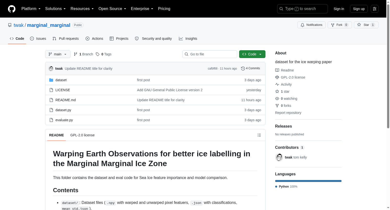
该数据集用于研究海冰特征重要性和模型比较,重点关注边缘边缘冰区(Marginal Marginal Ice Zone)中海冰标签的改进。
数据集内容
- 数据文件:以
.npy格式存储的扭曲(warped)和未扭曲(unwarped)像素特征。 - 分类标签:以
.json格式存储的分类结果。 - 统计信息:
mean_std.json文件包含数据集的均值和标准差统计信息。 - 数据加载器:
dataset.py提供了独立的数据集加载器,负责通道归一化并提供load_data函数。 - 评估脚本:
evaluate.py为演示评估脚本,可运行生成相关评估表格。
运行环境与依赖
需安装 numpy、pandas 和 scikit-learn,可通过 pip install numpy pandas scikit-learn 安装。
运行方式
运行 python evaluate.py 即可执行评估并复现以下表格结果:
- 基础特征重要性(Base Feature Importance)
- MODIS特征重要性(MODIS Feature Importance)
- 模型比较(Model Comparison)