中国区域10km分辨率逐日植被冠层水储量数据集(1979-2015年)
收藏国家地球系统科学数据中心2021-12-16 更新2024-03-04 收录
下载链接:
https://www.geodata.cn/data/datadetails.html?dataguid=4600484&docId=10581
下载链接
链接失效反馈官方服务:
资源简介:
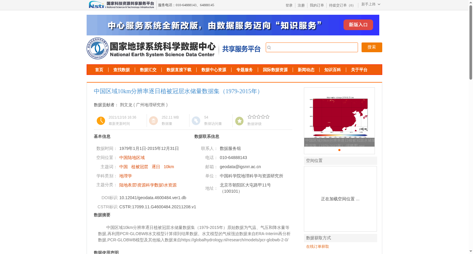
中国区域10km分辨率逐日植被冠层水储量数据集(1979-2015年)原始数据为气温、气压和降水量等数据,再利用PCR-GLOBWB水文模型计算得到结果数据。水文模型的气候强迫数据来自ERA-Interim再分析数据,PCR-GLOBWB模型及其他输入数据来自https://globalhydrology.nl/research/models/pcr-globwb-2-0/
Daily vegetation canopy water storage dataset over China at 10 km resolution (1979–2015). The raw input data includes meteorological variables such as air temperature, atmospheric pressure and precipitation, and the final dataset was generated using the PCR-GLOBWB hydrological model. The climatic forcing data for the hydrological model were sourced from ERA-Interim reanalysis data, while the PCR-GLOBWB model and other input datasets were obtained from https://globalhydrology.nl/research/models/pcr-globwb-2-0/
提供机构:
广州地理研究所
创建时间:
2021-12-08
搜集汇总
数据集介绍
背景与挑战
背景概述
该数据集是中国区域1979年至2015年逐日植被冠层水储量数据,空间分辨率为10km,覆盖中国陆地区域。数据基于PCR-GLOBWB水文模型计算,使用ERA-Interim再分析气候数据作为输入,经过严格质量审查,适用于水资源和生态研究。
以上内容由遇见数据集搜集并总结生成


