SODA - POP 2.2.4 Monthly Means, 1871-2010 (At Surface), Lon+/-180
收藏coastwatch.pfeg.noaa.gov2024-11-05 更新2025-03-23 收录
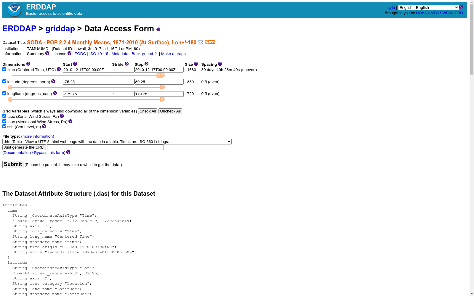
下载链接:
https://coastwatch.pfeg.noaa.gov/erddap/griddap/hawaii_3e19_7ccd_16ff_LonPM180.html
下载链接
链接失效反馈资源简介:
Simple Ocean Data Assimilation (SODA) version 2.2.4 - A reanalysis of ocean
climate. SODA uses the GFDL modular ocean model version 2.2. The model is
forced by observed surface wind stresses from the COADS data set (from 1958
to 1992) and from NCEP (after 1992). Note that the wind stresses were
detrended before use due to inconsistencies with observed sea level pressure
trends. The model is also constrained by constant assimilation of observed
temperatures, salinities, and altimetry using an optimal data assimilation
technique. The observed data comes from: 1) The World Ocean Atlas 1994 which
contains ocean temperatures and salinities from mechanical
bathythermographs, expendable bathythermographs and conductivity-temperature-
depth probes. 2) The expendable bathythermograph archive 3) The TOGA-TAO
thermistor array 4) The Soviet SECTIONS tropical program 5) Satellite
altimetry from Geosat, ERS/1 and TOPEX/Poseidon.
We are now exploring an eddy-permitting reanalysis based on the Parallel
Ocean Program POP-1.4 model with 40 levels in the vertical and a 0.4x0.25
degree displaced pole grid (25 km resolution in the western North
Atlantic). The first version of this we will release is SODA1.2, a
reanalysis driven by ERA-40 winds covering the period 1958-2001 (extended to
the current year using available altimetry).
cdm_data_type=Grid
Conventions=COARDS, CF-1.6, ACDD-1.3
dataType=Grid
defaultGraphQuery=&.draw=vectors
documentation=http://apdrc.soest.hawaii.edu/datadoc/soda_2.2.4.php
Easternmost_Easting=179.75
geospatial_lat_max=89.25
geospatial_lat_min=-75.25
geospatial_lat_resolution=0.5
geospatial_lat_units=degrees_north
geospatial_lon_max=179.75
geospatial_lon_min=-179.75
geospatial_lon_resolution=0.5
geospatial_lon_units=degrees_east
history=Tue Nov 05 13:38:44 HST 2024 : imported by GrADS Data Server 2.0
infoUrl=https://www.atmos.umd.edu/~ocean/
institution=TAMU/UMD
keywords_vocabulary=GCMD Science Keywords
Northernmost_Northing=89.25
sourceUrl=http://apdrc.soest.hawaii.edu/dods/public_data/SODA/soda_pop2.2.4
Southernmost_Northing=-75.25
standard_name_vocabulary=CF Standard Name Table v70
time_coverage_end=2010-12-15T00:00:00Z
time_coverage_start=1871-01-15T00:00:00Z
Westernmost_Easting=-179.75
简易海洋数据同化(SODA)版本2.2.4——海洋气候再分析。SODA采用GFDL模块化海洋模型版本2.2,该模型受COADS数据集(1958年至1992年)和NCEP(1992年之后)观测到的表面风应力驱动。请注意,由于与观测到的海平面压力趋势不一致,在使用前对风应力进行了去趋势处理。此外,模型还通过最优数据同化技术,恒定地同化观测到的温度、盐度及海面高度。观测数据来源于:1)1994年世界海洋大洋洋本初子午线,其中包含来自机械式深温计、一次性深温计及电导率-温度-深度探针的海洋温度和盐度数据;2)一次性深温计档案;3)TOGA-TAO热敏电阻阵列;4)苏联SECTIONS热带计划;5)来自Geosat、ERS/1和TOPEX/Poseidon的卫星测高数据。目前,我们正在探索基于并行海洋程序POP-1.4模型,该模型具有40层垂直分辨率和0.4x0.25度偏移极地网格(西北大西洋分辨率达到25公里)的涡旋允许再分析。我们将首先发布SODA1.2版本,该版本由ERA-40风驱动,覆盖1958年至2001年期间(使用可用的测高数据扩展至当前年份)。cdm_data_type=Grid,约定=COARDS、CF-1.6、ACDD-1.3,dataType=Grid,默认图形查询=&.draw=vectors,文档=http://apdrc.soest.hawaii.edu/datadoc/soda_2.2.4.php,最东经=179.75,地理空间最大纬度=89.25,地理空间最小纬度=-75.25,地理空间纬度分辨率=0.5,地理空间纬度单位=北纬度,地理空间最大经度=179.75,地理空间最小经度=-179.75,地理空间经度分辨率=0.5,地理空间经度单位=东经度,历史记录=Mon Nov 05 13:38:44 HST 2024:由GrADS数据服务器2.0导入,信息URL=https://www.atmos.umd.edu/~ocean/,机构=TAMU/UMD,关键词词汇表=GCMD科学关键词,最北纬度=89.25,标准名称词汇=CF标准名称表v70,时间范围结束=2010-12-15T00:00:00Z,时间范围开始=1871-01-15T00:00:00Z,最西经度=-179.75。
提供机构:
NOAA NMFS SWFSC Environmental Research Division
AI搜集汇总
数据集介绍
背景与挑战
背景概述
该数据集是SODA - POP 2.2.4的月度平均值数据,覆盖1871年至2010年,包含全球表面的纬向风应力、经向风应力和海平面高度三个关键变量。空间分辨率为0.5度,时间分辨率为月度,适用于海洋气候研究。
以上内容由AI搜集并总结生成


