中国250米灌溉耕地分布数据集(2000-2020)
收藏国家青藏高原科学数据中心2025-01-03 更新2025-01-04 收录
下载链接:
https://data.tpdc.ac.cn/zh-hans/data/5eb87d37-a0df-44bb-9f07-077c4e2d0594
下载链接
链接失效反馈官方服务:
资源简介:
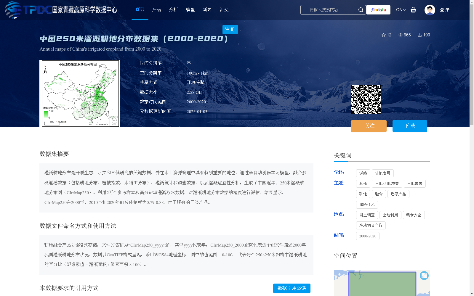
灌溉耕地分布是开展生态、水文和气候研究的关键数据,并在水土资源管理中具有特别重要的地位。通过半自动机器学习模型,融合多源遥感数据(包括耕地分布、植被指数、水稻田分布)、灌溉统计和调查数据,以及灌溉适宜性分析,生成了中国逐年、250米灌溉耕地分布图(CIrrMap250)。利用2万个参考样本和高分辨率灌溉取水数据,对灌溉耕地分布数据的精度进行评估。结果显示,CIrrMap250在2000年、2010年和2020年的总体精度为0.79-0.88,优于现有的同类产品。
The distribution of irrigated cropland is critical data for ecological, hydrological and climate research, and holds particular importance in water and soil resource management. A semi-automated machine learning model was employed to integrate multi-source remote sensing data (including cropland distribution, vegetation indices, and paddy field distribution), irrigation statistics and survey data, as well as irrigation suitability analysis, to generate the annual 250-meter resolution irrigated cropland distribution map of China (CIrrMap250). The accuracy of the irrigated cropland distribution data was evaluated using 20,000 reference samples and high-resolution irrigation water intake data. The results demonstrate that the overall accuracy of CIrrMap250 ranges from 0.79 to 0.88 for the years 2000, 2010 and 2020, outperforming existing similar products.
提供机构:
张凌
创建时间:
2024-11-14
搜集汇总
数据集介绍
背景与挑战
背景概述
该数据集提供了中国2000年至2020年逐年、250米空间分辨率的灌溉耕地分布图,通过融合多源遥感、统计和调查数据,采用半自动机器学习方法生成,精度较高(总体精度0.79-0.88),适用于生态、水文和气候研究及水土资源管理。数据以GeoTIFF格式开放获取,每个像素值表示灌溉耕地百分比,需按规范引用。
以上内容由遇见数据集搜集并总结生成


