黄土高原90米分辨率坡长因子图(2012年)
收藏国家地球系统科学数据中心2023-04-07 更新2024-03-04 收录
下载链接:
https://www.geodata.cn/data/datadetails.html?dataguid=71869700095769&docId=6038
下载链接
链接失效反馈官方服务:
资源简介:
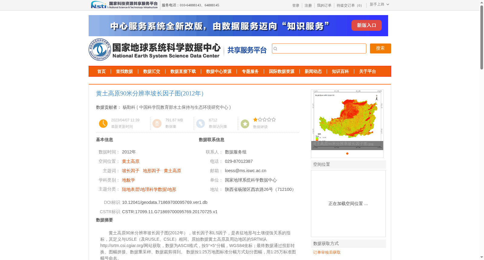
黄土高原90米分辨率坡长因子图(2012年),坡长因子和LS因子,是表征地形与土壤侵蚀关系的指标,其定义与USLE(及RUSLE、CSLE)相同。原始数据黄土高原及周边地区的SRTM从http://srtm.csi.cgiar.org/网站获取,数据为ASCII格式,按5°×5°分幅,WGS84坐标;最终数据通过投影转换、图幅拼接、数据重采样、数据裁剪得到。 数据按1:25万地图标准分幅方式划分图幅,用1:25万标准图幅号命名。
90-meter resolution slope length factor map of the Loess Plateau (2012). The slope length factor and LS factor are indices characterizing the relationship between topography and soil erosion, with definitions consistent with those of the Universal Soil Loss Equation (USLE), Revised Universal Soil Loss Equation (RUSLE) and Chinese Soil Loss Equation (CSLE). Raw SRTM data of the Loess Plateau and its surrounding areas were obtained from the website http://srtm.csi.cgiar.org/, which is in ASCII format, tiled at 5°×5° and uses the WGS84 coordinate system. The final dataset was generated through projection transformation, map sheet mosaicking, data resampling and data clipping. The dataset is divided into map sheets according to the 1:250,000 scale standard map sheet division specification, and named with the standard 1:250,000 map sheet numbers.
提供机构:
中国科学院教育部水土保持与生态环境研究中心
创建时间:
2017-07-25
搜集汇总
数据集介绍
背景与挑战
背景概述
该数据集是2012年黄土高原地区的90米分辨率坡长因子专题图,用于表征地形与土壤侵蚀关系,基于SRTM数据经投影转换、拼接和重采样等处理生成,精度满足区域水文和土壤侵蚀分析需求。
以上内容由遇见数据集搜集并总结生成


