西南山区山体崩塌及震裂物源遥感影像数据样本集(2008-2018)
收藏国家青藏高原科学数据中心2022-03-14 更新2024-03-06 收录
下载链接:
https://data.tpdc.ac.cn/zh-hans/data/b0b8d9ee-245c-45fa-b1e3-f41377868f14
下载链接
链接失效反馈官方服务:
资源简介:
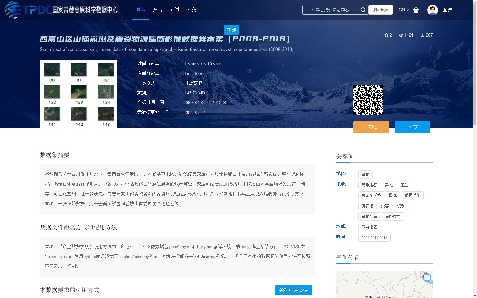
本数据为关于四川省北川地区、云南省鲁甸地区、贵州省毕节地区的影像信息数据,可用于构建山体震裂崩塌遥感影像的解译识别标志,揭示山体震裂崩塌形成的一般形式,评估具体山体震裂崩塌的危险等级;数据可结合DEM数据用于挖掘山体震裂崩塌的发育机制等。可在此基础上进一步研究,完善研究山体震裂崩塌的智能识别理论及形成机制,为寻找其他相似类型震裂崩塌物源提供指示意义。本项目部分原始数据可用于全面了解鲁甸区域山体震裂崩塌危险性等。
This dataset contains remote sensing image data from three regions: Beichuan in Sichuan Province, Ludian in Yunnan Province and Bijie in Guizhou Province. It can be used to establish interpretation and recognition markers for remote sensing images of seismic-induced fractured mountain collapses, reveal the general formation patterns of such collapses, and evaluate the hazard levels of individual seismic-induced fractured mountain collapses. When combined with Digital Elevation Model (DEM) data, this dataset can also be applied to explore the developmental mechanisms of seismic-induced fractured mountain collapses and other related research topics. Further studies based on this dataset can help improve the theoretical system of intelligent recognition and formation mechanism research for seismic-induced fractured mountain collapses, and provide guidance for locating source materials of other similar seismic-triggered collapses. In addition, some of the original raw data from this project can be used to comprehensively understand the hazard status of seismic-induced fractured mountain collapses in the Ludian region and other relevant aspects.
提供机构:
韩征
创建时间:
2022-03-08
搜集汇总
数据集介绍
背景与挑战
背景概述
该数据集包含2008-2018年间西南山区(四川北川、云南鲁甸、贵州毕节)的山体崩塌及震裂物源遥感影像数据,空间分辨率为1m-10m,数据大小为145.73MB,主要用于山体震裂崩塌的识别、危险等级评估及发育机制研究。数据以开放获取方式共享,需按规范引用。
以上内容由遇见数据集搜集并总结生成


