2000-2020年全球30m不透水面空间分布产品(GISD30_2000-2020)
收藏地球大数据科学工程2024-04-26 收录
下载链接:
https://data.casearth.cn/sdo/detail/625e14c1819aec2a46dcc033
下载链接
链接失效反馈官方服务:
资源简介:
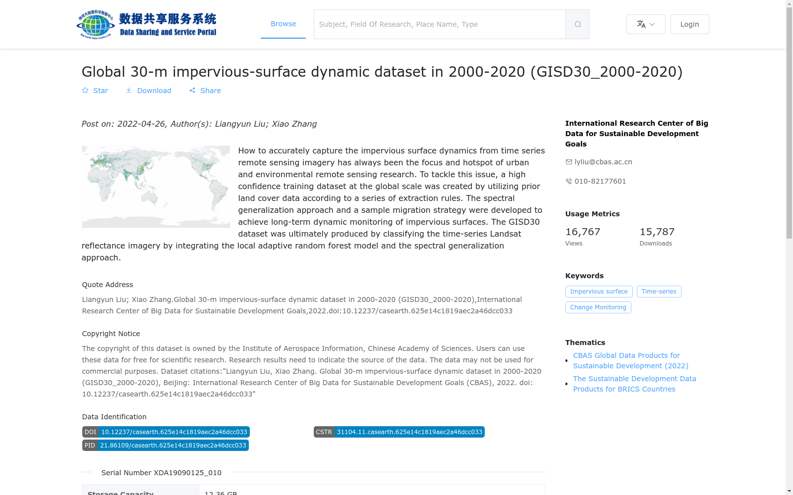
不透水作为一个影响生态环境的关键因子已引起了全社会的广泛关注。基于已有的先验地表覆盖数据集和置信样本提取规则,构建了一套高置信度的全球训练样本集,并提出了耦合光谱拓展和样本迁移策略的长时序不透水面动态监测方法,采用局部自适应随机森林分类模型,对1998-2021年时间序列Landsat地表反射率数据进行了人工不透水面的自动提取,生产了2000-2020年全球30米不透水面空间分布产品。
Impervious surfaces, as a critical factor affecting ecological environments, have attracted widespread attention from society at large. Based on existing prior land cover datasets and confident sample extraction rules, we constructed a high-confidence global training sample set, and proposed a long-time series dynamic monitoring method for impervious surfaces that couples spectral expansion and sample migration strategies. Leveraging a locally adaptive random forest classification model, we automatically extracted anthropogenic impervious surfaces from time-series Landsat surface reflectance data covering 1998 to 2021, and produced the global 30-meter spatial distribution product of impervious surfaces for the period 2000 to 2020.
提供机构:
可持续发展大数据国际研究中心
搜集汇总
数据集介绍
背景与挑战
背景概述
该数据集是一个全球30米分辨率的不透水面动态分布产品,覆盖2000年至2020年,旨在通过时间序列Landsat遥感影像实现长期动态监测。它采用光谱泛化方法和局部自适应随机森林模型进行分类,提供高空间分辨率(30米)和五个时间点(2000、2005、2010、2015、2020年)的数据,适用于城市和环境遥感研究,但仅限于非商业科学用途。
以上内容由遇见数据集搜集并总结生成


