全球Cryosat-2 GDR数据集(V1.0)(2010-2016)
收藏国家青藏高原科学数据中心2021-04-19 更新2024-03-06 收录
下载链接:
https://data.tpdc.ac.cn/zh-hans/data/8ea27f65-d0e5-43dc-a8db-b5b1982450e7
下载链接
链接失效反馈官方服务:
资源简介:
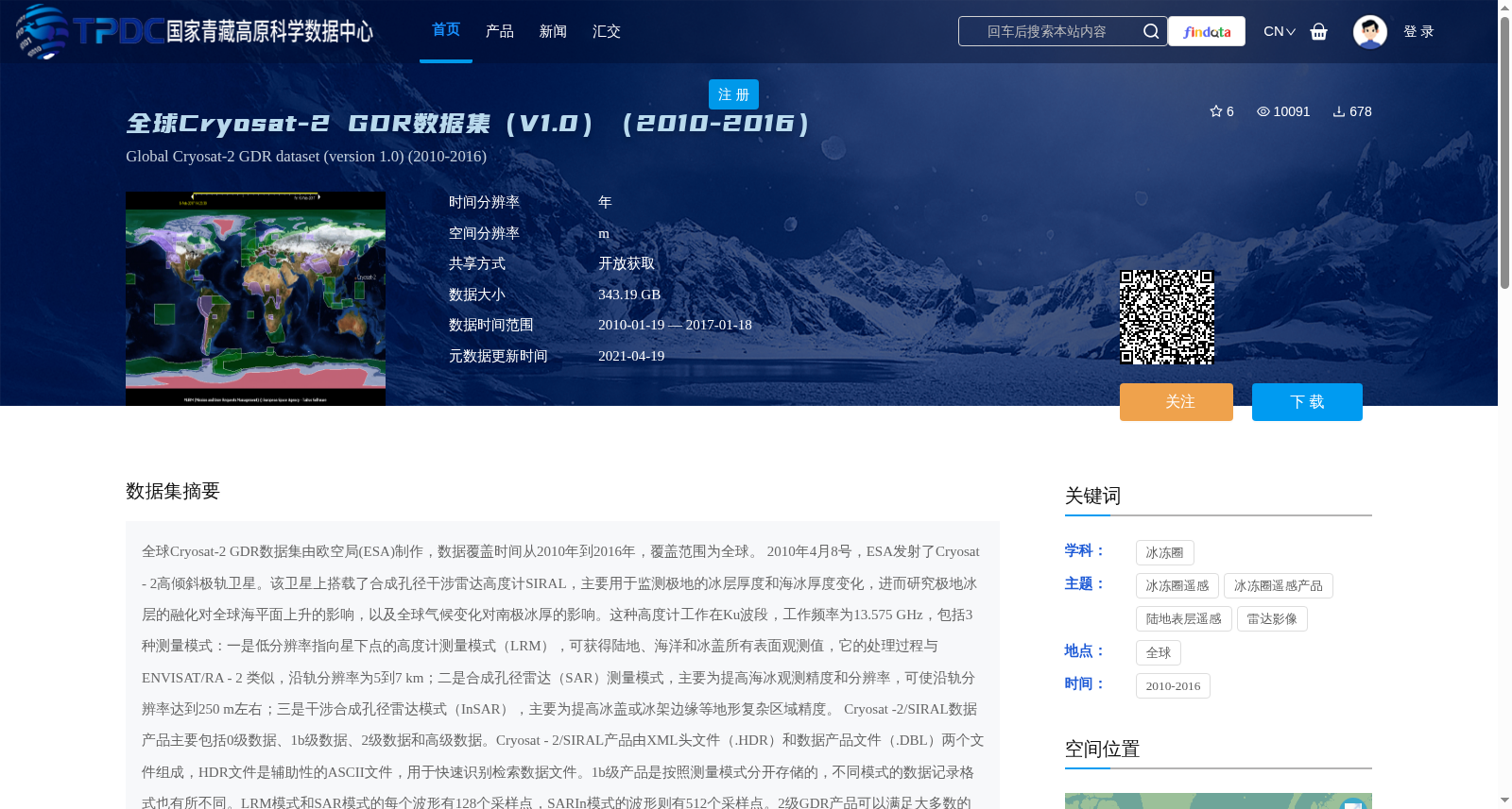
全球Cryosat-2 GDR数据集由欧空局(ESA)制作,数据覆盖时间从2010年到2016年,覆盖范围为全球。
2010年4月8号,ESA发射了Cryosat - 2高倾斜极轨卫星。该卫星上搭载了合成孔径干涉雷达高度计SIRAL,主要用于监测极地的冰层厚度和海冰厚度变化,进而研究极地冰层的融化对全球海平面上升的影响,以及全球气候变化对南极冰厚的影响。这种高度计工作在Ku波段,工作频率为13.575 GHz,包括3种测量模式:一是低分辨率指向星下点的高度计测量模式(LRM),可获得陆地、海洋和冰盖所有表面观测值,它的处理过程与ENVISAT/RA - 2 类似,沿轨分辨率为5到7 km;二是合成孔径雷达(SAR)测量模式,主要为提高海冰观测精度和分辨率,可使沿轨分辨率达到250 m左右;三是干涉合成孔径雷达模式(InSAR),主要为提高冰盖或冰架边缘等地形复杂区域精度。
Cryosat -2/SIRAL数据产品主要包括0级数据、1b级数据、2级数据和高级数据。Cryosat - 2/SIRAL产品由XML头文件(.HDR)和数据产品文件(.DBL)两个文件组成,HDR文件是辅助性的ASCII文件,用于快速识别检索数据文件。1b级产品是按照测量模式分开存储的,不同模式的数据记录格式也有所不同。LRM模式和SAR模式的每个波形有128个采样点,SARIn模式的波形则有512个采样点。2级GDR产品可以满足大多数的科学研究应用,包括了测量时间、地理位置、高度等信息。并且,GDR产品中的高度信息已经经过了仪器校正、传输延迟改正、几何改正和地球物理改正(如大气改正与潮汐改正)。GDR产品是单独的全球性的全轨道数据,即三种模式的测量结果,经过不同的处理过程后,按照时间先后顺序,合并到一起,从而统一了数据记录格式。三种模式的数据采用了不同的波形重跟踪算法来获得高度值,在最新更新的Baseline C数据中,LRM模式的数据采用了3种算法,分别为Refined CFI、UCL和Refined OCOG。
The global Cryosat-2 GDR dataset was produced by the European Space Agency (ESA), with a coverage period from 2010 to 2016 and global spatial coverage.
On April 8, 2010, ESA launched the Cryosat-2 highly inclined polar-orbiting satellite. The satellite is equipped with the Synthetic Aperture Interferometric Radar Altimeter (SIRAL), which is mainly used to monitor changes in polar ice sheet and sea ice thickness, so as to further investigate the impact of polar ice melting on global sea level rise and the impact of global climate change on Antarctic ice thickness. This altimeter operates in the Ku-band with an operating frequency of 13.575 GHz, and includes three measurement modes:
1. Low Resolution Mode (LRM): a nadir-pointing altimeter mode that can obtain observations over land, ocean and ice sheet surfaces. Its processing procedure is similar to that of ENVISAT/RA-2, with an along-track resolution of 5 to 7 km;
2. Synthetic Aperture Radar (SAR) Mode: mainly designed to improve the accuracy and resolution of sea ice observations, with an along-track resolution of approximately 250 m;
3. Interferometric Synthetic Aperture Radar (InSAR) Mode: mainly used to improve the accuracy of topographically complex areas such as ice sheet or ice shelf margins.
Cryosat-2/SIRAL data products mainly include Level 0 data, Level 1b data, Level 2 data and advanced products. Cryosat-2/SIRAL products consist of two files: an XML header file (.HDR) and a data product file (.DBL). The HDR file is an auxiliary ASCII file used for quick identification and retrieval of data files. Level 1b products are stored separately according to measurement modes, and the data record formats vary across different modes. Each waveform in LRM and SAR modes has 128 sampling points, while waveforms in InSAR mode have 512 sampling points. Level 2 GDR products can meet most scientific research applications, and include information such as measurement time, geographic location and altitude. In addition, the altitude information in GDR products has undergone instrument calibration, transmission delay correction, geometric correction and geophysical corrections (such as atmospheric corrections and tidal corrections). GDR products are standalone global full-orbit data: the measurement results of the three modes are merged in chronological order after undergoing different processing procedures, thereby unifying the data record format. Data from the three modes use different waveform retracking algorithms to obtain altitude values. In the newly updated Baseline C dataset, LRM mode data adopts three algorithms, namely Refined CFI, UCL and Refined OCOG.
提供机构:
沈国状,傅文学
创建时间:
2018-02-24
搜集汇总
数据集介绍
背景与挑战
背景概述
全球Cryosat-2 GDR数据集(V1.0)是由欧空局制作的2010-2016年全球卫星观测数据,通过Cryosat-2卫星的SIRAL雷达高度计监测极地冰层变化,包含三种测量模式和多级数据产品,总数据量343.19GB。该数据集主要用于研究极地冰层融化与气候变化的关系,数据经过严格校正,适合科学研究使用。
以上内容由遇见数据集搜集并总结生成


