青海省突发性地质灾害主要分布统计表(2011-2018)
收藏国家青藏高原科学数据中心2022-04-18 更新2024-03-07 收录
下载链接:
https://data.tpdc.ac.cn/zh-hans/data/ddde526d-7378-4add-a11d-6548c3a425e9
下载链接
链接失效反馈官方服务:
资源简介:
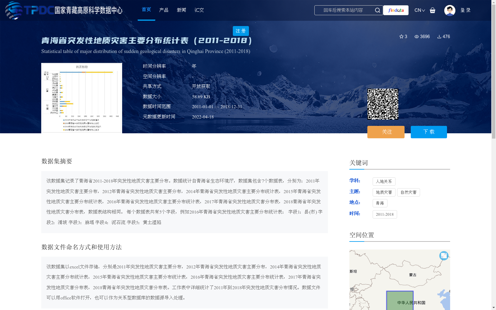
该数据集记录了青海省2011-2018年突发性地质灾害主要分布。数据统计自青海省生态环境厅,数据集包含7个数据表,分别为:2011年突发性地质灾害主要分布,2012年青海省突发性地质灾害主要分布,2014年青海省突发性地质灾害主要分布统计表,2015年青海省突发性地质灾害主要分布统计表,2016年青海省突发性地质灾害主要分布统计表,2017年青海省突发性地质灾害分布表,2018青海省年突发性地质灾害分布表,数据表结构相同。
每个数据表共有5个字段,例如2016年青海省突发性地质灾害主要分布统计表:
字段1:县(市)
字段2:滑坡
字段3:崩塌
字段4:泥石流
字段5:黄土湿陷
This dataset documents the primary distribution of sudden geological disasters in Qinghai Province from 2011 to 2018. The data is compiled from the Qinghai Provincial Department of Ecology and Environment. The dataset consists of 7 data tables, which are listed as follows:
1. Main Distribution of Sudden Geological Disasters in Qinghai Province, 2011
2. Main Distribution of Sudden Geological Disasters in Qinghai Province, 2012
3. Statistical Table of Main Distribution of Sudden Geological Disasters in Qinghai Province, 2014
4. Statistical Table of Main Distribution of Sudden Geological Disasters in Qinghai Province, 2015
5. Statistical Table of Main Distribution of Sudden Geological Disasters in Qinghai Province, 2016
6. Distribution Table of Sudden Geological Disasters in Qinghai Province, 2017
7. Distribution Table of Sudden Geological Disasters in Qinghai Province, 2018
All the data tables share an identical structure. Each data table has 5 fields. Taking the Statistical Table of Main Distribution of Sudden Geological Disasters in Qinghai Province, 2016 as an example:
Field 1: County (City)
Field 2: Landslide
Field 3: Collapse
Field 4: Debris Flow
Field 5: Loess Collapsibility
提供机构:
青海省生态环境厅
创建时间:
2021-01-05
搜集汇总
数据集介绍
背景与挑战
背景概述
该数据集统计了青海省2011-2018年间突发性地质灾害的主要分布情况,包含7个年份的数据表,每个表记录各县市的地质灾害类型。数据以Excel格式存储,便于使用和分析。
以上内容由遇见数据集搜集并总结生成


