中国地表温度数据集(2003-2017)
收藏国家青藏高原科学数据中心2022-04-18 更新2024-03-01 收录
下载链接:
https://data.tpdc.ac.cn/zh-hans/data/055dfa65-e097-4000-9bda-992def32969f
下载链接
链接失效反馈官方服务:
资源简介:
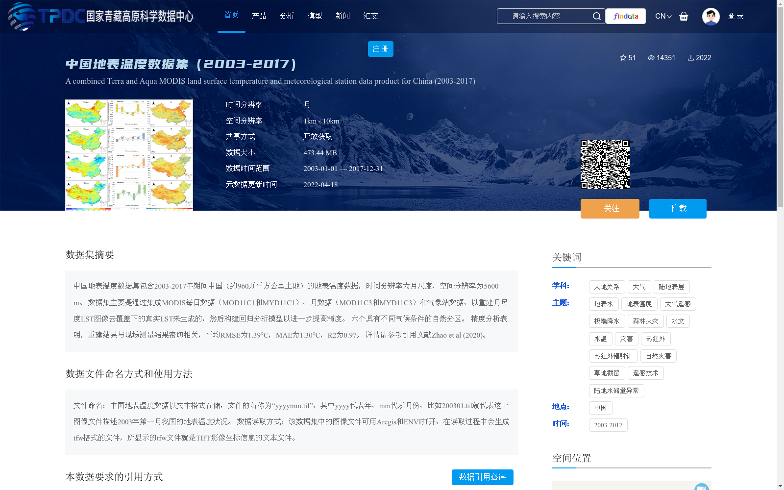
中国地表温度数据集包含2003-2017年期间中国(约960万平方公里土地)的地表温度数据,时间分辨率为月尺度,空间分辨率为5600 m。
数据集主要是通过集成MODIS每日数据(MOD11C1和MYD11C1),月数据(MOD11C3和MYD11C3)和气象站数据,以重建月尺度LST图像云覆盖下的真实LST来生成的,然后构建回归分析模型以进一步提高精度。 六个具有不同气候条件的自然分区。 精度分析表明,重建结果与现场测量结果密切相关,平均RMSE为1.39°C,MAE为1.30°C,R2为0.97。
详情请参考引用文献Zhao et al (2020)。
The China Land Surface Temperature Dataset contains land surface temperature (LST) data covering approximately 9.6 million square kilometers of China's territory during the period 2003–2017, with a monthly temporal resolution and a spatial resolution of 5600 m. The dataset was generated by integrating MODIS daily products (MOD11C1 and MYD11C1), monthly products (MOD11C3 and MYD11C3), and meteorological station data to reconstruct the true LST values under cloud cover in monthly-scale LST images, followed by the construction of a regression analysis model to further improve the prediction accuracy. The dataset encompasses six natural regional divisions with distinct climatic conditions. Accuracy evaluation results demonstrate that the reconstructed LST products exhibit strong consistency with in-situ measurements, with an average RMSE of 1.39°C, MAE of 1.30°C, and R² of 0.97. For more details, please refer to the cited literature Zhao et al. (2020).
提供机构:
毛克彪
创建时间:
2020-11-01
搜集汇总
数据集介绍
背景与挑战
背景概述
该数据集提供了2003年至2017年中国地表温度的月尺度数据,空间分辨率为5.6公里,通过集成MODIS和气象站数据重建以处理云覆盖,并采用回归模型提高精度,平均误差低于1.4°C,适用于气候和环境研究。数据以开放获取方式共享,要求用户引用相关文献。
以上内容由遇见数据集搜集并总结生成


