
AqUavplant Dataset: A High-Resolution Aquatic Plant Classification and Segmentation Image Dataset Using UAV
收藏DataCite Commons2024-12-21 更新2024-11-05 收录
下载链接:
https://figshare.com/articles/dataset/AqUavplant_Dataset_A_High-Resolution_Aquatic_Plant_Classification_and_Segmentation_Image_Dataset_Using_UAV/27019894
下载链接
链接失效反馈官方服务:
资源简介:
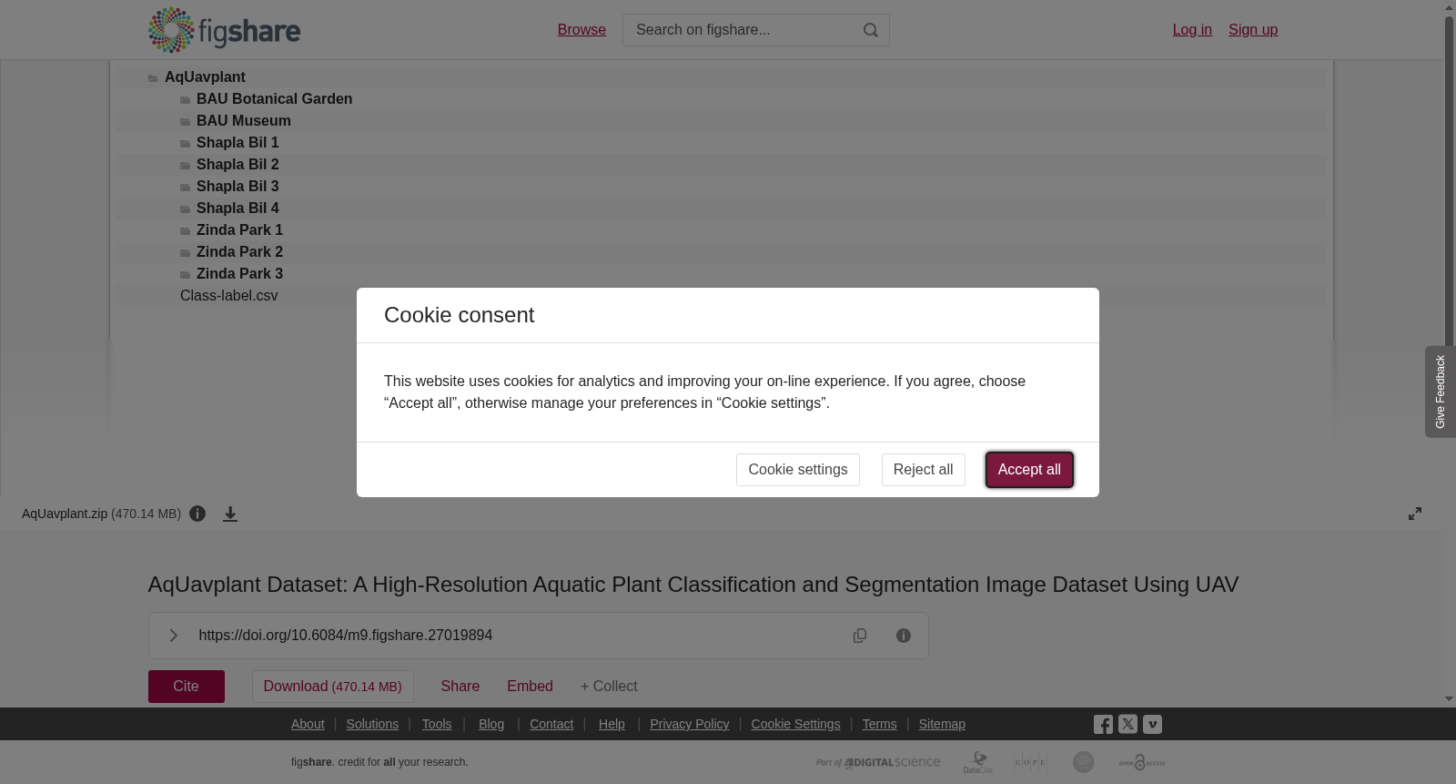
In this AqUavplant dataset, we aim to contribute to the aquatic plant mapping benchmarking datasets for agriculture–computer vision researchers. We captured RGB images using a UAV at low altitudes to acquire higher details of small-sized freshwater aquatic plants in Bangladesh. A realistic demographic and geographic variation is added by collecting images of 31 types of invasive and indigenous aquatic species from nine sites in three locations. There are 197 high-resolution images each containing a lofty number of species. The AqUavplant dataset comprising binary and multiclass semantic segmentation annotations, can enhance data-driven models for automatic aquatic plant mapping. Eventually, the reliable baselines mentioned in the manuscript will aid researchers in leveraging the dataset for improved prediction, monitoring, and obtaining demographic data, thereby advancing common and rare aquatic plant mapping.
AqUavplant数据集旨在为农业-计算机视觉领域的研究者提供水生植物测绘基准数据集。我们采用低空无人机(Unmanned Aerial Vehicle, UAV)采集RGB图像,以获取孟加拉国境内小型淡水水生植物的高细节特征。本数据集通过在三个区域的九个采样点采集31种入侵及本土水生植物的图像,引入了真实的种群与地理分布差异。数据集共包含197张高分辨率图像,每张图像中均包含大量水生植物物种。AqUavplant数据集包含二元语义分割(binary semantic segmentation)与多分类语义分割(multiclass semantic segmentation)标注,可用于优化面向自动水生植物测绘的数据驱动模型。最终,本文稿中提及的可靠基准将助力研究者利用该数据集开展更精准的预测、监测工作并获取种群统计数据,从而推动常见与珍稀水生植物测绘研究的发展。
提供机构:
figshare
创建时间:
2024-09-14
搜集汇总
数据集介绍
背景与挑战
背景概述
AqUavplant Dataset是一个高分辨率水生植物分类和分割图像数据集,包含197张从孟加拉国三个地点采集的31种水生植物图像,具有二元和多类语义分割标注,旨在支持农业-计算机视觉研究中的水生植物自动测绘。
以上内容由遇见数据集搜集并总结生成



