中国时序土地利用数据集(2016-2022)
收藏资源简介:
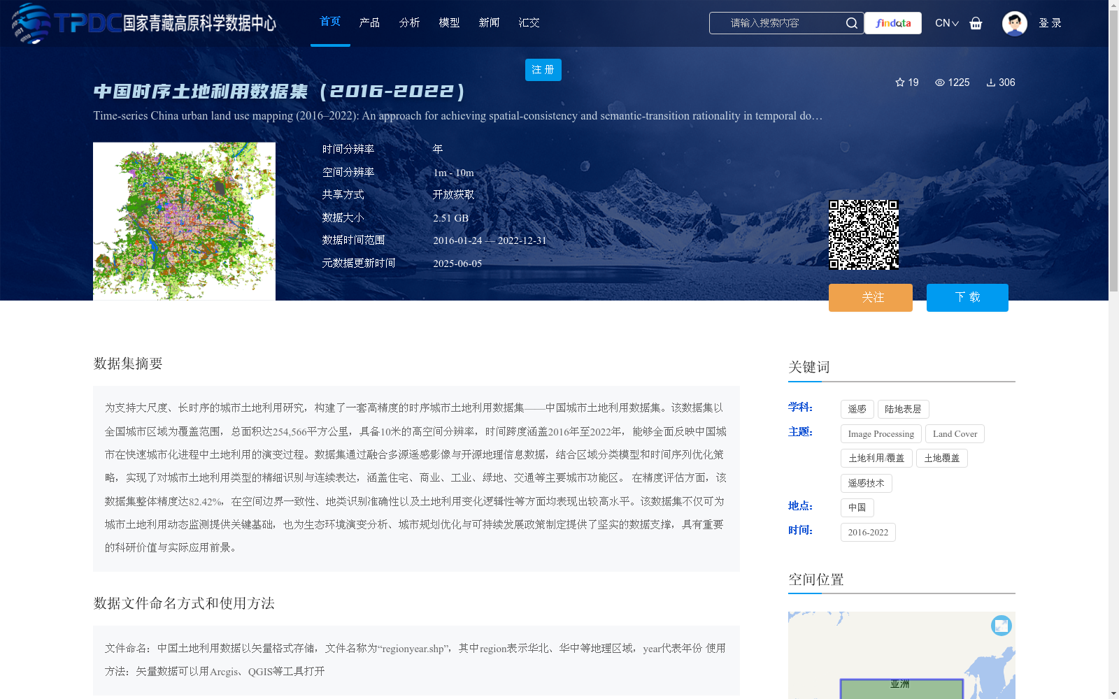
为支持大尺度、长时序的城市土地利用研究,构建了一套高精度的时序城市土地利用数据集——中国城市土地利用数据集。该数据集以全国城市区域为覆盖范围,总面积达254,566平方公里,具备10米的高空间分辨率,时间跨度涵盖2016年至2022年,能够全面反映中国城市在快速城市化进程中土地利用的演变过程。数据集通过融合多源遥感影像与开源地理信息数据,结合区域分类模型和时间序列优化策略,实现了对城市土地利用类型的精细识别与连续表达,涵盖住宅、商业、工业、绿地、交通等主要城市功能区。 在精度评估方面,该数据集整体精度达82.42%,在空间边界一致性、地类识别准确性以及土地利用变化逻辑性等方面均表现出较高水平。该数据集不仅可为城市土地利用动态监测提供关键基础,也为生态环境演变分析、城市规划优化与可持续发展政策制定提供了坚实的数据支撑,具有重要的科研价值与实际应用前景。
To support large-scale, long-term urban land use research, a high-precision temporal urban land use dataset, the China Urban Land Use Dataset, was constructed. This dataset covers all urban areas across China, with a total area of 254,566 square kilometers, a high spatial resolution of 10 meters, and a temporal span from 2016 to 2022. It comprehensively reflects the evolution of land use in Chinese cities during the process of rapid urbanization. The dataset is developed by fusing multi-source remote sensing images and open-source geographic information data, combined with regional classification models and temporal sequence optimization strategies, enabling fine-grained identification and continuous representation of urban land use types, covering major urban functional zones such as residential, commercial, industrial, green space, and transportation areas. In terms of accuracy assessment, the overall accuracy of this dataset reaches 82.42%, and it exhibits high performance in terms of spatial boundary consistency, land type recognition accuracy, and the logicality of land use changes. This dataset not only provides a critical foundation for dynamic monitoring of urban land use, but also offers solid data support for ecological environment evolution analysis, urban planning optimization, and sustainable development policy formulation, holding significant scientific research value and practical application prospects.