AerialPS
收藏资源简介:
AerialPanoptic是一个面向无人机航拍图像的开源词汇全景分割基准数据集。它整合了来自五个不同无人机数据集的图像,构建统一的基准用于评估和推进无人机场景下的全景分割技术。数据集采用基础模型辅助的标注流程,经过类别归一化、分类审核和确定性后处理生成标注。训练集和验证集使用冻结的伪全景标注,测试集则经过人工精修和独立审核,确保评估可靠性。数据规模在10,000到100,000张图像之间。该数据集主要支持以下任务:全景分割(联合识别和分割可数物体“things”和不可数区域“stuff”)、实例分割与目标检测(利用实例掩码及其导出边界框)、语义分割(将全景图转换为类别级语义图)、视觉定位(以类别名称为文本查询,对应全景掩码和边界框作为定位目标)、以及小目标感知(高分辨率无人机图像适合研究尺度变化、密集小目标、精细边界和高效推理)。当前标注不包含自由形式的指代表达,但研究者可扩展添加自然语言描述。数据集文件、格式文档和评估说明将随仓库发布。
AerialPanoptic is an open-vocabulary panoptic segmentation benchmark dataset for drone aerial images. It integrates images from five different drone datasets, constructing a unified benchmark for evaluating and advancing panoptic segmentation in drone scenarios. The dataset uses a foundation model-assisted annotation pipeline, with category normalization, classification review, and deterministic post-processing. The training and validation sets use frozen pseudo-panoptic annotations, while the test set undergoes manual refinement and independent review to ensure reliable evaluation. The dataset size ranges from 10,000 to 100,000 images. It supports tasks including panoptic segmentation (joint recognition and segmentation of countable things and uncountable stuff), instance segmentation and object detection (using instance masks and derived bounding boxes), semantic segmentation (converting panoptic maps to class-level semantic maps), visual grounding (using category names as text queries with corresponding panoptic masks and bounding boxes as localization targets), and small object perception (high-resolution drone images suitable for studying scale variation, dense small objects, fine boundaries, and efficient inference). Current annotations do not include free-form referring expressions, but researchers can extend with natural language descriptions. Dataset files, format documentation, and evaluation instructions will be released with the repository.
AerialPanoptic是一个面向航空开放词汇全景分割(aerial open-vocabulary panoptic segmentation)的基准数据集,旨在将开放词汇全景场景理解扩展到无人机(UAV)影像领域。
数据集概况
- 名称:AerialPanoptic(pretty_name)
- 任务类型:图像分割(image-segmentation)
- 规模:10K < 样本数 < 100K(10K<n<100K)
- 标签:航空影像、无人机、全景分割、开放词汇分割、计算机视觉
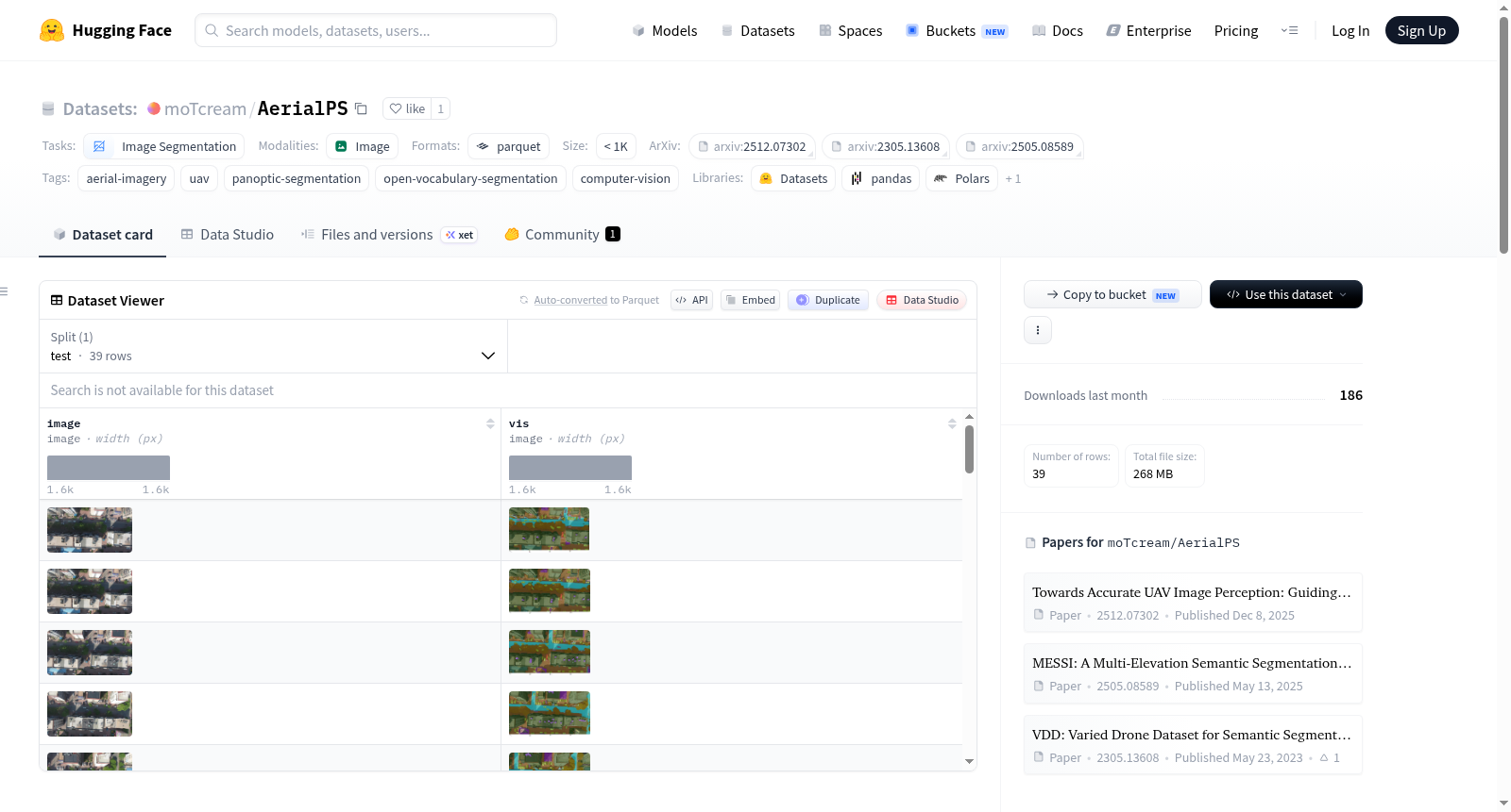
- 配置:默认配置(default),包含测试集(test)数据文件(viewer/udd_test.parquet)
数据来源与构建
该数据集整合了来自五个无人机数据集(包括AerialVG、AerialSense、UDD、VDD、MESSI)的影像,统一为一个基准。构建过程采用:
- 基础模型辅助的标注流程(foundation-model-assisted annotation pipeline)
- 类别归一化(category normalization)
- 分类体系审计(taxonomy auditing)
- 确定性后处理(deterministic post-processing)
训练集和验证集使用冻结的伪全景标注,完整测试集经过人工精修并独立审计,以保证评估的可靠性。
设计用途与扩展任务
该数据集主要面向航空开放词汇全景分割,其统一类别体系与像素级全景标注还使其适用于多种航空视觉任务:
| 任务类型 | 说明 |
|---|---|
| 全景分割 | 在统一场景表示中联合识别并分割可数对象(things)与不定形区域(stuff) |
| 实例分割与目标检测 | thing类别的实例掩膜可直接用于实例分割,包围框可自动派生用于目标检测 |
| 语义分割 | 将全景掩膜按类别合并为类级语义图 |
| 视觉定位 | 以类别名称或模板短语作为文本查询,对应全景掩膜及派生框作为定位目标,无需额外几何标注 |
| 小目标航空感知 | 高分辨率无人机影像适用于研究尺度变化、密集小目标、精细边界及高效推理 |
当前标注不包含自由形式的指代表达,如需进行指代表达定位或短语定位,研究者可自行添加自然语言描述,并复用现有掩膜与派生框作为空间监督。
可用性
数据集文件、详细格式文档及评估说明将在该仓库中发布。
标注贡献者
- Jiaxu Tian
- Jingjun Sun
- Ming Yang
引用
引用信息将在正式发表时补充。