S1_GRD_LC
收藏资源简介:
S1_GRD_LC是一个用于遥感图像分割和图像到图像任务的公开数据集。它为来自SARLO-80数据集的高分辨率UMBRA SAR图像块提供了地理对齐的Sentinel-1 GRD 10米分辨率后向散射数据(包括VV和VH极化)以及相应的ESA WorldCover 10米分辨率土地覆盖图。Sentinel-1 GRD数据通过Copernicus Data Space Ecosystem获取,经过正射校正并转换为dB单位的GAMMA0_TERRAIN值,覆盖2020年至2021年的时间范围。土地覆盖数据来源于ESA WorldCover v100 (2020),包含11个标准类别,如树木覆盖、灌木地、草地、耕地、建筑区、裸地/稀疏植被、冰雪、永久性水体、草本湿地、红树林、苔藓和地衣。数据集的核心特点是提供完全共配准的SAR与土地覆盖数据对。每个样本以两种形式提供:一是原始的北向上UTM 10米地图网格数据(无仿射变换),二是通过仿射变换重采样到原生UMBRA SAR图像坐标系下的数据,以实现与原始SAR幅度图像的对齐。数据文件包括NumPy数组(.npy)和用于可视化的PNG图像,并以WebDataset格式组织,便于流式加载,适用于SAR图像语义分割、土地覆盖分类和多模态遥感数据融合等任务。
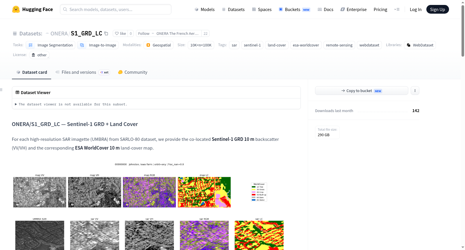
S1_GRD_LC is a public dataset for remote sensing image segmentation and image-to-image tasks. It provides geographically aligned Sentinel-1 GRD 10-meter resolution backscatter data (VV and VH polarizations) and corresponding ESA WorldCover 10-meter resolution land cover maps for high-resolution UMBRA SAR image patches from the SARLO-80 dataset. The Sentinel-1 GRD data is acquired via the Copernicus Data Space Ecosystem, orthorectified, and converted to dB-scaled GAMMA0_TERRAIN values, spanning the time period from 2020 to 2021. The land cover data is sourced from ESA WorldCover v100 (2020) and includes 11 standard categories, such as tree cover, shrubland, grassland, cropland, built-up areas, bare/sparse vegetation, snow and ice, permanent water bodies, herbaceous wetlands, mangroves, and moss and lichen. The core feature of the dataset is the provision of fully co-registered SAR and land cover data pairs. Each sample is provided in two forms: 1) original north-up UTM 10-meter map grid data (without affine transformation), and 2) data resampled to the native UMBRA SAR image coordinate system via an affine transformation estimated from four corner points, aligning it with the original SAR amplitude image. Data files include NumPy arrays (.npy) and PNG images for visualization. The dataset is organized in WebDataset format for easy streaming and is suitable for tasks such as SAR image semantic segmentation, land cover classification, and multimodal remote sensing data fusion.
数据集概述
数据集名称:ONERA/S1_GRD_LC — Sentinel-1 GRD + Land Cover
许可协议:other
数据集大小:10K<n<100K(样本数量介于1万到10万之间)
任务类别:
- 图像分割(image-segmentation)
- 图像到图像(image-to-image)
标签:SAR、Sentinel-1、土地覆盖、ESA WorldCover、遥感、WebDataset
数据集内容
该数据集为每个高分辨率 SAR 图像(来自 UMBRA 的 SARLO-80 数据集)提供以下配准数据:
- Sentinel-1 GRD 10米 后向散射(VV/VH,以 dB 为单位)
- ESA WorldCover 10米 土地覆盖图
所有数据被重采样到相同的 UTM 网格上,或重采样到原始 UMBRA SAR 图像帧中。
数据处理方法
Sentinel-1 GRD 处理步骤:
- 根据 UMBRA SAR 图像的 4 个 WGS84 角点构建一个北向 UTM 网格(分辨率 10.0 米)。
- 通过 Copernicus Data Space Ecosystem 的 Sentinel Hub Process API 查询 Sentinel-1 GRD(干涉宽幅模式,VV + VH),直接在网格上采样。
- 后向散射经过正射校正(Copernicus DEM),表示为
GAMMA0_TERRAIN,并转换为dB单位。 - 合成时间范围:
2020-01-01 → 2021-01-01。
土地覆盖数据:来源为 ESA WorldCover v100(2020),采样在与 Sentinel-1 GRD 相同的网格上。
两个配准框架:
map_grid(前缀map.):北向 UTM 10.0 米地图网格,无仿射变换。sar_frame(前缀sar.):将 S1 和土地覆盖数据通过仿射变换重采样到原始 UMBRA SAR 图像帧中(S1 使用双线性插值,土地覆盖使用最近邻插值),与原始 SAR 幅度图对齐。
文件格式
每个样本包含以下文件({id} 为样本标识符):
| 文件 | 类型 | 描述 |
|---|---|---|
{id}.map.s1_grd.npy / {id}.sar.s1_grd.npy |
float32 (2, H, W) |
[VV, VH] 以 dB 为单位,UTM 网格 |
{id}.map.s1_vv.png / {id}.sar.s1_vv.png |
uint8 (H, W) |
VV 可视化(dB,范围 [-25, 0]) |
{id}.map.s1_vh.png / {id}.sar.s1_vh.png |
uint8 (H, W) |
VH 可视化(dB,范围 [-30, -5]) |
{id}.map.s1_rgb.png / {id}.sar.s1_rgb.png |
uint8 (H, W, 3) |
RGB = [VV, VH, VV−VH] |
{id}.map.landcover.npy / {id}.sar.landcover.npy |
uint8 (H, W) |
WorldCover 类别 ID |
{id}.map.landcover.png / {id}.sar.landcover.png |
uint8 (H, W, 3) |
官方配色可视化 |
{id}.umbra_sar.png |
原始 UMBRA SAR 幅度图 | 仅 SAR 帧 |
{id}.meta.json |
JSON | 角点、边界框、网格、仿射矩阵、S1/LC 信息 |
注意:PNG 文件为 8 位渲染,具有固定动态范围,仅用于视觉检查。.npy 文件中的数值单位为 dB。
土地覆盖类别表
| ID | 类别 | 颜色 |
|---|---|---|
| 10 | Tree cover | #006400 |
| 20 | Shrubland | #ffbb22 |
| 30 | Grassland | #ffff4c |
| 40 | Cropland | #f096ff |
| 50 | Built-up | #fa0000 |
| 60 | Bare / sparse vegetation | #b4b4b4 |
| 70 | Snow and ice | #f0f0f0 |
| 80 | Permanent water bodies | #0064c8 |
| 90 | Herbaceous wetland | #0096a0 |
| 95 | Mangroves | #00cf75 |
| 100 | Moss and lichen | #fae6a0 |
目录结构
train/chunk_XXX/shard-YYYYY.tar (WebDataset 格式)
数据加载示例(WebDataset)
python import webdataset as wds, numpy as np, io, json
url = "https://huggingface.co/datasets/ONERA/S1_GRD_LC/resolve/main/train/chunk_000/shard-00000.tar" ds = wds.WebDataset(url) for s in ds: vv_vh = np.load(io.BytesIO(s["map.s1_grd.npy"])) # (2,H,W) dB lc = np.load(io.BytesIO(s["map.landcover.npy"])) # (H,W) classes meta = json.loads(s["meta.json"]) break