南极乔治王岛高程图(1:10万)
收藏国家极地科学数据中心2025-06-25 更新2024-03-06 收录
下载链接:
https://datacenter.chinare.org.cn/data-center/metadata?id=fdcc6640-edc8-4754-8d48-39920849d06e
下载链接
链接失效反馈官方服务:
资源简介:
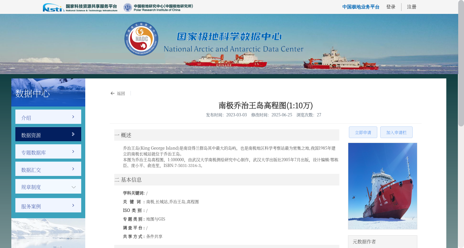
乔治王岛(King George Island)是南设得兰群岛其中最大的岛屿,也是南极地区科学考察站最为密集之地,我国1985年建立的南极长城站就位于乔治王岛。
本图为乔治王岛高程图,1:100000,由武汉大学南极测绘研究中心制作,武汉大学出版社2005年7月出版,设计编辑:鄂栋臣、庞小平、俞连笙,ISBN:7-5031-3316-3。
King George Island is the largest island in the South Shetland Islands, and also one of the regions with the densest concentration of scientific research stations in the Antarctic region. China's Great Wall Station, an Antarctic research station established in 1985, is located on King George Island.
This is an elevation map of King George Island with a scale of 1:100000. It was produced by the Antarctic Surveying and Mapping Research Center of Wuhan University, and published by Wuhan University Press in July 2005. The map was designed and edited by E Dongchen, Pang Xiaoping and Yu Liansheng, with the ISBN 7-5031-3316-3.
提供机构:
中国极地研究中心(中国极地研究所)
创建时间:
2023-03-03
搜集汇总
数据集介绍
背景与挑战
背景概述
该数据集是南极乔治王岛的高程图,比例为1:10万,由武汉大学南极测绘研究中心制作,武汉大学出版社2005年7月出版。数据集包含南极、长城站、乔治王岛等关键词,共享方式为条件共享。
以上内容由遇见数据集搜集并总结生成


