天山北麓诸河流域行政边界分布数据集 (2000)
收藏国家青藏高原科学数据中心2020-07-20 更新2024-03-01 收录
下载链接:
https://data.tpdc.ac.cn/zh-hans/data/9b5c4b82-ae57-44a9-9b52-fff2cb188c67
下载链接
链接失效反馈官方服务:
资源简介:
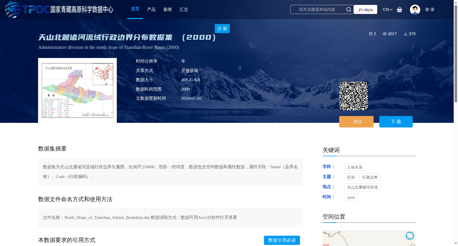
数据集为天山北麓诸河流域行政边界矢量图,比例尺250000,投影:经纬度,数据包含空间数据和属性数据,属性字段:Name(县界名称)、Code(行政编码)。
This dataset is a vector map of administrative boundaries for all river basins on the northern piedmont of the Tianshan Mountains, with a scale of 1:250000 and a latitude-longitude projection. The dataset includes both spatial data and attribute data, with the attribute fields being: Name (county boundary name) and Code (administrative code).
提供机构:
国家基础地理信息中心
创建时间:
2013-12-14
搜集汇总
数据集介绍
背景与挑战
背景概述
该数据集为2000年天山北麓诸河流域的行政边界矢量图,比例尺为250000,投影为经纬度,包含空间数据和属性数据,属性字段包括县界名称和行政编码。数据文件名为North_Slope_of_Tianshan_Admin_Boundary.shp,可使用ArcGIS软件打开查看。
以上内容由遇见数据集搜集并总结生成


