基于卫星高度计的海洋涡旋识别与追踪数据集V2.0
收藏地球大数据科学工程2024-04-21 收录
下载链接:
https://data.casearth.cn/sdo/detail/6184d24d819aec4095ff4d7e
下载链接
链接失效反馈官方服务:
资源简介:
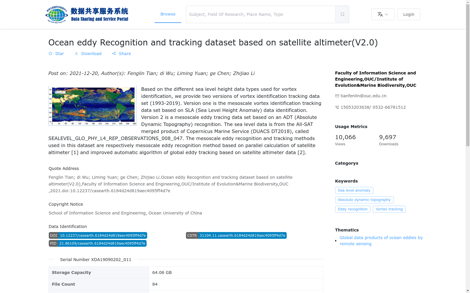
基于涡旋识别所采用的海平面高度数据类型的不同,我们提供两个版本的涡旋识别追踪数据集(1993-2019),版本一是基于SLA(sea level height anomaly)数据识别而来的中尺度涡旋识别追踪数据集,版本二是基于ADT(Absolute dynamic topography)识别而来的中尺度涡旋识别追踪数据集。其中海平面高度数据来自Copernicus Marine Service(DUACS DT2018)的All-sat merged产品,叫做SEALEVEL_GLO_PHY_L4_REP_OBSERVATIONS_008_047。本数据集所采用的中尺度涡旋识别、追踪方法分别是基于卫星高度计的并行计算的中尺度涡旋识别方法[1]和基于卫星高度计数据的全球涡旋追踪的改进自动算法[2]。
Depending on the type of sea level height data employed for vortex identification, we present two versions of mesoscale eddy identification and tracking datasets spanning from 1993 to 2019. Version 1 is a mesoscale eddy identification and tracking dataset derived from SLA (sea level height anomaly) data. Version 2 is a mesoscale eddy identification and tracking dataset developed based on ADT (Absolute dynamic topography) data. The sea level height data utilized in this dataset originates from the All-sat merged product of Copernicus Marine Service (DUACS DT2018), which is designated as SEALEVEL_GLO_PHY_L4_REP_OBSERVATIONS_008_047. The mesoscale eddy identification and tracking methods adopted in this dataset are the parallel computing-based mesoscale eddy identification method for satellite altimeters [1] and the improved automatic algorithm for global eddy tracking using satellite altimeter data [2], respectively.
提供机构:
中国海洋大学信息科学与工程学院; 青岛海洋科学与技术试点国家实验室
搜集汇总
数据集介绍
背景与挑战
背景概述
该数据集是一个基于卫星高度计的海洋中尺度涡旋识别与追踪数据集V2.0,覆盖1993年至2019年,提供全球范围的涡旋数据。它包括两个版本:一个基于海面高度异常(SLA)识别,另一个基于绝对动态地形(ADT)识别,数据来源于Copernicus Marine Service的合并产品。数据集采用json格式,存储容量为64.06 GB,时间分辨率为每日更新至2019年,适用于海洋涡旋监测和再分析研究。
以上内容由遇见数据集搜集并总结生成


