喜马拉雅山区30m相对高差分布数据(2017)
收藏国家青藏高原科学数据中心2023-01-09 更新2024-03-06 收录
下载链接:
https://data.tpdc.ac.cn/zh-hans/data/0c2c4a71-8d74-4d4b-a03d-fb0c3dcf124a
下载链接
链接失效反馈官方服务:
资源简介:
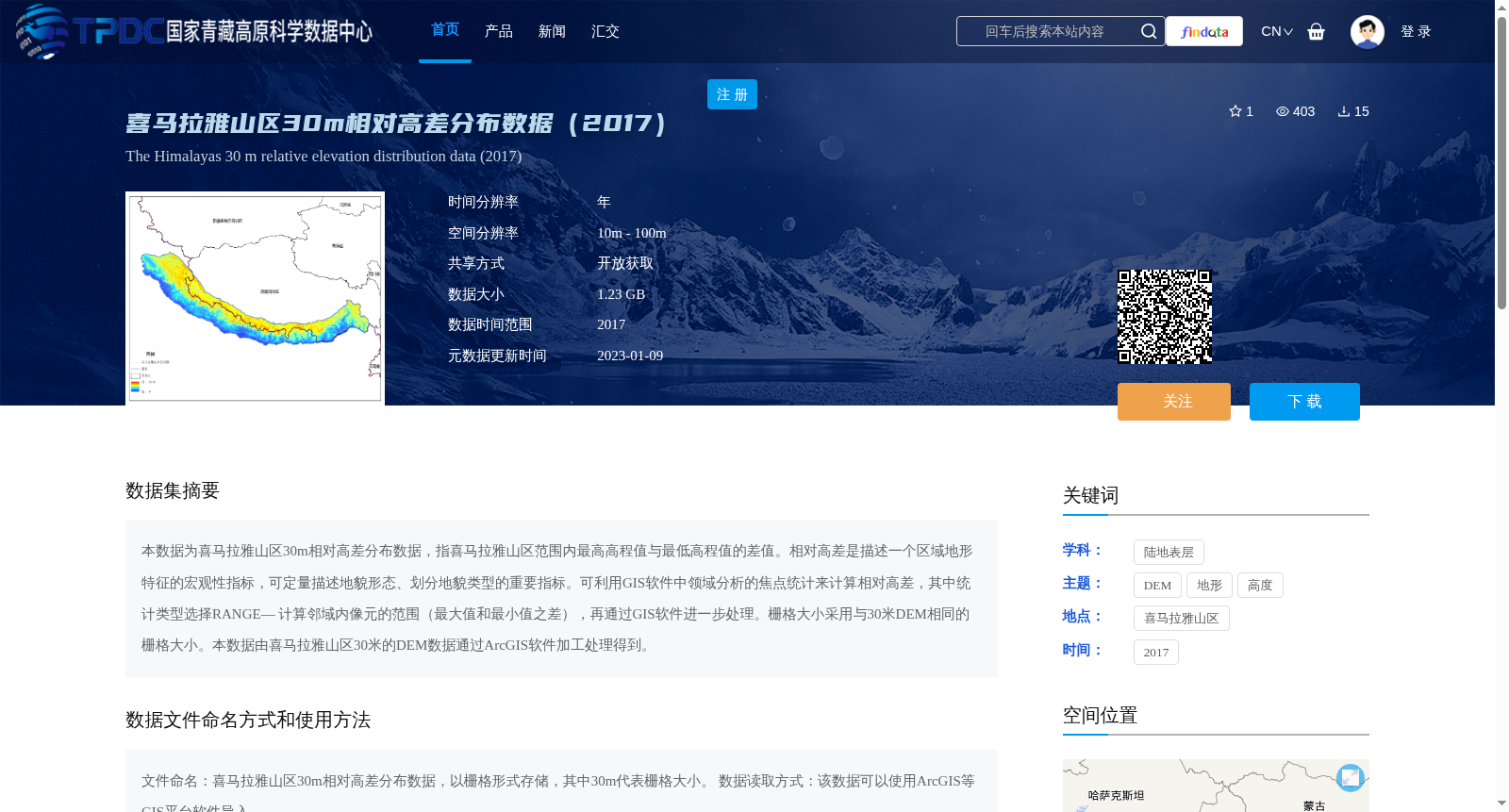
本数据为喜马拉雅山区30m相对高差分布数据,指喜马拉雅山区范围内最高高程值与最低高程值的差值。相对高差是描述一个区域地形特征的宏观性指标,可定量描述地貌形态、划分地貌类型的重要指标。可利用GIS软件中领域分析的焦点统计来计算相对高差,其中统计类型选择RANGE— 计算邻域内像元的范围(最大值和最小值之差),再通过GIS软件进一步处理。栅格大小采用与30米DEM相同的栅格大小。本数据由喜马拉雅山区30米的DEM数据通过ArcGIS软件加工处理得到。
This dataset is the 30m relative elevation difference distribution data of the Himalayas, which refers to the difference between the maximum and minimum elevation values within the Himalayan region. Relative elevation difference is a macroscopic indicator for describing the topographic characteristics of a region, and it is an important index for quantitatively describing landform morphology and classifying landform types. It can be calculated using the focal statistics tool for neighborhood analysis in GIS software, where the statistical type is set to RANGE — which calculates the range (difference between the maximum and minimum values) of pixels within the neighborhood, followed by further processing via GIS software. The raster size is consistent with that of the 30m DEM. This dataset is derived from the 30m DEM data of the Himalayan region through processing with ArcGIS software.
提供机构:
王中根
创建时间:
2022-12-22
搜集汇总
数据集介绍
背景与挑战
背景概述
该数据集为2017年喜马拉雅山区30米相对高差分布数据,通过ArcGIS软件处理30米DEM数据生成,用于定量描述地貌形态和划分地貌类型。数据以栅格形式存储,空间分辨率为10m-100m,数据大小为1.23GB,可通过GIS平台软件如ArcGIS导入使用。
以上内容由遇见数据集搜集并总结生成


