
KidSat
收藏资源简介:
KidSat数据集由牛津大学等机构创建,结合了高分辨率卫星图像和详细的儿童贫困调查数据,旨在通过卫星图像分析儿童贫困情况。该数据集包含33,608张10 km × 10 km的图像,覆盖东非和南非的19个国家,时间跨度为1997至2022年。数据集的创建过程结合了联合国儿童基金会(UNICEF)的多维儿童贫困定义和人口与健康调查(DHS)项目的数据。KidSat数据集主要应用于机器学习模型的基准测试,特别是在卫星图像分析和儿童贫困预测领域。
The KidSat dataset was developed by institutions such as the University of Oxford. It integrates high-resolution satellite imagery and detailed child poverty survey data, aiming to analyze child poverty through satellite image analysis. This dataset contains 33,608 images with a size of 10 km × 10 km, covering 19 countries in East and Southern Africa, spanning the period from 1997 to 2022. The creation of the KidSat dataset incorporates the multidimensional child poverty definition of the United Nations Children's Fund (UNICEF) and data from the Demographic and Health Surveys (DHS) program. The KidSat dataset is primarily used for benchmarking machine learning models, particularly in the domains of satellite image analysis and child poverty prediction.
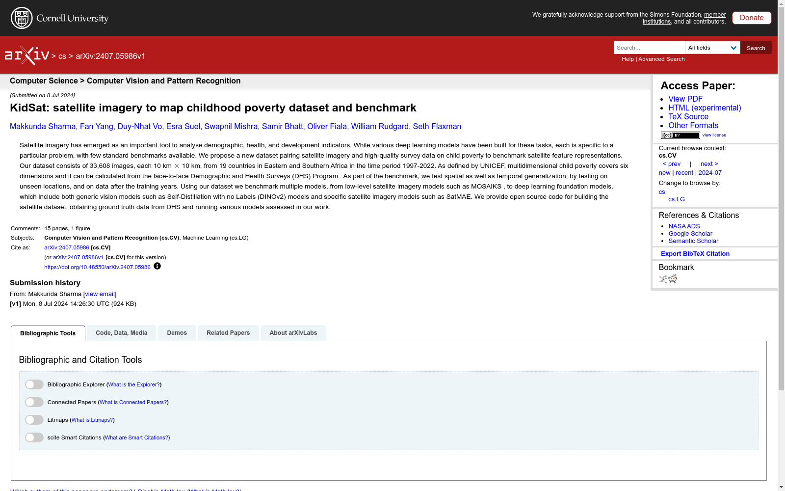
- 1KidSat: satellite imagery to map childhood poverty dataset and benchmark牛津大学 · 2024年


