CAM3模拟输出的降水氧同位素数据集(1950-2020年)
收藏国家地球系统科学数据中心2024-12-13 更新2024-12-14 收录
下载链接:
https://www.geodata.cn/data/datadetails.html?dataguid=3806526891135&docId=1971
下载链接
链接失效反馈官方服务:
资源简介:
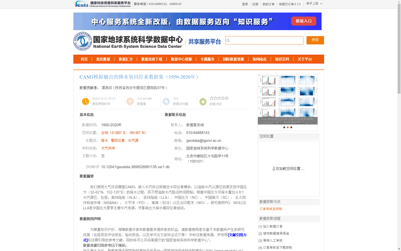
我们使用大气环流模型CAM3,嵌入水汽标记和稳定水同位素模块,以追踪水汽从源区的蒸发到中国北方(32-42°N,102-120°E)的降水过程,而不受追踪水汽路径时间限制。根据中国北方可降水量划分8个水汽源区,包括:高纬陆地(HLA), 低纬陆地(LLA),中国北方(NC), 中国南方(SC), 北大西洋和地中海(MS&NA), 太平洋(PO), 南海(SCS)以及北印度洋(NIO)。研究表明PO、NIO以及LLA是中国北方夏季主要水汽来源,并影响北方降水氧同位素组成。
We employed the General Circulation Model CAM3, which was embedded with water vapor tracers and a stable water isotope module, to track the entire transport process of water vapor from evaporation at source regions to precipitation over northern China (32–42°N, 102–120°E) without any temporal constraints on the traced water vapor pathways. Eight water vapor source regions were classified based on the precipitable water over northern China, including: High-Latitude Land (HLA), Low-Latitude Land (LLA), Northern China (NC), Southern China (SC), North Atlantic and Mediterranean Sea (MS&NA), Pacific Ocean (PO), South China Sea (SCS), and Northern Indian Ocean (NIO). Studies have demonstrated that PO, NIO and LLA are the primary water vapor sources for summer precipitation over northern China, and they also influence the oxygen isotope composition of precipitation in this region.
提供机构:
陕西省西安市雁塔区雁翔路97号
创建时间:
2024-12-13
搜集汇总
数据集介绍
背景与挑战
背景概述
该数据集基于CAM3大气环流模型模拟了1950-2020年全球范围的降水氧同位素数据,重点追踪水汽从8个源区到中国北方(32-42°N,102-120°E)的降水过程,揭示太平洋、北印度洋和低纬陆地是影响该区域降水氧同位素组成的主要水汽来源。数据分辨率为月,与观测数据具有良好一致性,适用于大气科学和水文气候研究。
以上内容由遇见数据集搜集并总结生成


