激光雷达(Lidar)数据服务
收藏贵阳数据交易所2021-12-03 更新2024-03-01 收录
下载链接:
https://www.gzdex.com.cn/market/detail/1320
下载链接
链接失效反馈官方服务:
资源简介:
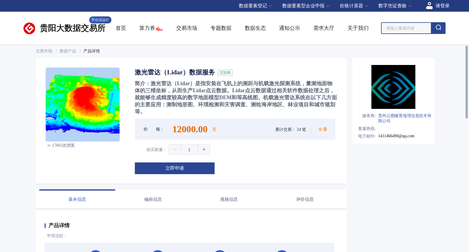
激光雷达(Lidar)是指安装在飞机上的测距与机载激光探测系统,量测地面物体的三维坐标,从而生产Lidar点云数据。Lidar点云数据通过相关软件数据处理之后,就能够生成精度较高的数字地面模型DEM和等高线图。机载激光雷达系统在以下几方面的主要应用:测制地形图、环境检测和灾害调查、测绘海岸地区、林业项目和城市规划等。
LiDAR (Light Detection and Ranging) refers to an airborne laser ranging and detection system installed on aircraft, which measures the three-dimensional coordinates of ground objects to generate LiDAR point cloud data. After being processed with relevant software, LiDAR point cloud data can be used to produce high-precision Digital Elevation Models (DEM) and contour maps. Airborne LiDAR systems have major applications in the following aspects: topographic mapping, environmental monitoring and disaster investigation, coastal area surveying and mapping, forestry projects, and urban planning, among others.
提供机构:
贵州云图瞰景地理信息技术有限公司
创建时间:
2021-12-03
搜集汇总
数据集介绍
背景与挑战
背景概述
该数据集提供通过机载激光雷达系统采集的三维坐标点云数据,经处理可生成高精度数字地面模型和等高线图,广泛应用于地形测绘、环境监测、海岸测绘、林业及城市规划等领域。
以上内容由遇见数据集搜集并总结生成


