鄱阳湖流域航运密度图数据集(2015-2020年)
收藏国家地球系统科学数据中心2024-09-10 更新2024-09-14 收录
下载链接:
https://www.geodata.cn/data/datadetails.html?dataguid=184244196259326&docId=2620
下载链接
链接失效反馈官方服务:
资源简介:
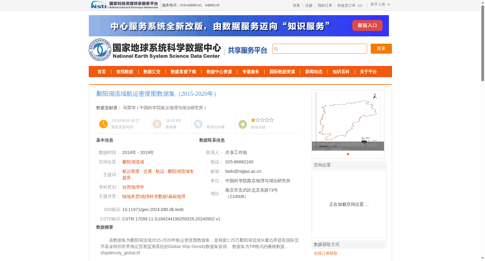
该数据集为鄱阳湖流域2015-2020年航运密度图数据集,是根据1:25万鄱阳湖流域矢量边界提取国际货币基金组织世界海运贸易监测系统的Global Ship Density数据集获得。
数据集为Tiff格式的栅格数据,shipdensity_global.tif
This dataset is the shipping density map dataset of the Poyang Lake Basin from 2015 to 2020. It is extracted from the Global Ship Density dataset of the International Monetary Fund's World Shipping Trade Monitoring System based on the 1:250,000 vector boundary of the Poyang Lake Basin. The dataset is raster data in TIFF format, with the file name shipdensity_global.tif.
提供机构:
中国科学院南京地理与湖泊研究所
创建时间:
2024-09-02
搜集汇总
数据集介绍
背景与挑战
背景概述
该数据集是鄱阳湖流域2015-2020年的航运密度图,基于国际货币基金组织的全球航运密度数据,通过地理信息系统处理生成,适用于航运和交通相关研究。
以上内容由遇见数据集搜集并总结生成


