中国历史土地利用数据集(1990-2015逐年)
收藏国家青藏高原科学数据中心2022-09-21 更新2024-04-26 收录
下载链接:
https://data.tpdc.ac.cn/zh-hans/data/ffb11279-73be-4560-8ce7-38e87308ecfb
下载链接
链接失效反馈官方服务:
资源简介:
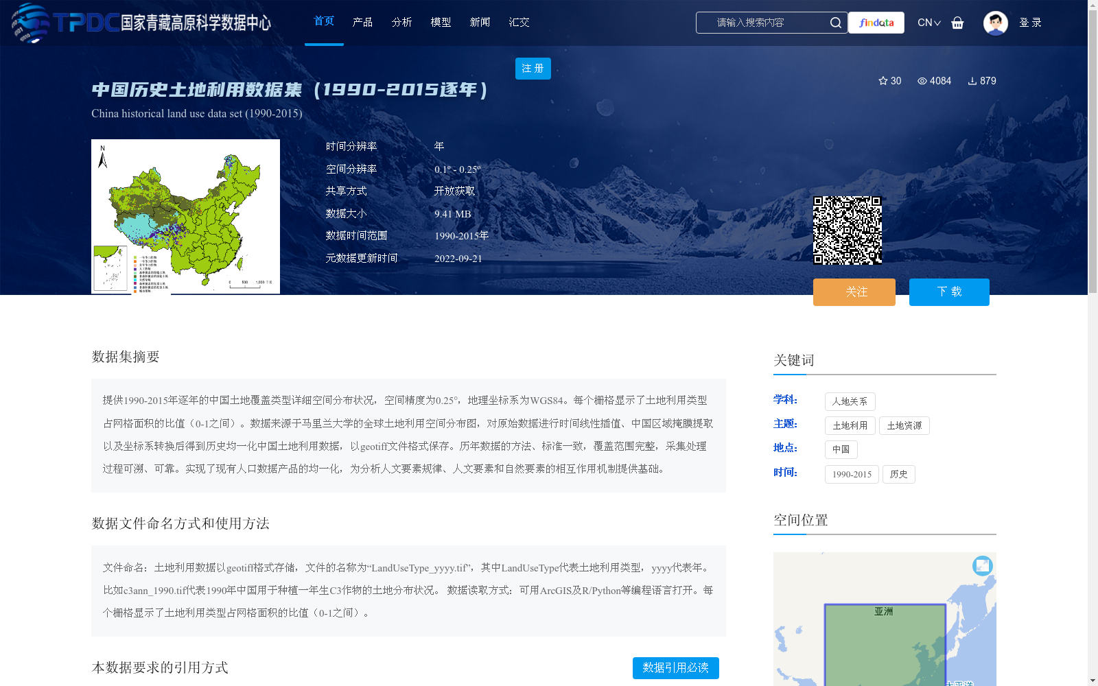
提供1990-2015年逐年的中国土地覆盖类型详细空间分布状况,空间精度为0.25°,地理坐标系为WGS84。每个栅格显示了土地利用类型占网格面积的比值(0-1之间)。数据来源于马里兰大学的全球土地利用空间分布图,对原始数据进行时间线性插值、中国区域掩膜提取以及坐标系转换后得到历史均一化中国土地利用数据,以geotiff文件格式保存。历年数据的方法、标准一致,覆盖范围完整,采集处理过程可溯、可靠。实现了现有人口数据产品的均一化,为分析人文要素规律、人文要素和自然要素的相互作用机制提供基础。
This dataset provides detailed annual spatial distributions of land cover types in China from 1990 to 2015, with a spatial resolution of 0.25° and using the WGS84 geographic coordinate system. Each grid cell displays the ratio (ranging from 0 to 1) of a given land use type to the total area of the grid. The original data is sourced from the global land use spatial distribution map developed by the University of Maryland. After processing the raw data through temporal linear interpolation, Chinese regional mask extraction, and coordinate system conversion, we obtained a historically homogenized land use dataset for China, which is stored in GeoTIFF file format. The methods and standards employed for each year's data are consistent, with complete spatial coverage, and the entire data collection and processing workflow is traceable and reliable. This dataset achieves the homogenization of existing population data products, providing a foundational resource for analyzing the patterns of human factors and the interaction mechanisms between human and natural factors.
提供机构:
王灿,王嘉琛
创建时间:
2022-09-07
搜集汇总
数据集介绍
背景与挑战
背景概述
该数据集提供1990年至2015年逐年的中国土地覆盖类型空间分布数据,空间精度为0.25°,以geotiff格式存储,每个栅格表示土地利用类型占网格面积的比值(0-1之间)。数据基于马里兰大学的全球数据经过线性插值、区域提取和坐标转换处理,具有时间连续性和方法一致性,适用于分析人文与自然要素的相互作用。
以上内容由遇见数据集搜集并总结生成


