2025年1月7日定日县地震区12.5m DEM数据
收藏资源简介:
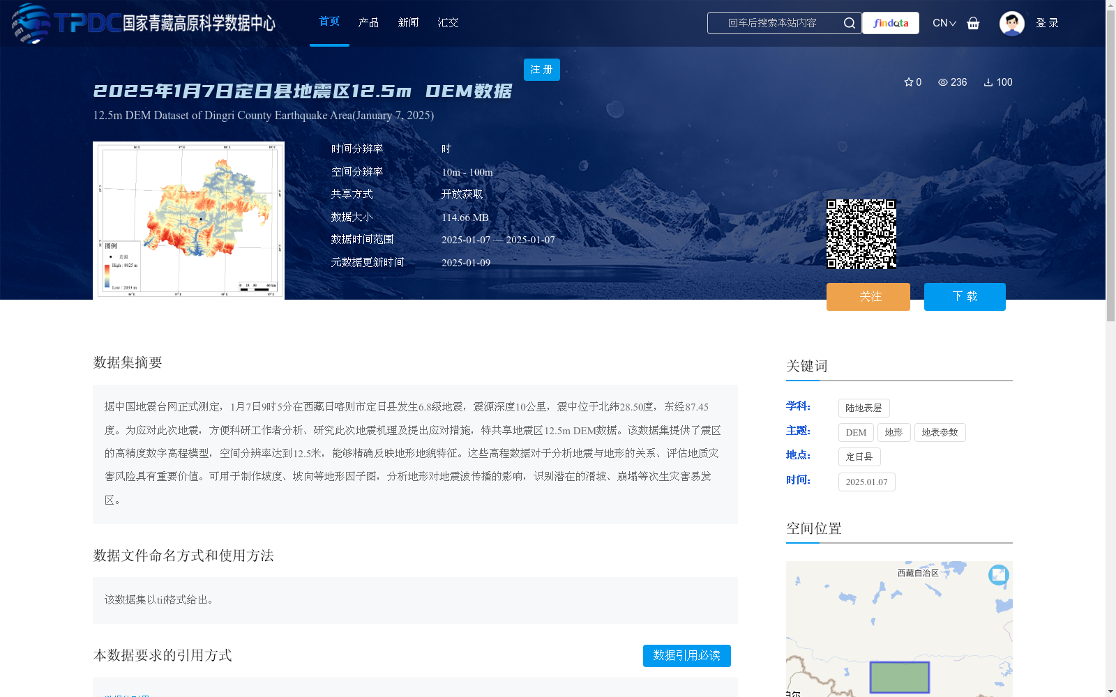
据中国地震台网正式测定,1月7日9时5分在西藏日喀则市定日县发生6.8级地震,震源深度10公里,震中位于北纬28.50度,东经87.45度。为应对此次地震,方便科研工作者分析、研究此次地震机理及提出应对措施,特共享地震区12.5m DEM数据。该数据集提供了震区的高精度数字高程模型,空间分辨率达到12.5米,能够精确反映地形地貌特征。这些高程数据对于分析地震与地形的关系、评估地质灾害风险具有重要价值。可用于制作坡度、坡向等地形因子图,分析地形对地震波传播的影响,识别潜在的滑坡、崩塌等次生灾害易发区。
Officially measured by the China Earthquake Networks Center, a Mw 6.8 earthquake struck Dingri County, Xigaze City, Tibet Autonomous Region at 09:05 on January 7, with a focal depth of 10 km and the epicenter located at 28.50°N, 87.45°E. To address this earthquake and facilitate researchers' analysis of the earthquake mechanism and formulation of response measures, the 12.5m DEM data of the earthquake-affected area is hereby shared. This dataset provides high-precision digital elevation models (DEM) of the affected region, with a spatial resolution of 12.5 meters, which can accurately reflect topographic and geomorphic characteristics. These elevation data are of significant value for analyzing the relationship between earthquakes and topography and assessing geological disaster risks. They can be used to create topographic factor maps such as slope and aspect, analyze the impact of topography on seismic wave propagation, and identify potential secondary disaster-prone areas including landslides and collapses.