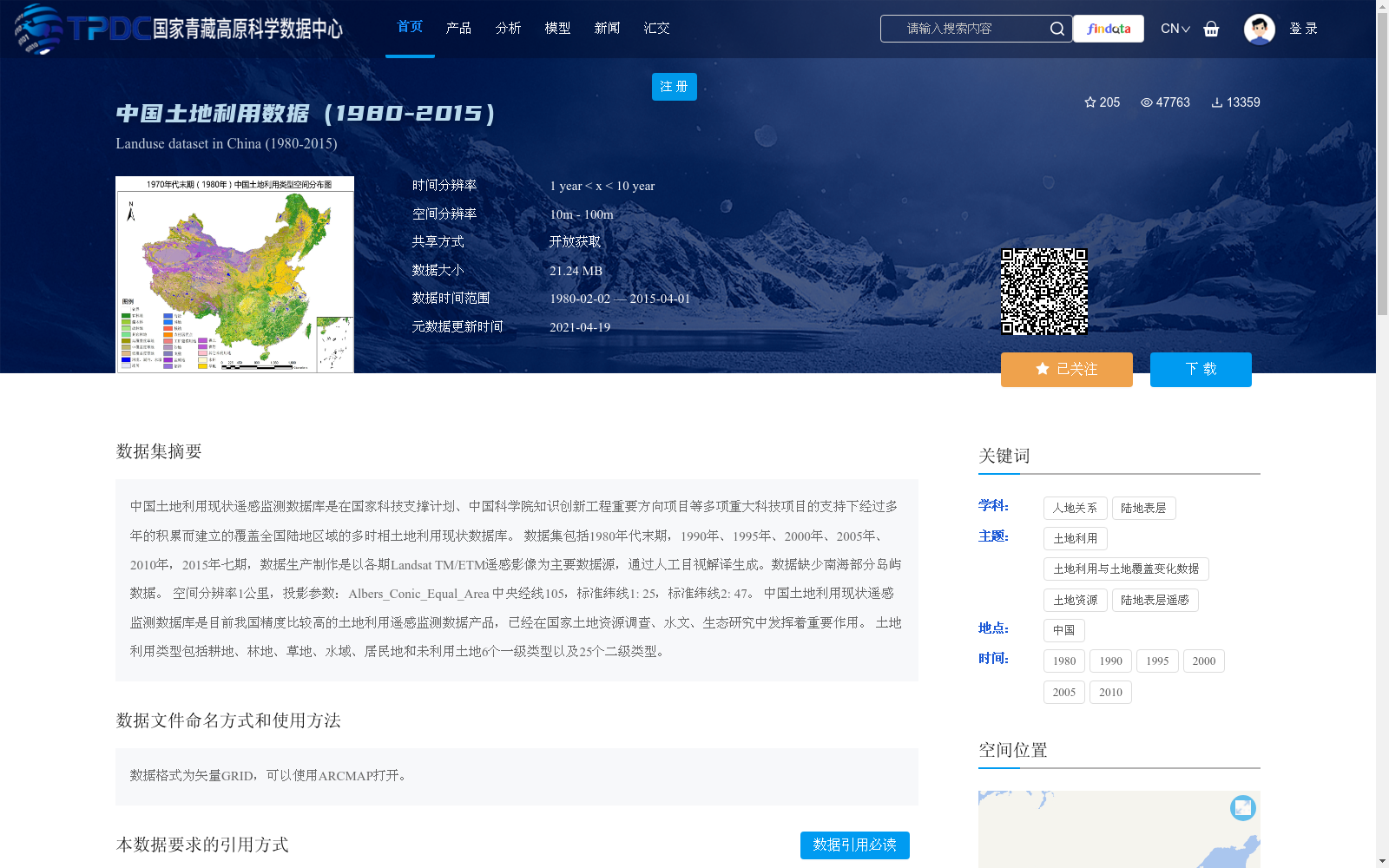
中国土地利用数据(1980-2015)
收藏国家青藏高原科学数据中心2021-04-19 更新2024-03-01 收录
下载链接:
https://data.tpdc.ac.cn/zh-hans/data/a75843b4-6591-4a69-a5e4-6f94099ddc2d
下载链接
链接失效反馈官方服务:
资源简介:
中国土地利用现状遥感监测数据库是在国家科技支撑计划、中国科学院知识创新工程重要方向项目等多项重大科技项目的支持下经过多年的积累而建立的覆盖全国陆地区域的多时相土地利用现状数据库。
数据集包括1980年代末期,1990年、1995年、2000年、2005年、2010年,2015年七期,数据生产制作是以各期Landsat TM/ETM遥感影像为主要数据源,通过人工目视解译生成。数据缺少南海部分岛屿数据。
空间分辨率1公里,投影参数:Albers_Conic_Equal_Area 中央经线105,标准纬线1: 25,标准纬线2: 47。
中国土地利用现状遥感监测数据库是目前我国精度比较高的土地利用遥感监测数据产品,已经在国家土地资源调查、水文、生态研究中发挥着重要作用。
土地利用类型包括耕地、林地、草地、水域、居民地和未利用土地6个一级类型以及25个二级类型。
The Remote Sensing Monitoring Database of Current Land Use in China is a multi-temporal land use database covering the entire terrestrial area of China, developed through years of accumulation with support from multiple major science and technology programs including the National Science and Technology Support Program and Key Projects of the Knowledge Innovation Program of the Chinese Academy of Sciences.
This dataset contains seven temporal phases: late 1980s, 1990, 1995, 2000, 2005, 2010 and 2015. It was generated primarily using Landsat TM/ETM remote sensing images of each phase as the main data source via manual visual interpretation. Note that the dataset lacks data for some islands in the South China Sea.
Spatial resolution: 1 km. Projection parameters: Albers_Conic_Equal_Area, central meridian: 105°, standard parallel 1: 25°, standard parallel 2: 47°.
The Remote Sensing Monitoring Database of Current Land Use in China is currently a land use remote sensing monitoring data product with relatively high precision in China, and has played an important role in national land resource surveys, hydrological and ecological research.
Land use types include 6 first-level categories: cultivated land, forest land, grassland, water area, residential area and unused land, as well as 25 second-level categories.
提供机构:
中国科学院资源环境科学数据中心(http://www.resdc.cn/)
创建时间:
2019-02-06
搜集汇总
数据集介绍
背景与挑战
背景概述
该数据集是中国土地利用现状遥感监测数据库,覆盖1980年代末至2015年的七期数据,基于Landsat TM/ETM遥感影像人工目视解译生成,空间分辨率为1公里。它包括耕地、林地、草地等6个一级类型和25个二级类型,用于支持国家土地资源调查、水文和生态研究,数据以矢量GRID格式提供,可通过ARCMAP打开。
以上内容由遇见数据集搜集并总结生成


