PASTIS
收藏魔搭社区2025-12-25 更新2024-08-31 收录
下载链接:
https://modelscope.cn/datasets/OmniData/PASTIS
下载链接
链接失效反馈官方服务:
资源简介:
displayName: PASTIS (Panoptic Segmentation of satellite image TImes Series)
labelTypes:
- Semantic_seg_map
license:
- Unknown
mediaTypes:
- Image
paperUrl: https://arxiv.org/pdf/2107.07933v3.pdf
publishDate: "2021"
publishUrl: https://github.com/VSainteuf/pastis-benchmark
publisher:
- Gustave Eiffel University
tags:
- Agricultural Parcels
taskTypes:
- Semantic Segmentation
---
# 数据集介绍
## 简介
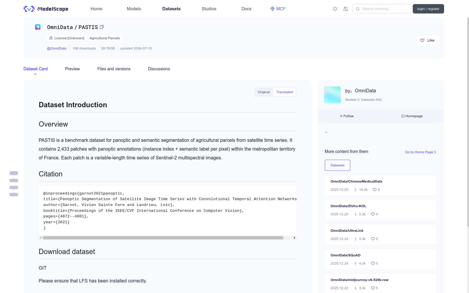
PASTIS 是一个基准数据集,用于从卫星时间序列中对农业地块进行全景和语义分割。它包含法国大都市领土内的 2,433 个带有全景注释(实例索引 + 每个像素的语义标签)的补丁。每个补丁都是可变长度的 Sentinel-2 多光谱图像时间序列。
## 引文
```
@inproceedings{garnot2021panoptic,
title={Panoptic Segmentation of Satellite Image Time Series with Convolutional Temporal Attention Networks},
author={Garnot, Vivien Sainte Fare and Landrieu, Loic},
booktitle={Proceedings of the IEEE/CVF International Conference on Computer Vision},
pages={4872--4881},
year={2021}
}
```
## Download dataset
:modelscope-code[]{type="git"}
数据集名称:PASTIS(卫星图像时间序列全景分割,Panoptic Segmentation of satellite image TImes Series)
标签类型:
- 语义分割图(Semantic_seg_map)
许可协议:
- 未知
媒体类型:
- 图像(Image)
论文链接:https://arxiv.org/pdf/2107.07933v3.pdf
发布年份:2021
发布地址:https://github.com/VSainteuf/pastis-benchmark
发布机构:
- 古斯塔夫·埃菲尔大学(Gustave Eiffel University)
标签:
- 农业地块(Agricultural Parcels)
任务类型:
- 语义分割(Semantic Segmentation)
---
# 数据集概览
## 简介
PASTIS是一款专为卫星图像时间序列下农业地块全景分割与语义分割任务打造的基准数据集。该数据集涵盖法国大都会区域内的2433个图像块,每个图像块均带有全景标注(包含实例索引与逐像素语义标签);每个图像块对应一段长度可变的哨兵-2号(Sentinel-2)多光谱图像时间序列。
## 引文
@inproceedings{garnot2021panoptic,
title={基于卷积时序注意力网络(Convolutional Temporal Attention Networks)的卫星图像时间序列全景分割},
author={Garnot, Vivien Sainte Fare and Landrieu, Loic},
booktitle={IEEE/CVF国际计算机视觉大会论文集(Proceedings of the IEEE/CVF International Conference on Computer Vision)},
pages={4872--4881},
year={2021}
}
## 数据集下载
:modelscope-code[]{type="git"}
提供机构:
maas
创建时间:
2024-07-15
搜集汇总
数据集介绍
背景与挑战
背景概述
PASTIS是一个用于卫星时间序列农业地块全景和语义分割的基准数据集,包含2,433个覆盖法国大都市领土的补丁,每个补丁是Sentinel-2多光谱图像的可变长度时间序列,并带有全景注释(实例索引和语义标签)。该数据集主要用于计算机视觉任务,如农业监测和土地覆盖分析,数据规模为28.76GB,更新于2024年7月。
以上内容由遇见数据集搜集并总结生成


