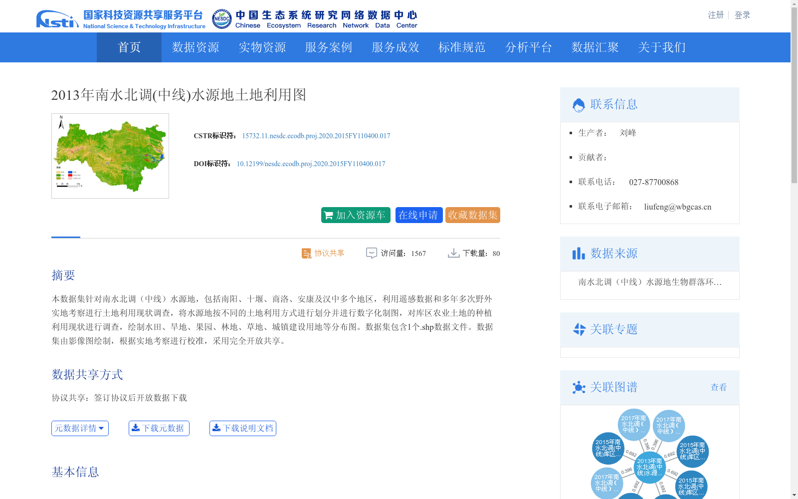
2013年南水北调(中线)水源地土地利用图
收藏资源简介:
本数据集针对南水北调(中线)水源地,包括南阳、十堰、商洛、安康及汉中多个地区,利用遥感数据和多年多次野外实地考察进行土地利用现状调查,将水源地按不同的土地利用方式进行划分并进行数字化制图,对库区农业土地的种植利用现状进行调查,绘制水田、旱地、果园、林地、草地、城镇建设用地等分布图。数据集包含1个.shp数据文件。数据集由影像图绘制,根据实地考察进行校准,采用完全开放共享。
This dataset targets the water source area of the Middle Route of the South-to-North Water Diversion Project, covering multiple regions including Nanyang, Shiyan, Shangluo, Ankang and Hanzhong. It conducts land use status surveys using remote sensing data and multi-year field investigations, divides the water source area into different land use categories, carries out digital mapping, investigates the current planting and utilization status of agricultural land in the reservoir area, and draws distribution maps of paddy fields, drylands, orchards, woodlands, grasslands, urban construction land and other land use types. The dataset contains one .shp format data file. It is compiled based on remote sensing imagery, calibrated via field investigations, and is fully open and publicly shared.