1990-2020年海南岛30m养殖塘变化数据集
收藏地球大数据科学工程2024-03-04 收录
下载链接:
https://data.casearth.cn/sdo/detail/6396cf6c819aec7aa363a691
下载链接
链接失效反馈官方服务:
资源简介:
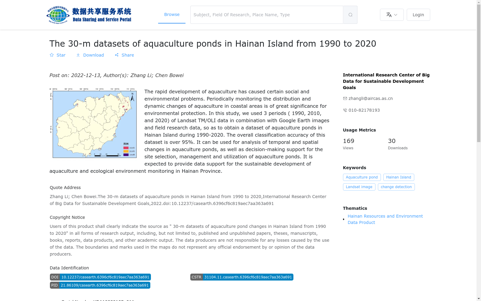
水产养殖业的快速发展造成了一定的社会和环境问题,定期监测近岸地区水产养殖的分布状况和动态变化对于沿海地区的环境保护可持续发展具有重要意义。本研究利用1990年、2010年、2020年共计3期Landsat TM/OLI数据,结合Google Earth影像和野外调研资料,采用结合阈值法的面向对象分类方法获取了1990–2020年海南岛养殖塘变化数据集。本数据集总体分类精度大于95%。本数据集可用于养殖塘时空变化分析,以及养殖塘选址、管理和利用的决策支持,为海南水产养殖可持续发展和生态环境监测提供数据支持。
The rapid development of aquaculture has caused certain social and environmental issues. Regular monitoring of the distribution and dynamic changes of coastal aquaculture is of great significance for the environmental protection and sustainable development of coastal regions. In this study, three phases of Landsat TM/OLI data from 1990, 2010 and 2020 were utilized, combined with Google Earth imagery and field survey data, and an object-oriented classification method incorporating thresholding was adopted to establish the aquaculture pond change dataset for Hainan Island spanning 1990–2020. The overall classification accuracy of this dataset exceeds 95%. This dataset can be used for spatio-temporal change analysis of aquaculture ponds, as well as decision support for site selection, management and utilization of aquaculture ponds, providing data support for the sustainable development of aquaculture and ecological environment monitoring in Hainan.
提供机构:
可持续发展大数据国际研究中心
搜集汇总
数据集介绍
背景与挑战
背景概述
该数据集提供了1990年至2020年海南岛养殖塘的30米分辨率时空变化信息,基于Landsat TM/OLI遥感数据、Google Earth图像和实地调研生成,整体分类精度超过95%。数据集以矢量shape格式存储,涵盖1990年、2010年和2020年三个时期,可用于分析养殖塘的分布与动态变化,支持养殖塘选址、管理决策以及海南省的可持续发展和环境监测。
以上内容由遇见数据集搜集并总结生成


