中国区域地面气象要素驱动数据集 v2.0(1951-2024)
收藏资源简介:
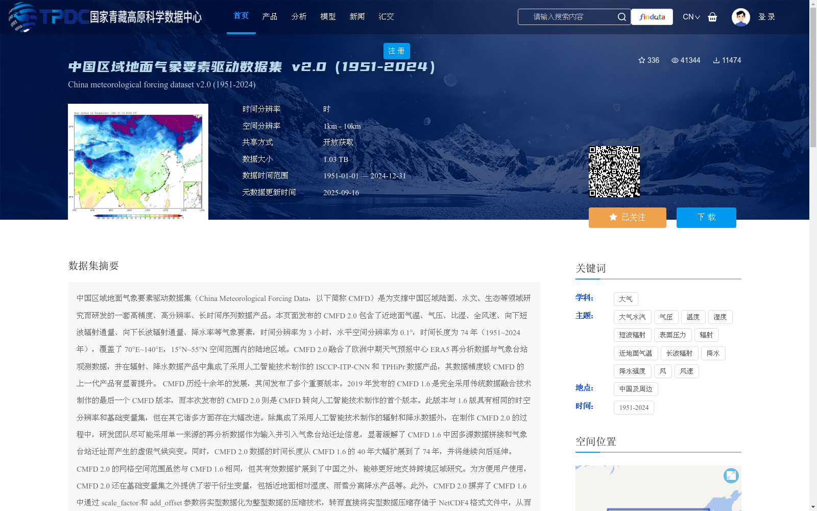
中国区域地面气象要素驱动数据集(China Meteorological Forcing Data,以下简称 CMFD)是为支撑中国区域陆面、水文、生态等领域研究而研发的一套高精度、高分辨率、长时间序列数据产品。本页面发布的 CMFD 2.0 包含了近地面气温、气压、比湿、全风速、向下短波辐射通量、向下长波辐射通量、降水率等气象要素,时间分辨率为 3 小时,水平空间分辨率为 0.1°,时间长度为 74 年(1951~2024 年),覆盖了 70°E~140°E,15°N~55°N 空间范围内的陆地区域。CMFD 2.0 融合了欧洲中期天气预报中心 ERA5 再分析数据与气象台站观测数据,并在辐射、降水数据产品中集成了采用人工智能技术制作的 ISCCP-ITP-CNN 和 TPHiPr 数据产品,其数据精度较 CMFD 的上一代产品有显著提升。 CMFD 历经十余年的发展,其间发布了多个重要版本。2019 年发布的 CMFD 1.6 是完全采用传统数据融合技术制作的最后一个 CMFD 版本,而本次发布的 CMFD 2.0 则是 CMFD 转向人工智能技术制作的首个版本。此版本与 1.6 版具有相同的时空分辨率和基础变量集,但在其它诸多方面存在大幅改进。除集成了采用人工智能技术制作的辐射和降水数据外,在制作 CMFD 2.0 的过程中,研发团队尽可能采用单一来源的再分析数据作为输入并引入气象台站迁址信息,显著缓解了 CMFD 1.6 中因多源数据拼接和气象台站迁址而产生的虚假气候突变。同时,CMFD 2.0 数据的时间长度从 CMFD 1.6 的 40 年大幅扩展到了 74 年,并将继续向后延伸。CMFD 2.0 的网格空间范围虽然与 CMFD 1.6 相同,但其有效数据扩展到了中国之外,能够更好地支持跨境区域研究。为方便用户使用,CMFD 2.0 还在基础变量集之外提供了若干衍生变量,包括近地面相对湿度、雨雪分离降水产品等。此外,CMFD 2.0 摒弃了 CMFD 1.6 中通过 scale_factor 和 add_offset 参数将实型数据化为整型数据的压缩技术,转而直接将实型数据压缩存储于 NetCDF4 格式文件中,从而消除了用户使用数据时进行解压换算的困扰。 本数据集原定版本号为 1.7,但鉴于本数据集从输入数据到研制技术都较上一代数据产品有了大幅的改变,故将其版本号重新定义为 2.0。
The China Meteorological Forcing Data (CMFD) is a high-precision, high-resolution, long-time-series data product developed to support research on land surface, hydrology, ecology and other related fields in China. The CMFD 2.0 released on this page includes meteorological elements such as near-surface air temperature, atmospheric pressure, specific humidity, near-surface wind speed, downward shortwave radiative flux, downward longwave radiative flux, and precipitation rate. It has a temporal resolution of 3 hours, a horizontal spatial resolution of 0.1°, a time span of 74 years (1951–2024), and covers terrestrial areas within the spatial range of 70°E–140°E and 15°N–55°N. CMFD 2.0 fuses the ERA5 reanalysis data from the European Centre for Medium-Range Weather Forecasts (ECMWF) and surface meteorological station observation data, and integrates the ISCCP-ITP-CNN and TPHiPr data products generated using artificial intelligence (AI) technology into its radiation and precipitation data products. The data accuracy of CMFD 2.0 has been significantly improved compared to the previous generation of CMFD products. CMFD has undergone over a decade of development, with multiple important versions released during this period. CMFD 1.6, released in 2019, was the last CMFD version developed entirely using traditional data fusion techniques, while the newly released CMFD 2.0 is the first CMFD version developed with the adoption of artificial intelligence technology. This version shares the same spatiotemporal resolution and basic variable set as version 1.6, but has been substantially improved in many other aspects. In addition to integrating the AI-generated radiation and precipitation data, during the development of CMFD 2.0, the research team adopted single-source reanalysis data as input as much as possible and introduced information on meteorological station relocations, which significantly alleviated the spurious climate shifts caused by multi-source data splicing and meteorological station relocations in CMFD 1.6. Meanwhile, the time span of CMFD 2.0 data has been substantially expanded from 40 years in CMFD 1.6 to 74 years, and will continue to be extended backwards. Although the grid spatial extent of CMFD 2.0 is the same as that of CMFD 1.6, its valid data has been extended beyond China, which better supports cross-border regional research. To facilitate user access, CMFD 2.0 also provides several derived variables in addition to the basic variable set, including near-surface relative humidity, rain-snow separated precipitation products and others. In addition, CMFD 2.0 has abandoned the compression technique in CMFD 1.6 that converts floating-point data to integer data via the scale_factor and add_offset parameters, and instead directly stores compressed floating-point data in NetCDF4 format files, thus eliminating the need for users to perform decompression and conversion when using the data. The original version number of this dataset was intended to be 1.7, but given that this dataset has undergone substantial changes in both input data and development technologies compared to the previous generation of data products, its version number has been redefined as 2.0.