中国区域Sentinel-3A/3B组分温度遥感反演产品数据集(2019)
收藏国家青藏高原科学数据中心2023-02-10 更新2024-03-07 收录
下载链接:
https://data.tpdc.ac.cn/zh-hans/data/e543ef85-39dd-4d72-9482-35a77247f81a
下载链接
链接失效反馈官方服务:
资源简介:
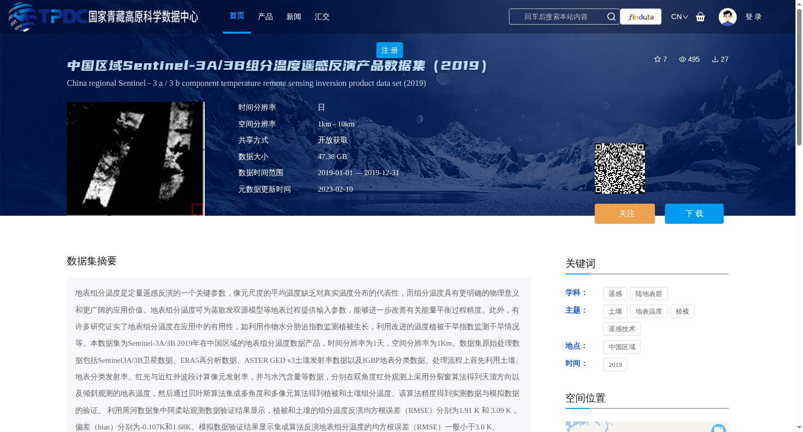
地表组分温度是定量遥感反演的一个关键参数,像元尺度的平均温度缺乏对真实温度分布的代表性,而组分温度具有更明确的物理意义和更广阔的应用价值。地表组分温度可为蒸散发双源模型等地表过程提供输入参数,能够进一步改善有关能量平衡过程精度。此外,有许多研究证实了地表组分温度在应用中的有用性,如利用作物水分胁迫指数监测植被生长,利用改进的温度植被干旱指数监测干旱情况等。本数据集为Sentinel-3A/3B 2019年在中国区域的地表组分温度数据产品,时间分辨率为1天,空间分辨率为1Km。数据集原始处理数据包括Sentinel3A/3B卫星数据、ERA5再分析数据、ASTER GED v3土壤发射率数据以及IGBP地表分类数据。处理流程上首先利用土壤、地表分类发射率、红光与近红外波段计算像元发射率,并与水汽含量等数据,分别在双角度红外观测上采用分裂窗算法得到天顶方向以及倾斜观测的地表温度,然后通过贝叶斯算法集成多角度和多像元算法得到植被和土壤组分温度。该算法精度得到实测数据与模拟数据的验证。 利用黑河数据集中阿柔站观测数据验证结果显示,植被和土壤的组分温度反演均方根误差(RMSE)分别为1.91 K 和 3.09 K,偏差(bias)分别为-0.107K和1.68K。模拟数据验证结果显示集成算法反演地表组分温度的均方根误差(RMSE)一般小于3.0 K。
Land surface component temperature is a key parameter in quantitative remote sensing inversion. The pixel-scale average temperature fails to represent the real temperature distribution, while component temperature has clearer physical significance and broader application value. Land surface component temperature can provide input parameters for surface processes such as the two-source evapotranspiration model, further improving the accuracy of energy balance simulations. In addition, numerous studies have confirmed the utility of land surface component temperature in applications, such as monitoring vegetation growth using the Crop Water Stress Index (CWSI) and drought monitoring using the modified Temperature Vegetation Dryness Index (TVDI), among others. This dataset is a land surface component temperature product derived from Sentinel-3A/3B data over China in 2019, with a temporal resolution of 1 day and a spatial resolution of 1 km. The original processing data of this dataset includes Sentinel-3A/3B satellite data, ERA5 reanalysis data, ASTER GED v3 soil emissivity data, and IGBP land cover classification data. In terms of processing workflow, the pixel emissivity is first calculated using soil, land cover classification emissivity, red and near-infrared bands. Combined with data such as water vapor content, the split-window algorithm is applied to the dual-angle infrared observations to retrieve the surface temperatures in the zenith direction and the oblique observation, respectively. Then, the Bayesian algorithm is used to integrate multi-angle and multi-pixel algorithms to obtain vegetation and soil component temperatures. The accuracy of this algorithm has been validated using both in-situ measured data and simulated data. Validation results using the in-situ observation data from the Arou Station in the Heihe River Basin dataset show that the root mean square errors (RMSE) of the retrieved vegetation and soil component temperatures are 1.91 K and 3.09 K, respectively, with biases of -0.107 K and 1.68 K, respectively. Validation results using simulated data indicate that the RMSE of the land surface component temperature retrieved by the integrated algorithm is generally less than 3.0 K.
提供机构:
卞尊健,范腾远
创建时间:
2023-02-08
搜集汇总
数据集介绍
背景与挑战
背景概述
本数据集为2019年中国区域Sentinel-3A/3B地表组分温度遥感反演产品,时间分辨率为1天,空间分辨率为1km,数据量47.38 GB,通过开放获取共享。它利用双角度红外观测和贝叶斯算法,反演植被和土壤组分温度,精度较高(植被RMSE 1.91 K,土壤RMSE 3.09 K),适用于地表能量平衡、干旱监测等应用。
以上内容由遇见数据集搜集并总结生成


