Data-Gouv-FR/indicateurs-climat-futur-tracc-par-territoire-en-bretagne-par-degre-de-rechauffement
收藏资源简介:
该数据集提供了法国布列塔尼地区基于TRACC(气候变化适应参考变暖轨迹)的未来气候指标投影。指标针对三个全球变暖水平计算:相对于工业化前时期(1850-1900),2030年升温+1.5°C、2050年+2°C、2100年+3°C;这些全球变暖水平分别对应法国升温+2°C、+2.7°C和+4°C。指标适用于不同地域尺度:市镇、EPCI(公共机构间合作)、省、地区、SAGE(水管理与规划方案)和自然保护区。计算涵盖年度、冬季(12月-2月)、春季(3月-5月)、夏季(6月-8月)、秋季(9月-11月),以及水文季节:低水位期(4月-9月)和高水位期(10月-3月)。每个指标均基于17个Explore2模型(经过ADAMONT校正)计算中位数及5%和95%分位数。数据参考期为1976-2005,指标绝对或相对差异均相对于该参考期而非工业化前时期。数据时间覆盖范围为1976年至2100年。数据来源于DRIAS-Climat(Explore2-Climat, 2022)和Météo-France,由OEB(布列塔尼环境观察站)于2026年处理。
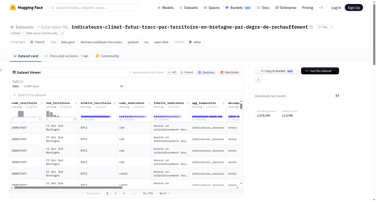
This dataset provides projections of future climate indicators for the Brittany region in France based on the TRACC (Trajectoire de Réchauffement de référence pour lAdaptation au Changement Climatique) reference warming trajectory. Indicators are calculated for three global warming levels: +1.5°C in 2030, +2°C in 2050, and +3°C in 2100 relative to the pre-industrial period (1850-1900); these global warming levels correspond to +2°C, +2.7°C, and +4°C in France, respectively. Indicators are available for various territorial scales: municipality, EPCI (Public Establishment of Inter-municipal Cooperation), department, region, SAGE (Water Development and Management Scheme), and natural reserve. They are computed for the year, winter (December-February), spring (March-May), summer (June-August), autumn (September-November), and by hydrological season: low-water period (April-September) and high-water period (October-March). For each indicator, the median and the 5th and 95th percentiles are calculated from the ensemble of 17 Explore2 models (with ADAMONT correction). The reference period for the indicators is 1976-2005, with absolute or relative differences expressed relative to this period rather than the pre-industrial period. Data temporal coverage spans from 1976 to 2100. Sources include DRIAS-Climat (Explore2-Climat, 2022) and Météo-France, processed by OEB (Observatoire de lEnvironnement en Bretagne) in 2026.