青藏高原植被指数、反照率、陆面温度数据集(1981-2020)
收藏国家青藏高原科学数据中心2023-12-05 更新2024-03-01 收录
下载链接:
https://data.tpdc.ac.cn/zh-hans/data/f1817320-124b-4633-9309-0f20125e276f
下载链接
链接失效反馈官方服务:
资源简介:
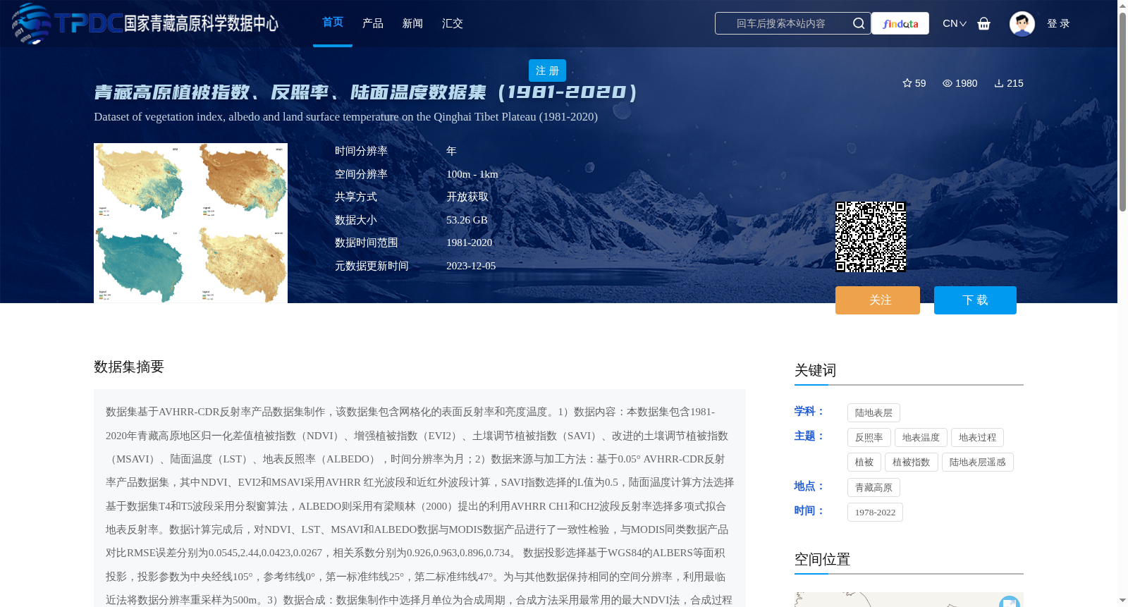
数据集基于AVHRR-CDR反射率产品数据集制作,该数据集包含网格化的表面反射率和亮度温度。1)数据内容:本数据集包含1981-2020年青藏高原地区归一化差值植被指数(NDVI)、增强植被指数(EVI2)、土壤调节植被指数(SAVI)、改进的土壤调节植被指数(MSAVI)、陆面温度(LST)、地表反照率(ALBEDO),时间分辨率为月;2)数据来源与加工方法:基于0.05° AVHRR-CDR反射率产品数据集,其中NDVI、EVI2和MSAVI采用AVHRR 红光波段和近红外波段计算,SAVI指数选择的L值为0.5,陆面温度计算方法选择基于数据集T4和T5波段采用分裂窗算法,ALBEDO则采用有梁顺林(2000)提出的利用AVHRR CH1和CH2波段反射率选择多项式拟合地表反射率。数据计算完成后,对NDVI、LST、MSAVI和ALBEDO数据与MODIS数据产品进行了一致性检验,与MODIS同类数据产品对比RMSE误差分别为0.0545,2.44,0.0423,0.0267,相关系数分别为0.926,0.963,0.896,0.734。 数据投影选择基于WGS84的ALBERS等面积投影,投影参数为中央经线105°,参考纬线0°,第一标准纬线25°,第二标准纬线47°。为与其他数据保持相同的空间分辨率,利用最临近法将数据分辨率重采样为500m。3)数据合成:数据集制作中选择月单位为合成周期,合成方法采用最常用的最大NDVI法,合成过程中参考数据质量标识,当非云NDVI值小于有云NDVI时,恢复非云值(主要为水体)。
This dataset is developed based on the AVHRR-CDR reflectance product dataset, which contains gridded surface reflectance and brightness temperature.
1. Data Content: This dataset includes Normalized Difference Vegetation Index (NDVI), Enhanced Vegetation Index 2 (EVI2), Soil-Adjusted Vegetation Index (SAVI), Modified Soil-Adjusted Vegetation Index (MSAVI), Land Surface Temperature (LST), and Surface Albedo (ALBEDO) over the Qinghai-Tibet Plateau from 1981 to 2020, with a monthly temporal resolution.
2. Data Source and Processing Methods: This dataset is derived from the 0.05° AVHRR-CDR reflectance product dataset. Specifically, NDVI, EVI2 and MSAVI are calculated using the red and near-infrared bands of AVHRR; the L value for SAVI is set to 0.5; Land Surface Temperature is retrieved using the split-window algorithm based on the T4 and T5 bands of the dataset; and Surface Albedo is estimated via polynomial fitting of the reflectance values of AVHRR CH1 and CH2 bands, as proposed by Liang (2000). After computation, consistency checks were conducted between the NDVI, LST, MSAVI and ALBEDO products and their corresponding MODIS counterparts. The RMSE values against MODIS products are 0.0545, 2.44, 0.0423 and 0.0267, respectively, while the correlation coefficients are 0.926, 0.963, 0.896 and 0.734, respectively. The data adopts the ALBERS equal-area projection based on WGS84, with projection parameters: central meridian 105°, reference latitude 0°, first standard parallel 25°, and second standard parallel 47°. To match the spatial resolution of other datasets, the data was resampled to 500m using the nearest neighbor method.
3. Data Synthesis: A monthly composite period is adopted for this dataset. The most widely used maximum NDVI compositing method is employed. During the compositing process, data quality flags are referenced; when the non-cloud NDVI value is lower than the cloud-contaminated NDVI value, the non-cloud value (primarily for water bodies) is retained.
提供机构:
宋翔
创建时间:
2023-04-06
搜集汇总
数据集介绍
背景与挑战
背景概述
该数据集提供了1981-2020年青藏高原地区的植被指数、陆面温度和地表反照率数据,时间分辨率为月,空间分辨率为500m。数据基于AVHRR-CDR反射率产品制作,并经过与MODIS数据的一致性验证,具有较高的准确性。
以上内容由遇见数据集搜集并总结生成


