有没有相关的论文或文献参考?
这个数据集是基于什么背景创建的?
数据集的作者是谁?
能帮我联系到这个数据集的作者吗?
这个数据集如何下载?
Exercises
提供一个关于力量和有氧运动的开放源数据集,旨在帮助用户学习不同的运动类型并创建个性化的锻炼计划。
| 列名 | 描述 |
|---|---|
| name | 运动名称 |
| steps | 执行运动的步骤 |
| notes | 执行运动时的技巧和提示 |
| primaryMuscles | 主要工作肌肉 |
| secondaryMuscles | 辅助工作肌肉 |
<变体 - 可选> 运动名称 – <设备 - 可选>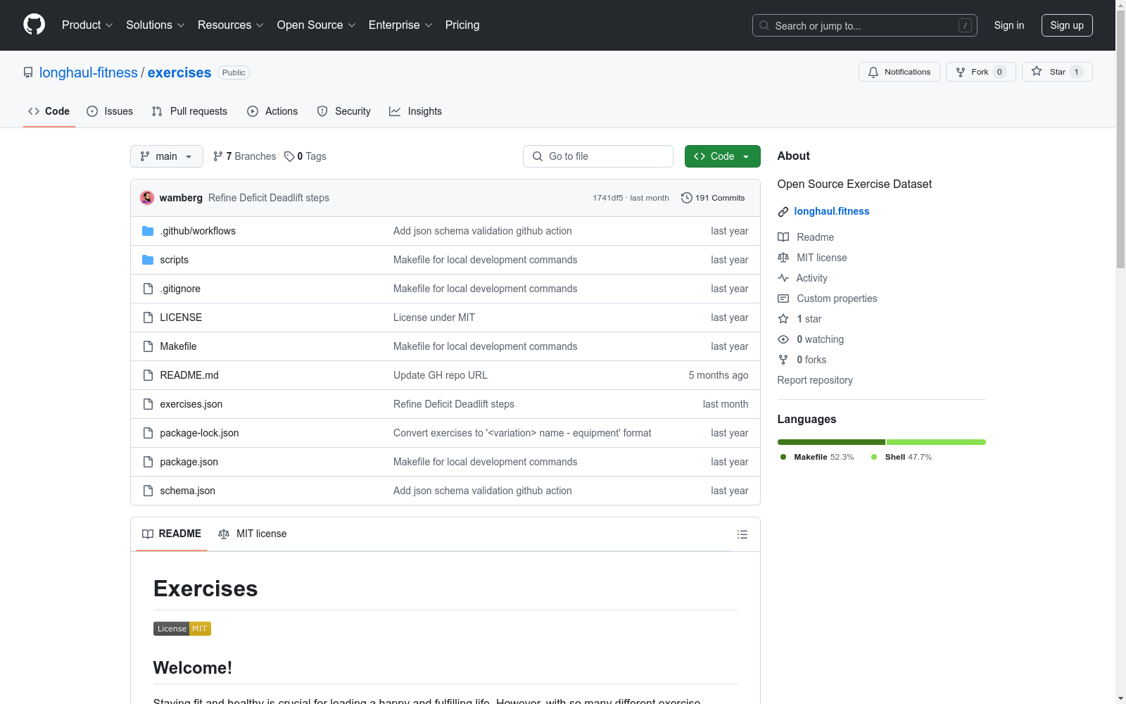
Figshare
Figshare是一个在线数据共享平台,允许研究人员上传和共享各种类型的研究成果,包括数据集、论文、图像、视频等。它旨在促进科学研究的开放性和可重复性。
figshare.com 收录
FAOSTAT Forestry
FAOSTAT Forestry数据集包含了全球森林资源的相关统计数据,涵盖了森林面积、木材产量、森林管理等多个方面。该数据集提供了详细的国别数据,帮助用户了解全球森林资源的现状和变化趋势。
www.fao.org 收录
FEVER
FEVER(Fact Extraction and VERification)数据集是一个用于事实验证任务的数据集,包含超过185,000个标注的声明,这些声明需要从维基百科中提取证据进行验证。数据集的目标是帮助开发和评估自动事实验证系统。
fever.ai 收录
PROSLU
PROSLU数据集是由哈尔滨工业大学社会计算与信息检索研究中心和华为技术有限公司共同创建的,包含超过5000条中文语句,每条语句都配有详细的个人资料信息,如知识图谱、用户资料和上下文感知信息。数据集通过人工标注确保高质量,旨在解决在语义模糊的实际场景中,传统基于文本的口语理解模型可能无法准确识别意图和槽位的问题。该数据集的应用领域主要集中在提高对话系统在复杂环境下的理解和响应能力,特别是在用户意图不明确或语句具有多重含义的情况下。
arXiv 收录
全国 1∶200 000 数字地质图(公开版)空间数据库
As the only one of its kind, China National Digital Geological Map (Public Version at 1∶200 000 scale) Spatial Database (CNDGM-PVSD) is based on China' s former nationwide measured results of regional geological survey at 1∶200 000 scale, and is also one of the nationwide basic geosciences spatial databases jointly accomplished by multiple organizations of China. Spatially, it embraces 1 163 geological map-sheets (at scale 1: 200 000) in both formats of MapGIS and ArcGIS, covering 72% of China's whole territory with a total data volume of 90 GB. Its main sources is from 1∶200 000 regional geological survey reports, geological maps, and mineral resources maps with an original time span from mid-1950s to early 1990s. Approved by the State's related agencies, it meets all the related technical qualification requirements and standards issued by China Geological Survey in data integrity, logic consistency, location acc racy, attribution fineness, and collation precision, and is hence of excellent and reliable quality. The CNDGM-PVSD is an important component of China' s national spatial database categories, serving as a spatial digital platform for the information construction of the State's national economy, and providing informationbackbones to the national and provincial economic planning, geohazard monitoring, geological survey, mineral resources exploration as well as macro decision-making.
DataCite Commons 收录