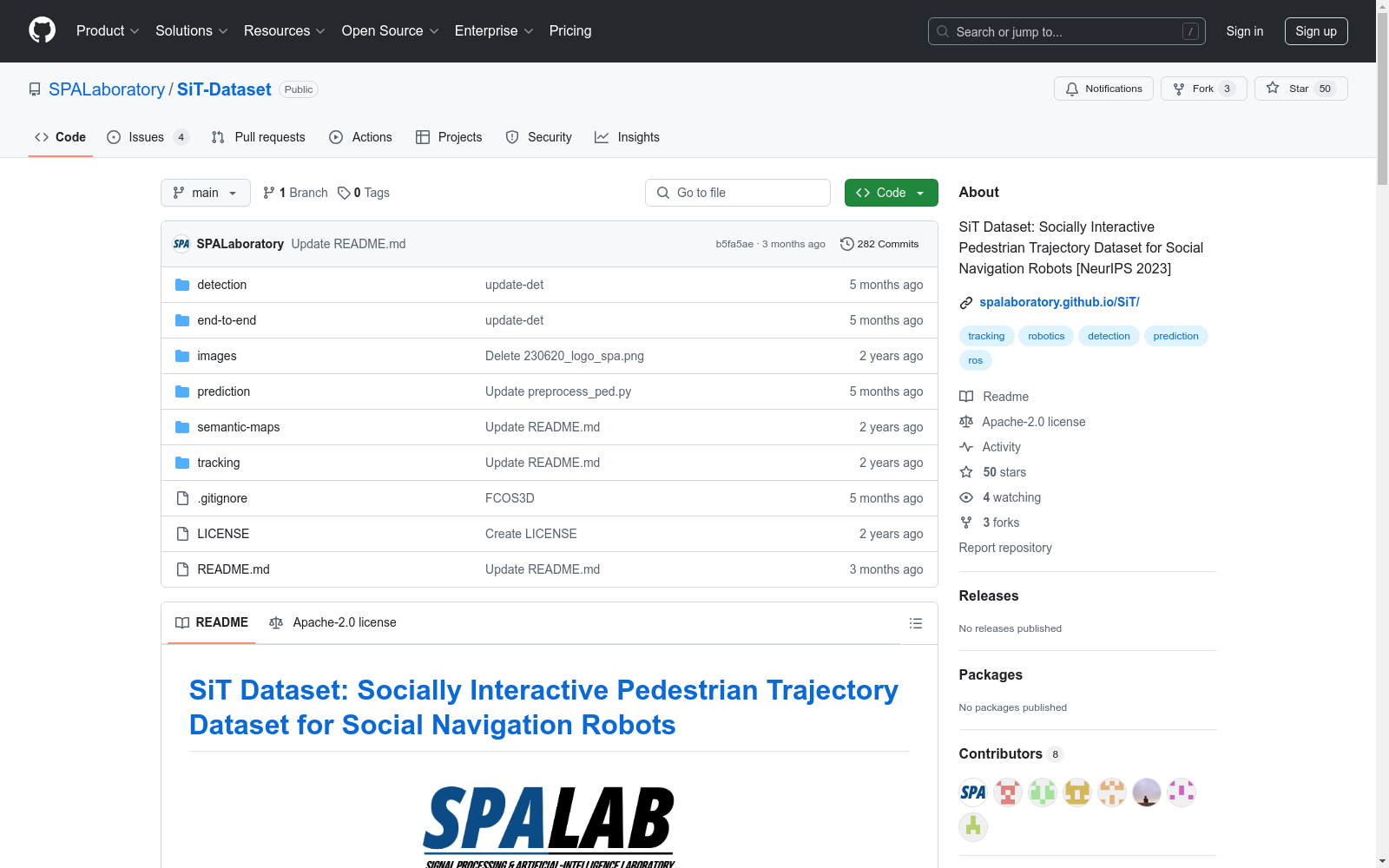
SiT Dataset
收藏资源简介:
我们的社交互动轨迹(SiT)数据集是一个独特的行人轨迹集合,用于设计高级社交导航机器人。它包括一系列传感器数据、注释,并提供了一个机器人导航拥挤环境的独特视角,捕捉动态的人机交互。它被精心组织用于训练和评估跨越3D检测、3D多目标跟踪和轨迹预测等任务的模型,提供了一个端到端的模块化方法。它包括一个全面的基准,并展示了几个基线模型的性能。这个数据集是未来行人轨迹预测研究的一个宝贵资源,支持安全和敏捷的社交导航机器人的开发。
Our Social Interaction Trajectories (SiT) dataset is a unique collection of pedestrian trajectories designed for advanced social navigation robots. It includes a series of sensor data and annotations, providing a unique perspective on robot navigation in crowded environments, capturing dynamic human-robot interactions. It is meticulously organized for training and evaluating models across tasks such as 3D detection, 3D multi-object tracking, and trajectory prediction, offering an end-to-end modular approach. The dataset includes a comprehensive benchmark and demonstrates the performance of several baseline models. This dataset serves as a valuable resource for future research in pedestrian trajectory prediction, supporting the development of safe and agile social navigation robots.
SiT Dataset Overview
Dataset Description
The SiT (Socially Interactive Pedestrian Trajectory) dataset is designed for the development of advanced social navigation robots. It features a collection of pedestrian trajectories along with sensor data and annotations, providing insights from a robot navigating crowded environments. The dataset supports tasks such as 3D detection, 3D multi-object tracking, and trajectory prediction, and includes a comprehensive benchmark with baseline models.
Robot Platform & Sensor Setup
- Operating System: Ubuntu 18.04 LTS
- Robot: Clearpath Husky UGV
- Sensors:
- Velodyne VLP-16 * 2
- RGB Camera Basler a2A1920-51gc PRO GigE * 5
- MTi-680G IMU & GPS * 1
- VectorNAV VN-100 IMU * 1
Ground Truth
- 2D: Includes class name, track ID, camera number, top left X and Y coordinates, width, and height.
- 3D: Includes class name, track ID, height, length, width, X, Y, Z coordinates, and rotation.
Benchmarks
3D Object Detection
| Method | Modality | mAP | AP(0.25) | AP(0.5) | AP(1.0) | AP(2.0) | Trained |
|---|---|---|---|---|---|---|---|
| FCOS3D | Camera | 0.131 | 0.054 | 0.147 | 0.162 | 0.162 | TBD |
| PointPillars | LiDAR | 0.319 | 0.202 | 0.316 | 0.346 | 0.414 | TBD |
| CenterPoint-P | LiDAR | 0.382 | 0.233 | 0.388 | 0.424 | 0.482 | TBD |
| CenterPoint-V | LiDAR | 0.514 | 0.352 | 0.522 | 0.556 | 0.620 | TBD |
| Transfusion-P | Fusion | 0.396 | 0.213 | 0.371 | 0.451 | 0.551 | TBD |
| Transfusion-V | Fusion | 0.533 | 0.360 | 0.512 | 0.587 | 0.672 | TBD |
3D Multi-Object Trajectory Tracking
| Method | sAMOTA | AMOTA | AMOTP(m) | MOTA | MOTP(m) | IDS |
|---|---|---|---|---|---|---|
| PointPillars + AB3DMOT | 0.3679 | 0.0826 | 0.5125 | 0.2073 | 0.9702 | 1048 |
| Centerpoint Detector + AB3DMOT | 0.4626 | 0.1159 | 0.3757 | 0.3438 | 0.8360 | 554 |
| Centerpoint Tracker | 0.7244 | 0.2793 | 0.2611 | 0.5150 | 0.4274 | 1136 |
Pedestrian Trajectory Prediction
| Method | Map | ADE<sub>5</sub> | FDE<sub>5</sub> | ADE<sub>20</sub> | FDE<sub>20</sub> | Trained |
|---|---|---|---|---|---|---|
| Social-LSTM | X | 1.336 | 2.554 | 1.319 | 2.519 | TBD |
| Y-NET | X | 1.188 | 2.427 | 0.640 | 1.547 | TBD |
| Y-NET | O | 1.036 | 2.306 | 0.596 | 1.370 | TBD |
| NSP-SFM | X | 1.036 | 1.947 | 0.529 | 0.936 | TBD |
| NSP-SFM | O | 0.808 | 1.549 | 0.443 | 0.807 | TBD |
End-to-End Pedestrian Motion Forecasting
| Method | mAP | mAP<sub>f</sub> | ADE<sub>5</sub> | FDE<sub>5</sub> | Trained |
|---|---|---|---|---|---|
| Fast and Furious | 0.490 | 0.079 | 1.915 | 3.273 | TBD |
| FutureDet-P | 0.209 | 0.037 | 2.532 | 4.537 | TBD |
| FutureDet-V | 0.408 | 0.053 | 2.416 | 4.409 | TBD |
Download Dataset
- SiT Mini dataset: Download link
- Full dataset and Rosbag files: To be determined (TBD).
ROS Bag Raw Data
Detailed information about the sensor data included in the ROS bagfiles is provided in the dataset documentation.
License
The SiT dataset is published under the CC BY-NC-ND License 4.0, and all codes are published under the Apache License 2.0.